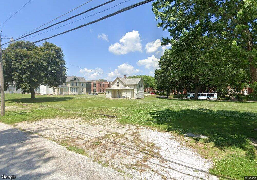
603 W Locust St Davenport, IA 52803
Central Davenport NeighborhoodEstimated Value: $114,000 - $293,000
4
Beds
1
Bath
1,293
Sq Ft
$124/Sq Ft
Est. Value
About This Home
This home is located at 603 W Locust St, Davenport, IA 52803 and is currently estimated at $160,219, approximately $123 per square foot. 603 W Locust St is a home located in Scott County with nearby schools including Crofton Elementary School, Christian County Day Treatment Center Alt, and Casey County Middle School.
Ownership History
Date
Name
Owned For
Owner Type
Purchase Details
Closed on
Apr 14, 2014
Sold by
Ingleby Michael and Ryder Jon Scott
Bought by
St Ambrose University
Current Estimated Value
Purchase Details
Closed on
May 7, 2008
Sold by
Vu Khoai and Chu Loan
Bought by
Ryder Ii Jon Scott and Ingleby Michael A
Create a Home Valuation Report for This Property
The Home Valuation Report is an in-depth analysis detailing your home's value as well as a comparison with similar homes in the area
Home Values in the Area
Average Home Value in this Area
Purchase History
| Date | Buyer | Sale Price | Title Company |
|---|---|---|---|
| St Ambrose University | $120,000 | None Available | |
| Ryder Ii Jon Scott | $72,500 | None Available |
Source: Public Records
Mortgage History
| Date | Status | Borrower | Loan Amount |
|---|---|---|---|
| Closed | Ryder Ii Jon Scott | $0 |
Source: Public Records
Tax History Compared to Growth
Tax History
| Year | Tax Paid | Tax Assessment Tax Assessment Total Assessment is a certain percentage of the fair market value that is determined by local assessors to be the total taxable value of land and additions on the property. | Land | Improvement |
|---|---|---|---|---|
| 2025 | -- | $99,000 | $22,500 | $76,500 |
| 2024 | -- | $88,070 | $0 | $0 |
| 2023 | -- | $88,070 | $0 | $0 |
| 2022 | $0 | $68,720 | $0 | $0 |
| 2021 | $0 | $67,710 | $0 | $0 |
| 2020 | $0 | $60,580 | $0 | $0 |
| 2019 | $0 | $0 | $0 | $0 |
| 2018 | $0 | $0 | $0 | $0 |
| 2017 | $0 | $0 | $0 | $0 |
| 2016 | $1,322 | $0 | $0 | $0 |
| 2015 | $1,322 | $59,570 | $0 | $0 |
| 2014 | $1,322 | $59,570 | $0 | $0 |
| 2013 | $1,300 | $0 | $0 | $0 |
| 2012 | -- | $55,290 | $12,500 | $42,790 |
Source: Public Records
Map
Nearby Homes
- 503 W 17th St
- 734 W 17th St
- 1605 N Harrison St
- 1925 Vine St
- 2211 Western Ave
- 2133 Warren St
- 2218 Western Ave
- 2221 Western Ave
- 822 W 14th St
- 1518 N Main St
- 617 W 13th St
- 1319 Warren St
- 930 W 14th St
- 922 W Lombard St
- 816 Spalding Blvd
- 2230 Warren St
- 2038 N Myrtle St
- 1921 Lillie Ave
- 1321 N Main St
- 822 W Rusholme St
- 539 W Locust St
- 609 W Locust St
- 535 W Locust St
- 615 W Locust St
- 529 W Locust St
- 619 W Locust St Unit 2
- 602 W 17th St
- 542 W 17th St
- 534 W 17th St
- 610 W 17th St
- 625 W Locust St
- 612 W 17th St
- 604 - 604 1 2 W 17th
- 604-604 1/2 W 17th St
- 521 W Locust St
- 530 W 17th St
- 610 W 17th St
- 616 W 17th St
- 604 W 17th St
- 629 W Locust St