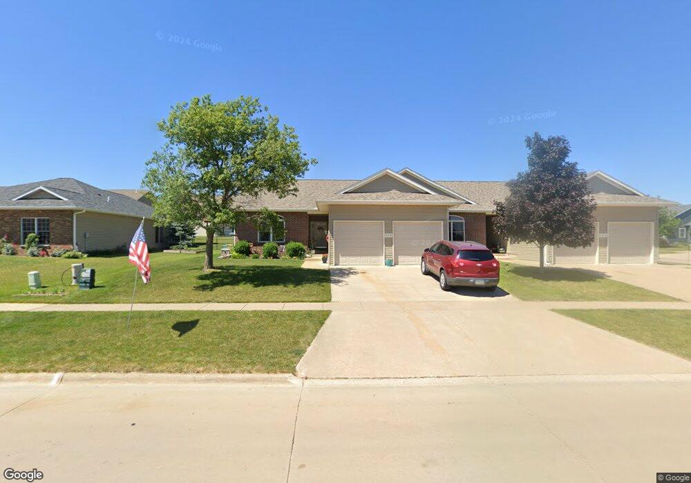
603 W Orange St West Branch, IA 52358
Estimated Value: $252,000 - $290,000
2
Beds
1
Bath
1,316
Sq Ft
$201/Sq Ft
Est. Value
About This Home
This home is located at 603 W Orange St, West Branch, IA 52358 and is currently estimated at $264,258, approximately $200 per square foot. 603 W Orange St is a home located in Cedar County with nearby schools including Hoover Elementary School, West Branch Middle School, and West Branch High School.
Ownership History
Date
Name
Owned For
Owner Type
Purchase Details
Closed on
May 18, 2011
Sold by
Davis Grace W
Bought by
Mills Virgil C and Mills Debra A
Current Estimated Value
Purchase Details
Closed on
Apr 15, 2008
Sold by
Slach Gary B and Slach Janlyn B
Bought by
Davis Grace W
Create a Home Valuation Report for This Property
The Home Valuation Report is an in-depth analysis detailing your home's value as well as a comparison with similar homes in the area
Home Values in the Area
Average Home Value in this Area
Purchase History
| Date | Buyer | Sale Price | Title Company |
|---|---|---|---|
| Mills Virgil C | $161,000 | None Available | |
| Davis Grace W | $163,000 | None Available |
Source: Public Records
Tax History Compared to Growth
Tax History
| Year | Tax Paid | Tax Assessment Tax Assessment Total Assessment is a certain percentage of the fair market value that is determined by local assessors to be the total taxable value of land and additions on the property. | Land | Improvement |
|---|---|---|---|---|
| 2025 | $3,908 | $262,470 | $50,450 | $212,020 |
| 2024 | $3,908 | $253,920 | $50,450 | $203,470 |
| 2023 | $3,878 | $248,440 | $50,450 | $197,990 |
| 2022 | $3,668 | $198,650 | $36,430 | $162,220 |
| 2021 | $3,732 | $198,650 | $36,430 | $162,220 |
| 2020 | $3,612 | $193,050 | $30,830 | $162,220 |
| 2019 | $3,162 | $181,930 | $30,830 | $162,220 |
| 2018 | $3,092 | $181,930 | $0 | $0 |
| 2017 | $3,092 | $169,360 | $0 | $0 |
| 2016 | $3,046 | $169,360 | $0 | $0 |
| 2015 | $3,034 | $168,030 | $0 | $0 |
| 2014 | $3,034 | $168,030 | $0 | $0 |
Source: Public Records
Map
Nearby Homes
- 609 W Orange St
- 611 Riley Ln
- 173 Hilltop Dr
- Lot 17 Meadows Subdivision Part 5
- 719 Sullivan St
- 212 Dawson Dr
- 817 Prairie View Dr
- Lot 17 the Meadows Subdivision Part 5
- Lot 19 Meadows Subdivision Part 6
- 436 Dawson Dr
- Lot 17 Meadows Subdivision Part 6
- Lot 16 Meadows Subdivision Part 6
- Lot 18 Meadows Subdivision Part 6
- Lot 15 Meadows Subdivision Part 6
- Lot 14 Meadows Subdivision Part 6
- Lot 6 Meadows Subdivision Part 6
- Lot 11 Meadows Subdivision Part 6
- Lot 12 Meadows Subdivision Part 6
- Lot 13 Meadows Subdivision Part 6
- Lot 3 Meadows Subdivision Part 6
- 601 W Orange St
- 605 W Orange St
- 600 Sullivan St
- 604 Sullivan St
- 604 W Orange St
- 811 W Orange St
- 606 W Orange St
- 611 W Orange St
- 610 W Orange St
- 305 Gilbert Dr
- 608 W Orange St
- 601 Sullivan St
- 304 Gilbert Dr
- 613 W Orange St
- 606 Sullivan St
- 307 Gilbert Dr
- 612 W Orange St
- 603 Sullivan St
- 615 W Orange St
- 254 Pedersen St