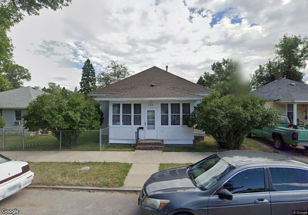
603 W Shields St Lewistown, MT 59457
Estimated Value: $158,000 - $194,000
2
Beds
1
Bath
780
Sq Ft
$220/Sq Ft
Est. Value
About This Home
This home is located at 603 W Shields St, Lewistown, MT 59457 and is currently estimated at $171,378, approximately $219 per square foot. 603 W Shields St is a home located in Fergus County with nearby schools including Fergus High School.
Ownership History
Date
Name
Owned For
Owner Type
Purchase Details
Closed on
Nov 27, 2019
Sold by
Tammy Messier-Gossett
Bought by
Larson Brittany
Current Estimated Value
Home Financials for this Owner
Home Financials are based on the most recent Mortgage that was taken out on this home.
Original Mortgage
$73,232
Outstanding Balance
$64,565
Interest Rate
3.6%
Mortgage Type
Construction
Estimated Equity
$106,813
Purchase Details
Closed on
Dec 20, 2018
Sold by
Bakkedahl Robyn Living
Bought by
Messier Tammy Gossett
Create a Home Valuation Report for This Property
The Home Valuation Report is an in-depth analysis detailing your home's value as well as a comparison with similar homes in the area
Home Values in the Area
Average Home Value in this Area
Purchase History
| Date | Buyer | Sale Price | Title Company |
|---|---|---|---|
| Larson Brittany | $91,540 | Realty Title Inc | |
| Messier Tammy Gossett | $72,030 | Reality Title |
Source: Public Records
Mortgage History
| Date | Status | Borrower | Loan Amount |
|---|---|---|---|
| Open | Larson Brittany | $73,232 |
Source: Public Records
Tax History Compared to Growth
Tax History
| Year | Tax Paid | Tax Assessment Tax Assessment Total Assessment is a certain percentage of the fair market value that is determined by local assessors to be the total taxable value of land and additions on the property. | Land | Improvement |
|---|---|---|---|---|
| 2025 | $1,174 | $147,700 | $0 | $0 |
| 2024 | $1,372 | $113,200 | $0 | $0 |
| 2023 | $1,378 | $113,200 | $0 | $0 |
| 2022 | $1,178 | $76,600 | $0 | $0 |
| 2021 | $885 | $76,600 | $0 | $0 |
| 2020 | $1,036 | $72,800 | $0 | $0 |
| 2019 | $195 | $72,800 | $0 | $0 |
| 2018 | $887 | $60,055 | $0 | $0 |
| 2017 | $678 | $60,055 | $0 | $0 |
| 2016 | $852 | $59,000 | $0 | $0 |
| 2015 | $656 | $59,000 | $0 | $0 |
| 2014 | $578 | $29,150 | $0 | $0 |
Source: Public Records
Map
Nearby Homes
- 506 Brassey St
- 1201 3rd Ave S
- 1203 3rd Ave S
- 401 7th Ave S
- 112 Uranium Dr
- 1109 W Water St
- 211 Cedar St
- 115 7th Ave N
- 217 Park Ave
- 624 W Broadway St
- 1011 W Broadway St
- 1220 W Main St
- 307 E Janeaux St
- 113 15th Ave S
- 210 S High St
- 318 W Evelyn St
- 514 2nd Ave N
- 316 W Corcoran St
- 105 Hillcrest Dr
- 313 W Idaho St
- 605 W Shields St
- 607 W Shields St
- 617 W Shields St
- 606 W Shields St
- 619 W Shields St
- 601 W Shields St
- 610 Farewell St
- 616 Farewell St
- 604 W Shields St
- 620 Farewell St
- 1010 6th Ave S
- 624 W Shields St
- 602 W Shields St
- 624 Farewell St
- 523 W Shields St
- 615 W Farewell St
- 1102 6th Ave S
- 522 Farewell St
- 603 Farewell St
- 615 Farewell St