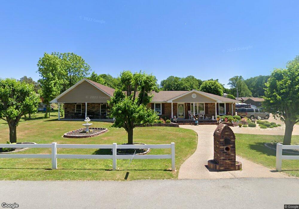
603 Wagon Trail Rd Clarksville, TN 37042
Estimated Value: $264,000 - $397,659
--
Bed
2
Baths
2,402
Sq Ft
$139/Sq Ft
Est. Value
About This Home
This home is located at 603 Wagon Trail Rd, Clarksville, TN 37042 and is currently estimated at $334,553, approximately $139 per square foot. 603 Wagon Trail Rd is a home located in Montgomery County with nearby schools including Liberty Elementary School, New Providence Middle School, and Northwest High School.
Ownership History
Date
Name
Owned For
Owner Type
Purchase Details
Closed on
Nov 16, 2016
Sold by
Reda Ricky C
Bought by
Reda Steven
Current Estimated Value
Purchase Details
Closed on
May 25, 2007
Sold by
Wallis Bobby C
Bought by
Reda Ricky C
Home Financials for this Owner
Home Financials are based on the most recent Mortgage that was taken out on this home.
Original Mortgage
$66,150
Interest Rate
6.16%
Purchase Details
Closed on
Mar 19, 2007
Sold by
Beachler Cory C
Bought by
Wallis Bobby C
Purchase Details
Closed on
Nov 2, 1994
Sold by
Hadorn Guy E
Bought by
Beachler Cory C
Create a Home Valuation Report for This Property
The Home Valuation Report is an in-depth analysis detailing your home's value as well as a comparison with similar homes in the area
Home Values in the Area
Average Home Value in this Area
Purchase History
| Date | Buyer | Sale Price | Title Company |
|---|---|---|---|
| Reda Steven | -- | -- | |
| Reda Ricky C | $73,500 | -- | |
| Wallis Bobby C | $75,000 | -- | |
| Beachler Cory C | -- | -- |
Source: Public Records
Mortgage History
| Date | Status | Borrower | Loan Amount |
|---|---|---|---|
| Previous Owner | Beachler Cory C | $66,150 |
Source: Public Records
Tax History Compared to Growth
Tax History
| Year | Tax Paid | Tax Assessment Tax Assessment Total Assessment is a certain percentage of the fair market value that is determined by local assessors to be the total taxable value of land and additions on the property. | Land | Improvement |
|---|---|---|---|---|
| 2024 | $3,617 | $121,375 | $0 | $0 |
| 2023 | $3,617 | $70,450 | $0 | $0 |
| 2022 | $2,106 | $70,450 | $0 | $0 |
| 2021 | $2,106 | $71,725 | $0 | $0 |
| 2020 | $2,883 | $71,725 | $0 | $0 |
| 2019 | $2,883 | $71,725 | $0 | $0 |
| 2018 | $1,681 | $37,625 | $0 | $0 |
| 2017 | $952 | $31,000 | $0 | $0 |
| 2016 | $805 | $26,225 | $0 | $0 |
| 2015 | $1,105 | $26,225 | $0 | $0 |
| 2014 | $1,090 | $26,225 | $0 | $0 |
| 2013 | $1,357 | $31,000 | $0 | $0 |
Source: Public Records
Map
Nearby Homes