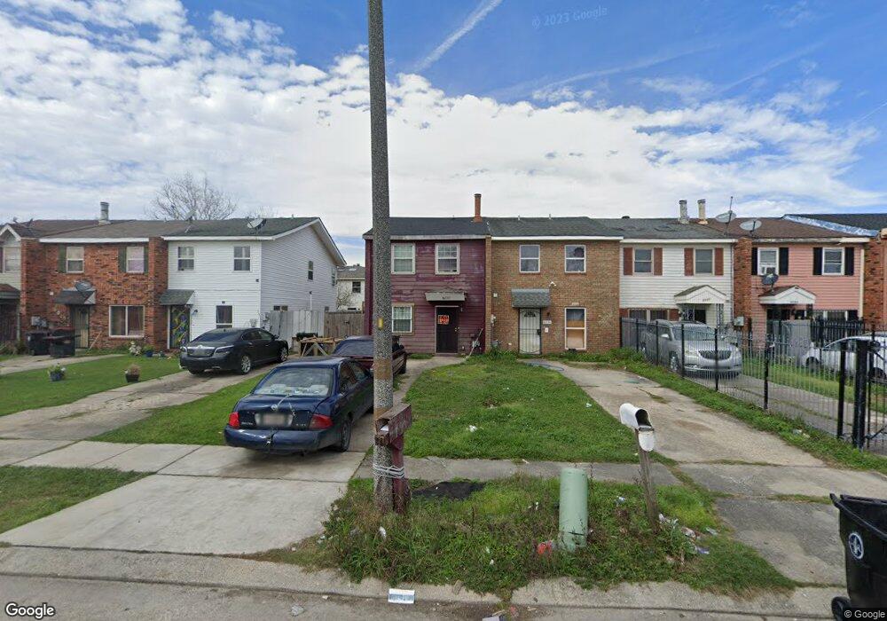
6030 Boeing St New Orleans, LA 70126
Pines Village NeighborhoodEstimated Value: $72,000 - $115,000
3
Beds
1
Bath
1,404
Sq Ft
$62/Sq Ft
Est. Value
About This Home
This home is located at 6030 Boeing St, New Orleans, LA 70126 and is currently estimated at $86,415, approximately $61 per square foot. 6030 Boeing St is a home located in Orleans Parish with nearby schools including KIPP East Community Primary, KIPP Morial, and Mary Bethune Elementary School.
Ownership History
Date
Name
Owned For
Owner Type
Purchase Details
Closed on
Sep 18, 2009
Sold by
Hibernia Homestead Bank
Bought by
Dannel Amy Marie
Current Estimated Value
Purchase Details
Closed on
Feb 24, 2003
Sold by
Rene Sandra B
Bought by
Wilson Robert
Home Financials for this Owner
Home Financials are based on the most recent Mortgage that was taken out on this home.
Original Mortgage
$45,500
Interest Rate
5.9%
Create a Home Valuation Report for This Property
The Home Valuation Report is an in-depth analysis detailing your home's value as well as a comparison with similar homes in the area
Home Values in the Area
Average Home Value in this Area
Purchase History
| Date | Buyer | Sale Price | Title Company |
|---|---|---|---|
| Dannel Amy Marie | $10,000 | -- | |
| Wilson Robert | $55,400 | -- |
Source: Public Records
Mortgage History
| Date | Status | Borrower | Loan Amount |
|---|---|---|---|
| Previous Owner | Wilson Robert | $45,500 |
Source: Public Records
Tax History Compared to Growth
Tax History
| Year | Tax Paid | Tax Assessment Tax Assessment Total Assessment is a certain percentage of the fair market value that is determined by local assessors to be the total taxable value of land and additions on the property. | Land | Improvement |
|---|---|---|---|---|
| 2025 | $587 | $4,450 | $370 | $4,080 |
| 2024 | $596 | $4,450 | $370 | $4,080 |
| 2023 | $438 | $3,250 | $370 | $2,880 |
| 2022 | $438 | $3,110 | $370 | $2,740 |
| 2021 | $468 | $3,250 | $370 | $2,880 |
| 2020 | $473 | $3,250 | $370 | $2,880 |
| 2019 | $491 | $3,250 | $490 | $2,760 |
| 2018 | $501 | $3,250 | $490 | $2,760 |
| 2017 | $478 | $3,250 | $490 | $2,760 |
| 2016 | $493 | $3,250 | $490 | $2,760 |
| 2015 | $565 | $3,800 | $490 | $3,310 |
| 2014 | -- | $3,800 | $490 | $3,310 |
| 2013 | -- | $3,800 | $490 | $3,310 |
Source: Public Records
Map
Nearby Homes
- 6036 Boeing St
- 6024 Boeing St
- 6042 Boeing St
- 6018 Boeing St
- 6048 Boeing St
- 6012 Boeing St
- 6054 Boeing St
- 6006 Boeing St
- 6060 Boeing St
- 6031 Beechcraft St
- 6025 Beechcraft St
- 6037 Beechcraft St
- 6043 Beechcraft St
- 6000 Boeing St
- 6049 Beechcraft St
- 6019 Beechcraft St
- 6055 Beechcraft St
- 5948 Boeing St
- 6061 Beechcraft St
- 6013 Beechcraft St