6030 Carniglia Ln Petaluma, CA 94952
Estimated Value: $1,300,052 - $1,777,000
4
Beds
3
Baths
3,456
Sq Ft
$475/Sq Ft
Est. Value
About This Home
This home is located at 6030 Carniglia Ln, Petaluma, CA 94952 and is currently estimated at $1,643,263, approximately $475 per square foot. 6030 Carniglia Ln is a home located in Sonoma County with nearby schools including Dunham Elementary School, Petaluma Junior High School, and Petaluma High School.
Ownership History
Date
Name
Owned For
Owner Type
Purchase Details
Closed on
Jun 7, 2012
Sold by
Mcdevitt Michael J
Bought by
Mcdevitt Michael J
Current Estimated Value
Purchase Details
Closed on
Jun 13, 1994
Sold by
Mcdevitt Michael James
Bought by
Mcdevitt Michael J
Home Financials for this Owner
Home Financials are based on the most recent Mortgage that was taken out on this home.
Original Mortgage
$99,000
Interest Rate
8.56%
Purchase Details
Closed on
Sep 28, 1988
Bought by
Mc Devitt Michael J Tr
Create a Home Valuation Report for This Property
The Home Valuation Report is an in-depth analysis detailing your home's value as well as a comparison with similar homes in the area
Home Values in the Area
Average Home Value in this Area
Purchase History
| Date | Buyer | Sale Price | Title Company |
|---|---|---|---|
| Mcdevitt Michael J | -- | None Available | |
| Mcdevitt Michael J | -- | Northwestern Title Security | |
| Mc Devitt Michael J Tr | $127,500 | -- |
Source: Public Records
Mortgage History
| Date | Status | Borrower | Loan Amount |
|---|---|---|---|
| Closed | Mcdevitt Michael J | $99,000 |
Source: Public Records
Tax History Compared to Growth
Tax History
| Year | Tax Paid | Tax Assessment Tax Assessment Total Assessment is a certain percentage of the fair market value that is determined by local assessors to be the total taxable value of land and additions on the property. | Land | Improvement |
|---|---|---|---|---|
| 2025 | $8,668 | $811,864 | $262,706 | $549,158 |
| 2024 | $8,668 | $795,946 | $257,555 | $538,391 |
| 2023 | $8,668 | $780,340 | $252,505 | $527,835 |
| 2022 | $8,445 | $765,040 | $247,554 | $517,486 |
| 2021 | $8,258 | $750,040 | $242,700 | $507,340 |
| 2020 | $8,324 | $742,350 | $240,212 | $502,138 |
| 2019 | $7,994 | $727,795 | $235,502 | $492,293 |
| 2018 | $7,938 | $713,526 | $230,885 | $482,641 |
| 2017 | $7,804 | $699,536 | $226,358 | $473,178 |
| 2016 | $7,553 | $685,820 | $221,920 | $463,900 |
| 2015 | $7,366 | $675,519 | $218,587 | $456,932 |
| 2014 | $7,276 | $662,288 | $214,306 | $447,982 |
Source: Public Records
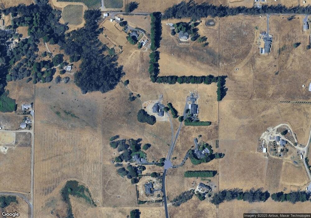
Map
Nearby Homes
- 5611 Blank Rd
- 6000 Petersen Rd
- 6675 Petersen Rd
- 5227 Wendell Ln
- 5300 Gravenstein Hwy S
- 5601 S Gravenstein Hwy
- 5301 Hutchinson Rd
- 3920 Gravenstein Hwy S
- 3765 Twig Ave
- 3790 Gravenstein Hwy S
- 6067 Gilmore Ave
- 6140 Gilmore Ave
- 2705 Roblar Rd
- 5816 Lowell Ct
- 6060 Oak Ave
- 1415 Schaeffer Rd
- 5111 Todd Rd
- 4201 Bloomfield Rd
- 188 Rancho Verde Cir
- 705 Corte Blanco
- 6031 Carniglia Ln
- 6020 Carniglia Ln
- 6021 Carniglia Ln
- 6430 Orchard Station Rd
- 6010 Carniglia Ln
- 6436 Orchard Station Rd
- 6011 Carniglia Ln
- 5369 Blank Rd
- 6502 Orchard Station Rd
- 5655 Roblar Rd
- 6540 Orchard Station Rd
- 5669 Roblar Rd
- 5379 Blank Rd
- 5430 Roblar Rd
- 6504 Orchard Station Rd
- 6570 Orchard Station Rd
- 6580 Orchard Station Rd
- 6630 Orchard Station Rd
- 6501 Orchard Station Rd
- 6610 Orchard Station Rd