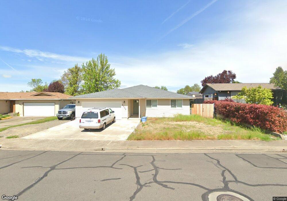
6030 Rock Way Central Point, OR 97502
Estimated Value: $392,000 - $411,000
3
Beds
3
Baths
1,750
Sq Ft
$229/Sq Ft
Est. Value
About This Home
This home is located at 6030 Rock Way, Central Point, OR 97502 and is currently estimated at $400,176, approximately $228 per square foot. 6030 Rock Way is a home located in Jackson County with nearby schools including Jewett Elementary School, Scenic Middle School, and Crater High School.
Ownership History
Date
Name
Owned For
Owner Type
Purchase Details
Closed on
Dec 15, 2021
Sold by
Lynn Dennis E
Bought by
Paxson Michael and Paxson Jeanne
Current Estimated Value
Purchase Details
Closed on
Apr 19, 1999
Sold by
Blair Thomas E and Blair Bobbie A
Bought by
Lynn Dennis E
Home Financials for this Owner
Home Financials are based on the most recent Mortgage that was taken out on this home.
Original Mortgage
$83,600
Interest Rate
7.1%
Create a Home Valuation Report for This Property
The Home Valuation Report is an in-depth analysis detailing your home's value as well as a comparison with similar homes in the area
Purchase History
| Date | Buyer | Sale Price | Title Company |
|---|---|---|---|
| Paxson Michael | $47,000 | First American Title | |
| Lynn Dennis E | $104,500 | Jackson County Title |
Source: Public Records
Mortgage History
| Date | Status | Borrower | Loan Amount |
|---|---|---|---|
| Previous Owner | Lynn Dennis E | $83,600 |
Source: Public Records
Tax History
| Year | Tax Paid | Tax Assessment Tax Assessment Total Assessment is a certain percentage of the fair market value that is determined by local assessors to be the total taxable value of land and additions on the property. | Land | Improvement |
|---|---|---|---|---|
| 2026 | $3,557 | $214,930 | -- | -- |
| 2025 | $3,469 | $208,670 | $51,610 | $157,060 |
| 2024 | $3,469 | $202,600 | $50,110 | $152,490 |
| 2023 | $2,903 | $151,900 | $48,650 | $103,250 |
| 2022 | $2,533 | $151,900 | $48,650 | $103,250 |
| 2021 | $2,460 | $147,480 | $47,230 | $100,250 |
| 2020 | $2,388 | $143,190 | $45,850 | $97,340 |
| 2019 | $2,330 | $134,980 | $43,210 | $91,770 |
| 2018 | $2,259 | $131,050 | $41,950 | $89,100 |
| 2017 | $2,202 | $131,050 | $41,950 | $89,100 |
| 2016 | $2,138 | $123,540 | $39,540 | $84,000 |
| 2015 | $2,036 | $123,540 | $39,540 | $84,000 |
| 2014 | $1,947 | $116,460 | $37,270 | $79,190 |
Source: Public Records
Map
Nearby Homes
- 5030 Del Mar Dr
- 4055 Crestwood Cir
- 335 Applewood Dr
- 1855 Nancy Ave
- 1860 Cottonwood Dr
- 356 Marian Ave Unit 40
- 366 Marian Ave Unit 39
- 4626 N Pacific Hwy
- 369 Cascade Dr
- 426 Bridge Creek Dr
- 348 Cascade Dr
- 1167 Boulder Ridge St
- 0 Boulder Ridge St
- 545 Bridge Creek Dr
- 55 Crater Ln
- 1317 River Run St
- 833 Hazel St
- 342 Hazel St
- 348 N 6th St
- 606 Blue Moon Dr