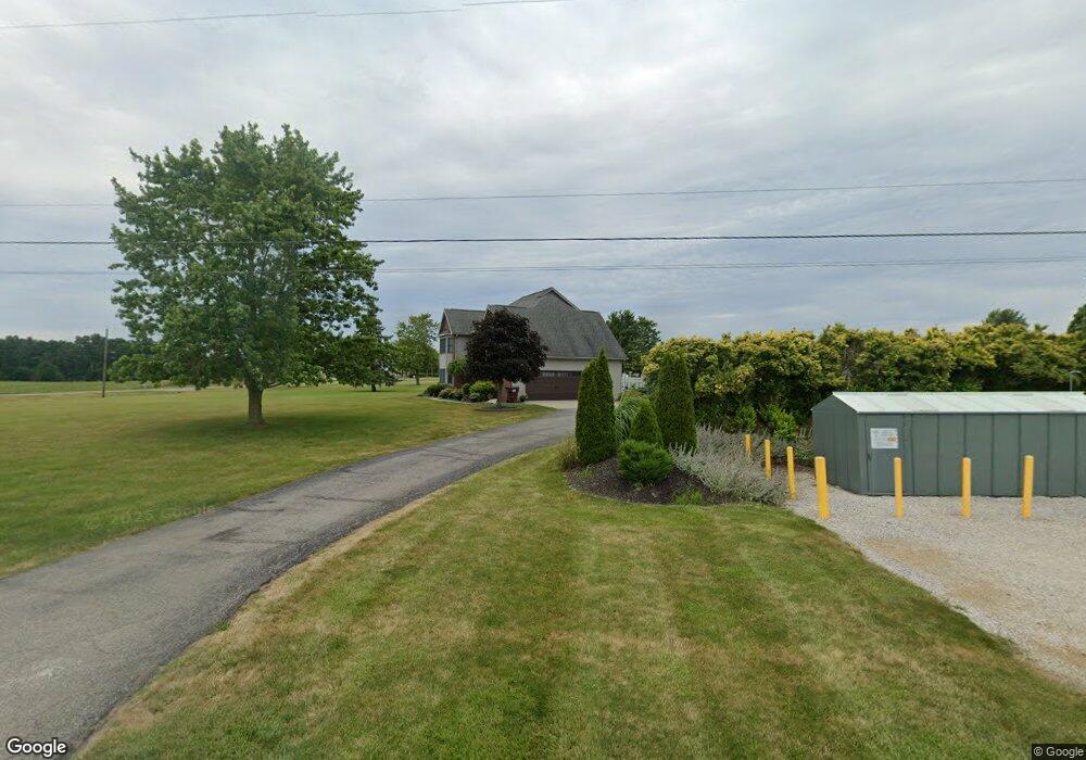
6031 County Road 13 Wauseon, OH 43567
Estimated Value: $469,000 - $530,000
5
Beds
3
Baths
2,664
Sq Ft
$187/Sq Ft
Est. Value
About This Home
This home is located at 6031 County Road 13, Wauseon, OH 43567 and is currently estimated at $497,108, approximately $186 per square foot. 6031 County Road 13 is a home located in Fulton County with nearby schools including Wauseon Primary School, Wauseon Elementary School, and Wauseon Middle School.
Ownership History
Date
Name
Owned For
Owner Type
Purchase Details
Closed on
May 13, 2014
Sold by
Day David W and Day Michelle S
Bought by
Gerig Matthew A and Gerig Jessica A
Current Estimated Value
Home Financials for this Owner
Home Financials are based on the most recent Mortgage that was taken out on this home.
Original Mortgage
$192,000
Outstanding Balance
$104,028
Interest Rate
4.41%
Mortgage Type
New Conventional
Estimated Equity
$393,080
Purchase Details
Closed on
Jan 1, 1990
Bought by
Day David W and Day Michelle S
Create a Home Valuation Report for This Property
The Home Valuation Report is an in-depth analysis detailing your home's value as well as a comparison with similar homes in the area
Home Values in the Area
Average Home Value in this Area
Purchase History
| Date | Buyer | Sale Price | Title Company |
|---|---|---|---|
| Gerig Matthew A | $240,000 | None Available | |
| Day David W | -- | -- |
Source: Public Records
Mortgage History
| Date | Status | Borrower | Loan Amount |
|---|---|---|---|
| Open | Gerig Matthew A | $192,000 |
Source: Public Records
Tax History Compared to Growth
Tax History
| Year | Tax Paid | Tax Assessment Tax Assessment Total Assessment is a certain percentage of the fair market value that is determined by local assessors to be the total taxable value of land and additions on the property. | Land | Improvement |
|---|---|---|---|---|
| 2024 | $7,226 | $149,630 | $10,750 | $138,880 |
| 2023 | $7,228 | $149,630 | $10,750 | $138,880 |
| 2022 | $7,078 | $124,710 | $8,960 | $115,750 |
| 2021 | $7,424 | $124,710 | $8,960 | $115,750 |
| 2020 | $6,924 | $124,710 | $8,960 | $115,750 |
| 2019 | $5,261 | $94,430 | $8,470 | $85,960 |
| 2018 | $4,868 | $94,430 | $8,470 | $85,960 |
| 2017 | $4,799 | $94,430 | $8,470 | $85,960 |
| 2016 | $4,857 | $90,340 | $8,470 | $81,870 |
| 2015 | $4,669 | $90,340 | $8,470 | $81,870 |
| 2014 | $4,536 | $90,340 | $8,470 | $81,870 |
| 2013 | $4,407 | $77,110 | $8,370 | $68,740 |
Source: Public Records
Map
Nearby Homes
- 1058 Seneca Dr
- 1090 Seneca Dr
- 1066 Seneca Dr
- 1062 Seneca Dr
- Integrity 1830 Plan at Arrowhead Trails
- integrity 2280 Plan at Arrowhead Trails
- Integrity 2080 Plan at Arrowhead Trails
- 1209 Apache Dr
- 13242 Us Highway 20a
- 801 N Shoop Ave
- 00 Glenwood
- 0 Glenwood Unit 6124946
- 911 Doris Dr
- 527 E Elm St
- 13354 U S 20a
- 303 Eastwood St
- 351 E Walnut St
- 217 Marshall St
- 139 Marshall St
- 460 Airport Hwy
- 13060 County Road F
- 6085 County Road 13
- 13090 County Road F
- 6117 County Road 13
- 6132 County Road 13
- 13146 County Road Unit Id F
- 6151 County Road 13
- 13146 County Road F
- 13146 County Road F Unit ID
- 13131 County Road F
- 6181 County Road 13
- 13170 County Road F
- 13175 County Road F
- 6205 County Road 13
- 75 Apache Dr
- 74 Apache Dr
- 72 Apache Dr
- 80 Apache Dr
- 70 Apache Dr
- 69 Apache Dr