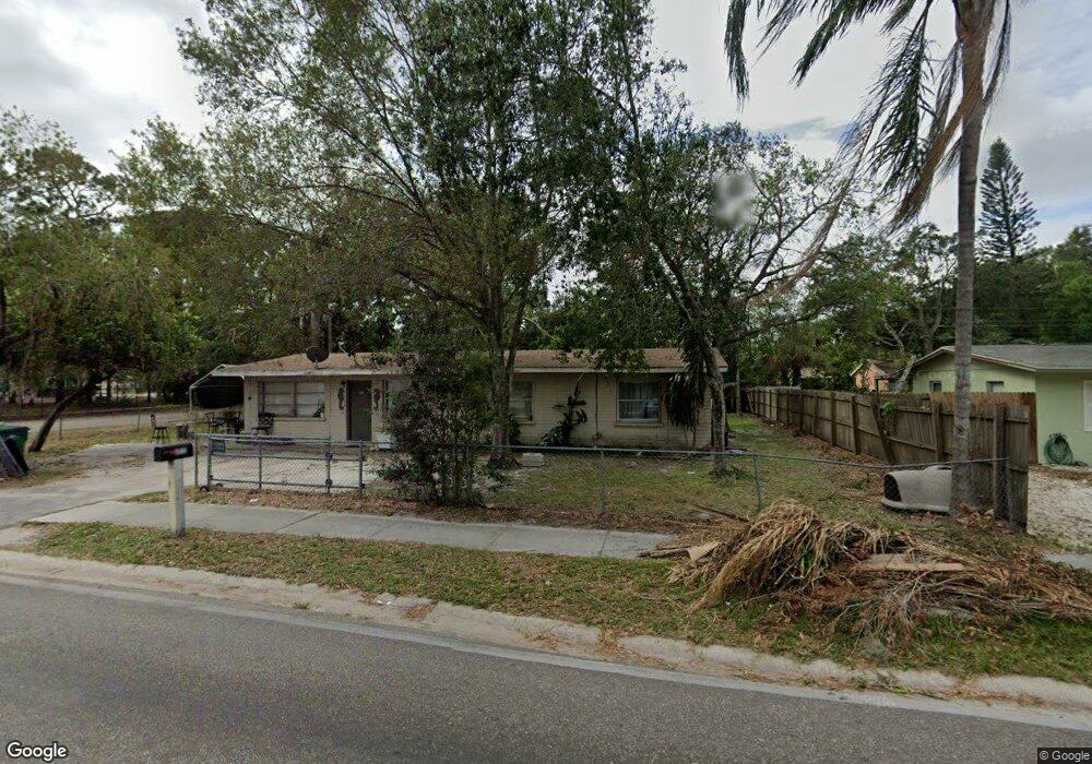
6032 9th St E Bradenton, FL 34203
Oneco NeighborhoodEstimated Value: $274,000 - $344,000
3
Beds
2
Baths
1,940
Sq Ft
$153/Sq Ft
Est. Value
About This Home
This home is located at 6032 9th St E, Bradenton, FL 34203 and is currently estimated at $297,241, approximately $153 per square foot. 6032 9th St E is a home located in Manatee County with nearby schools including Blanche H. Daughtrey Elementary School, W. D. Sugg Middle School, and Bayshore High School.
Ownership History
Date
Name
Owned For
Owner Type
Purchase Details
Closed on
Jan 18, 2024
Sold by
John C Greer Revocable Trust
Bought by
Greer John and Greer John
Current Estimated Value
Purchase Details
Closed on
Nov 13, 1997
Sold by
Brasota Mtg Co Inc
Bought by
Wood Richard W
Purchase Details
Closed on
Nov 12, 1997
Sold by
Trevor Inv Inc
Bought by
Greer John
Create a Home Valuation Report for This Property
The Home Valuation Report is an in-depth analysis detailing your home's value as well as a comparison with similar homes in the area
Home Values in the Area
Average Home Value in this Area
Purchase History
| Date | Buyer | Sale Price | Title Company |
|---|---|---|---|
| Greer John | $100 | None Listed On Document | |
| John C Greer Revocable Trust | $100 | Desjarlais Law & Title | |
| Wood Richard W | -- | -- | |
| Greer John | $25,300 | -- |
Source: Public Records
Tax History
| Year | Tax Paid | Tax Assessment Tax Assessment Total Assessment is a certain percentage of the fair market value that is determined by local assessors to be the total taxable value of land and additions on the property. | Land | Improvement |
|---|---|---|---|---|
| 2025 | $2,290 | $171,254 | $35,700 | $135,554 |
| 2023 | $2,292 | $181,055 | $35,700 | $145,355 |
| 2022 | $2,006 | $148,830 | $35,000 | $113,830 |
| 2021 | $1,636 | $107,842 | $35,000 | $72,842 |
| 2020 | $1,578 | $99,387 | $30,000 | $69,387 |
| 2019 | $1,452 | $89,518 | $20,000 | $69,518 |
| 2018 | $1,385 | $86,984 | $20,000 | $66,984 |
| 2017 | $1,157 | $71,051 | $0 | $0 |
| 2016 | $1,012 | $54,481 | $0 | $0 |
Source: Public Records
Map
Nearby Homes
- 331 Avocado St Unit 73
- 316 Avacado St
- 300 Apricot St
- 304 Apricot St
- 343 Avocado St Unit 85
- 267 Coconut St
- 5801 8th Street Ct E
- 270 Coconut St
- 311 Apricot St
- 256 Coconut St
- 220 Mango St Unit 227
- 280 Coconut St
- 188 Guava Cir Unit 194
- 711 64th Avenue Dr E
- 5723 5th St E
- 215 63rd Dr E
- 5719 5th St E Unit A or B
- 5723 12th St E
- 3 Date Ave
- 722 65th Ave E
Your Personal Tour Guide
Ask me questions while you tour the home.