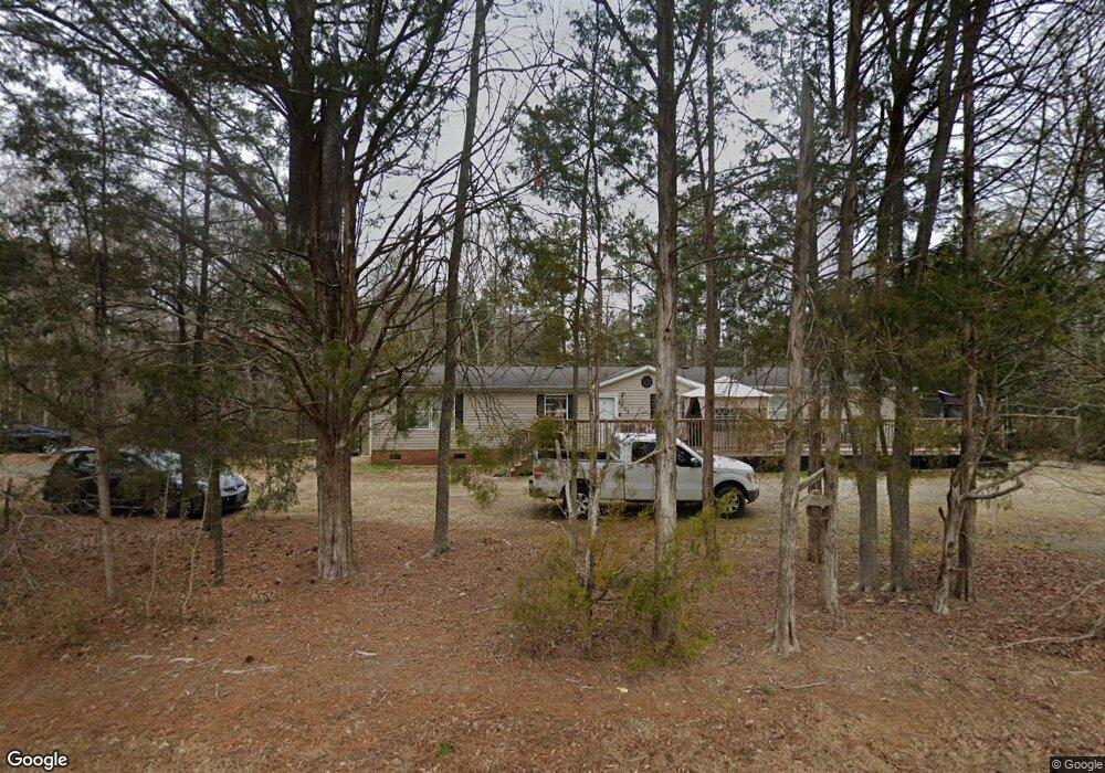
6032 Shirley Rd Unit 153/154 Fort Lawn, SC 29714
Estimated Value: $208,000 - $339,000
--
Bed
2
Baths
2,128
Sq Ft
$130/Sq Ft
Est. Value
About This Home
This home is located at 6032 Shirley Rd Unit 153/154, Fort Lawn, SC 29714 and is currently estimated at $277,430, approximately $130 per square foot. 6032 Shirley Rd Unit 153/154 is a home located in Chester County with nearby schools including Lewisville Elementary School, Lewisville Middle School, and Lewisville High School.
Ownership History
Date
Name
Owned For
Owner Type
Purchase Details
Closed on
Oct 11, 2019
Sold by
Horseshoebend Properties Inc
Bought by
Holloway Linda M and Holloway Daniel R
Current Estimated Value
Home Financials for this Owner
Home Financials are based on the most recent Mortgage that was taken out on this home.
Original Mortgage
$149,246
Outstanding Balance
$130,747
Interest Rate
3.5%
Mortgage Type
Construction
Estimated Equity
$146,683
Purchase Details
Closed on
Jun 16, 2008
Sold by
Rainbow Enterprises
Bought by
M-Survivorship Brunt Lisa
Create a Home Valuation Report for This Property
The Home Valuation Report is an in-depth analysis detailing your home's value as well as a comparison with similar homes in the area
Home Values in the Area
Average Home Value in this Area
Purchase History
| Date | Buyer | Sale Price | Title Company |
|---|---|---|---|
| Holloway Linda M | $152,000 | Attorney Only | |
| M-Survivorship Brunt Lisa | $90,000 | -- |
Source: Public Records
Mortgage History
| Date | Status | Borrower | Loan Amount |
|---|---|---|---|
| Open | Holloway Linda M | $149,246 |
Source: Public Records
Tax History Compared to Growth
Tax History
| Year | Tax Paid | Tax Assessment Tax Assessment Total Assessment is a certain percentage of the fair market value that is determined by local assessors to be the total taxable value of land and additions on the property. | Land | Improvement |
|---|---|---|---|---|
| 2024 | $1,228 | $5,900 | $800 | $5,100 |
| 2023 | $1,228 | $5,900 | $800 | $5,100 |
| 2022 | $1,232 | $5,900 | $800 | $5,100 |
| 2021 | $1,134 | $5,900 | $800 | $5,100 |
| 2020 | $1,260 | $5,900 | $800 | $5,100 |
| 2019 | $2,412 | $5,570 | $940 | $4,630 |
| 2018 | $2,321 | $5,570 | $940 | $4,630 |
| 2017 | $713 | $3,710 | $620 | $3,090 |
| 2015 | -- | $3,710 | $620 | $3,090 |
| 2010 | -- | $3,710 | $620 | $3,090 |
Source: Public Records
Map
Nearby Homes
- 633 Weston Acres Rd
- 000 Cemetery Rd
- 5554 N Hillsdale Dr
- 5550 Hillsdale St
- 000 Hillsdale St
- 00 Hillsdale St
- 5655 Shirley Rd
- 00 Wood St
- 5154 Lancaster Hwy
- 5311 Lancaster Hwy
- 0000 Carabrook Rd
- 00 Busters Landing Rd
- 5573 Main St
- 00 Hightower Rd
- 5624 Pleasant Ave Unit 3
- 00 Oak St
- 1197 Fincher Rd
- 817 Trails End Cir
- 2091 & 2095 Catawba River Rd
- 00 Jackson Rd Unit 86/87/61/62/63
- 6032 Shirley Rd
- 4105 Lanksford Rd
- 6022 Shirley Rd
- 6035 Shirley Rd
- 4103 Lanksford Rd
- 5341 Knollwood Dr
- 4113 Lanksford Rd
- 6039 Shirley Rd
- 6054 Shirley Rd
- 6001 Shirley Rd
- 4079 Lanksford Rd
- 4071 Lanksford Rd
- 6056 Shirley Rd
- 5459 Poverty Hollow Rd
- 5210 Hopkins Rd
- 5995 Shirley Rd
- 5371 Knollwood Dr
- 1 Hopkins Rd
- 4067 Lanksford Rd
- 5362 Knollwood Dr