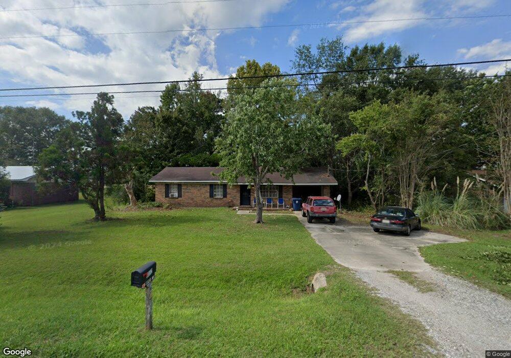
6032 W State Highway 52 Dothan, AL 36305
Estimated Value: $116,000 - $174,000
3
Beds
2
Baths
1,188
Sq Ft
$122/Sq Ft
Est. Value
About This Home
This home is located at 6032 W State Highway 52, Dothan, AL 36305 and is currently estimated at $144,451, approximately $121 per square foot. 6032 W State Highway 52 is a home located in Houston County with nearby schools including Rehobeth Elementary School, Rehobeth Middle School, and Rehobeth High School.
Ownership History
Date
Name
Owned For
Owner Type
Purchase Details
Closed on
Jul 26, 2023
Sold by
Mahone Walter K
Bought by
Spruell Dwayne E
Current Estimated Value
Home Financials for this Owner
Home Financials are based on the most recent Mortgage that was taken out on this home.
Original Mortgage
$65,104
Outstanding Balance
$63,428
Interest Rate
6.81%
Mortgage Type
Construction
Estimated Equity
$81,023
Purchase Details
Closed on
May 9, 2012
Sold by
Bedsole Michael Hugh
Bought by
G & W Llc
Create a Home Valuation Report for This Property
The Home Valuation Report is an in-depth analysis detailing your home's value as well as a comparison with similar homes in the area
Purchase History
| Date | Buyer | Sale Price | Title Company |
|---|---|---|---|
| Spruell Dwayne E | $65,104 | Attorney Only | |
| G & W Llc | $55,000 | -- |
Source: Public Records
Mortgage History
| Date | Status | Borrower | Loan Amount |
|---|---|---|---|
| Open | Spruell Dwayne E | $65,104 |
Source: Public Records
Tax History
| Year | Tax Paid | Tax Assessment Tax Assessment Total Assessment is a certain percentage of the fair market value that is determined by local assessors to be the total taxable value of land and additions on the property. | Land | Improvement |
|---|---|---|---|---|
| 2025 | $334 | $9,980 | $0 | $0 |
| 2024 | $334 | $19,540 | $0 | $0 |
| 2023 | $733 | $18,200 | $0 | $0 |
| 2022 | $592 | $16,280 | $0 | $0 |
| 2021 | $503 | $13,540 | $0 | $0 |
| 2020 | $475 | $12,900 | $0 | $0 |
| 2019 | $434 | $11,720 | $0 | $0 |
| 2018 | $434 | $11,720 | $0 | $0 |
| 2017 | $472 | $12,820 | $0 | $0 |
| 2016 | $470 | $0 | $0 | $0 |
| 2015 | $457 | $0 | $0 | $0 |
| 2014 | $457 | $0 | $0 | $0 |
Source: Public Records
Map
Nearby Homes
- 105 Periwinkle Ct
- 102 Holiday Ct
- 205 Petunia Dr
- 823 Landview Dr
- 901 Landview Dr
- 101 Twilight Dr
- 197 Mayberry Ln
- 15 Venture Dr
- 50.45 Acres Trawick Rd
- 656 Paulk Rd
- 622 Paulk Rd
- 128 Paul Revere Run
- 211 Paul Revere Run
- 0 Hartford Hwy
- 120 Laney Ln
- 124 Laney Ln
- 126 Laney Ln
- 0 Willow Point Lots Unit 210106
- 307 Ameris Ave
- 113 Laney Ln
- 6032 Henry Mouring Rd
- 6014 Alabama 52
- 6014 W State Highway 52
- 6050 W State Highway 52
- 5996 W State Highway 52
- 6070 Henry Mouring Rd
- 6033 Henry Mouring Rd
- 6033 Alabama 52
- 6033 W State Highway 52
- 6051 W State Highway 52
- 6015 W State Highway 52
- 5978 Alabama 52
- 5978 Henry Mouring Rd
- 6071 Henry Mouring Rd
- 0 Alabama 52
- 5978 W State Highway 52
- 6071 W State Highway 52
- 5997 W State Highway 52
- 6087 W State Highway 52
- 100 Pineridge Rd
Your Personal Tour Guide
Ask me questions while you tour the home.