60321 Leslie Ln Joshua Tree, CA 92252
Estimated Value: $211,000 - $270,000
1
Bed
1
Bath
768
Sq Ft
$299/Sq Ft
Est. Value
About This Home
This home is located at 60321 Leslie Ln, Joshua Tree, CA 92252 and is currently estimated at $229,974, approximately $299 per square foot. 60321 Leslie Ln is a home with nearby schools including Yucca Mesa Elementary School, La Contenta Middle School, and Yucca Valley High School.
Ownership History
Date
Name
Owned For
Owner Type
Purchase Details
Closed on
Nov 7, 2014
Sold by
Mcnelly Michael and Mcnelly Margaret G
Bought by
Keller Ryan Kennedy
Current Estimated Value
Home Financials for this Owner
Home Financials are based on the most recent Mortgage that was taken out on this home.
Original Mortgage
$15,000
Outstanding Balance
$11,533
Interest Rate
4.1%
Mortgage Type
Seller Take Back
Estimated Equity
$218,441
Purchase Details
Closed on
Jan 16, 2002
Sold by
Mcnelly Michael S and Mcnelly Margaret G
Bought by
Mcnelly Michael and Mcnelly Margaret G
Create a Home Valuation Report for This Property
The Home Valuation Report is an in-depth analysis detailing your home's value as well as a comparison with similar homes in the area
Home Values in the Area
Average Home Value in this Area
Purchase History
| Date | Buyer | Sale Price | Title Company |
|---|---|---|---|
| Keller Ryan Kennedy | $40,000 | Fidelity National Title Co | |
| Mcnelly Michael | -- | -- |
Source: Public Records
Mortgage History
| Date | Status | Borrower | Loan Amount |
|---|---|---|---|
| Open | Keller Ryan Kennedy | $15,000 |
Source: Public Records
Tax History Compared to Growth
Tax History
| Year | Tax Paid | Tax Assessment Tax Assessment Total Assessment is a certain percentage of the fair market value that is determined by local assessors to be the total taxable value of land and additions on the property. | Land | Improvement |
|---|---|---|---|---|
| 2025 | $1,026 | $42,066 | $12,019 | $30,047 |
| 2024 | $1,026 | $41,241 | $11,783 | $29,458 |
| 2023 | $1,013 | $40,432 | $11,552 | $28,880 |
| 2022 | $998 | $39,639 | $11,325 | $28,314 |
| 2021 | $988 | $38,862 | $11,103 | $27,759 |
| 2020 | $981 | $38,463 | $10,989 | $27,474 |
| 2019 | $1,007 | $37,709 | $10,774 | $26,935 |
| 2018 | $844 | $36,970 | $10,563 | $26,407 |
| 2017 | $839 | $36,245 | $10,356 | $25,889 |
| 2016 | $831 | $35,534 | $10,153 | $25,381 |
| 2015 | $707 | $26,087 | $6,522 | $19,565 |
| 2014 | $710 | $25,576 | $6,394 | $19,182 |
Source: Public Records
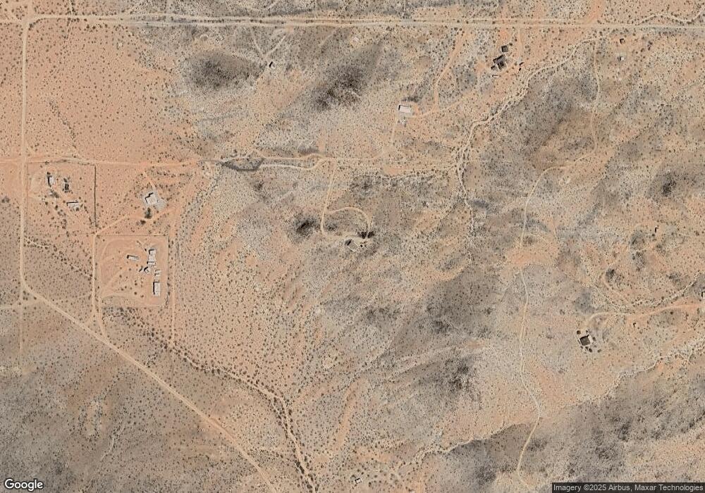
Map
Nearby Homes
- 0 Patrick Way Unit WS23203577
- 60150 Patrick Way
- 60150 Sharp Terrace Dr
- 60707 Sonora Rd
- 0 Bowman Unit 32502447
- 0 Millie Ln Unit 24-350893
- 1500 Sunny Vista Rd
- 1500 Sunny Vista Rd
- 59727 Sharp Terrace Dr
- 60024 La Brisa Dr
- 1495 Alta Ave
- 1 Belfair Dr
- 60785 La Brisa Dr
- 2325 Celeste
- 60376 Tacoma Ct
- 59525 La Crescenta Dr
- 60010 Darlinda Dr
- 0 Winters Rd Unit IV25062663
- 0 Celeste Rd Unit 219134341DA
- 61474 Jarazzo Rd
- 0 Leslie Ln Unit JT18000202
- 0 Leslie Ln Unit 41417846
- 60279 Sonora Rd
- 60152 Starlight Ln
- 60151 Leslie Ln
- 60140 Starlight Ln
- 60433 Sonora Rd
- 60473 Starlight
- 60473 Starlight
- 60473 Starlight
- 0 Millie Ln Unit DC21125981
- 0 Millie Ln Unit DC21130543
- 0 Millie Ln Unit 18358190PS
- 0 Millie Ln Unit 21322504DA
- 0 Millie Ln Unit 18358190DA
- 0 Mason Dixon Rd Unit JT18020501
- 0 Mason Dixon Rd Unit DC12101720
- 0 Mason Dixon Rd Unit SW15075158
- 0 Mason Dixon Rd Unit SW16064901
- 0 Mason Dixon Rd Unit 13-655829PS