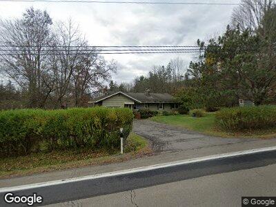
6033 State Route 79 Chenango Forks, NY 13746
Estimated Value: $157,000 - $351,000
3
Beds
1
Bath
1,287
Sq Ft
$183/Sq Ft
Est. Value
About This Home
This home is located at 6033 State Route 79, Chenango Forks, NY 13746 and is currently estimated at $235,994, approximately $183 per square foot. 6033 State Route 79 is a home located in Broome County with nearby schools including Chenango Forks Elementary School, Chenango Forks Middle School, and Chenango Forks High School.
Ownership History
Date
Name
Owned For
Owner Type
Purchase Details
Closed on
Aug 12, 2019
Sold by
Sommer Karen M
Bought by
Tompkins Kellie M
Current Estimated Value
Home Financials for this Owner
Home Financials are based on the most recent Mortgage that was taken out on this home.
Original Mortgage
$173,850
Outstanding Balance
$153,899
Interest Rate
3.7%
Mortgage Type
New Conventional
Estimated Equity
$82,095
Create a Home Valuation Report for This Property
The Home Valuation Report is an in-depth analysis detailing your home's value as well as a comparison with similar homes in the area
Home Values in the Area
Average Home Value in this Area
Purchase History
| Date | Buyer | Sale Price | Title Company |
|---|---|---|---|
| Tompkins Kellie M | $183,000 | None Available |
Source: Public Records
Mortgage History
| Date | Status | Borrower | Loan Amount |
|---|---|---|---|
| Open | Tompkins Kellie M | $173,850 | |
| Previous Owner | Sommer Karen M | $43,900 |
Source: Public Records
Tax History Compared to Growth
Tax History
| Year | Tax Paid | Tax Assessment Tax Assessment Total Assessment is a certain percentage of the fair market value that is determined by local assessors to be the total taxable value of land and additions on the property. | Land | Improvement |
|---|---|---|---|---|
| 2024 | $4,143 | $75,000 | $16,200 | $58,800 |
| 2023 | $3,938 | $75,000 | $16,200 | $58,800 |
| 2022 | $3,935 | $75,000 | $16,200 | $58,800 |
| 2021 | $3,951 | $75,000 | $16,200 | $58,800 |
| 2020 | $3,842 | $75,000 | $16,200 | $58,800 |
| 2019 | -- | $75,000 | $16,200 | $58,800 |
| 2018 | $2,561 | $75,000 | $16,200 | $58,800 |
| 2017 | $2,552 | $75,000 | $16,200 | $58,800 |
| 2016 | $2,480 | $75,000 | $16,200 | $58,800 |
| 2015 | -- | $75,000 | $16,200 | $58,800 |
| 2014 | -- | $75,000 | $16,200 | $58,800 |
Source: Public Records
Map
Nearby Homes
- 154 Hotchkiss Rd
- 6633 State Route 79
- 177 Johnson Rd
- 373 Bear Swamp Rd
- 391 Conklin Hill Rd
- 430 Conklin Hill Rd
- 21 Deborah Dr
- 91 Tunnel 75 Cr 221 Rd
- 10 Terrace Ave
- 1404 River Rd
- 1429 River Rd
- 1437 River Rd
- 577 Foster Hill Rd
- 339 Port Rd
- 193 Fenner Hill Rd
- 87 Pamela Dr
- 13 Warner Rd
- 371 Hunt Hill Rd
- 16 Richard Rd
- 193 County Road 2