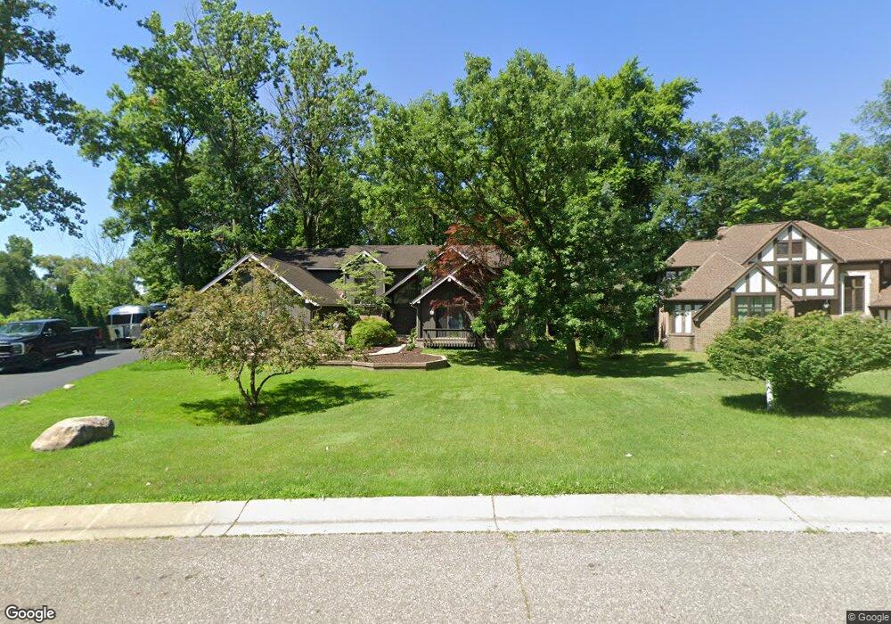
6034 Dunmore Dr Unit Bldg-Unit West Bloomfield, MI 48322
Estimated Value: $590,000 - $741,000
4
Beds
4
Baths
3,502
Sq Ft
$185/Sq Ft
Est. Value
About This Home
This home is located at 6034 Dunmore Dr Unit Bldg-Unit, West Bloomfield, MI 48322 and is currently estimated at $646,607, approximately $184 per square foot. 6034 Dunmore Dr Unit Bldg-Unit is a home located in Oakland County with nearby schools including Sheiko Elementary School, West Bloomfield Middle School, and Bloomfield Maples Montessori.
Ownership History
Date
Name
Owned For
Owner Type
Purchase Details
Closed on
Jul 14, 2023
Sold by
Shubow Robert and Shubow Regina E
Bought by
Olsson Ryan
Current Estimated Value
Purchase Details
Closed on
Jun 4, 2018
Sold by
Keena Daniel T and Shamraj Ina
Bought by
Shubow Robert and Shubow Regina E
Home Financials for this Owner
Home Financials are based on the most recent Mortgage that was taken out on this home.
Original Mortgage
$384,750
Interest Rate
4.5%
Mortgage Type
New Conventional
Purchase Details
Closed on
Jun 8, 2006
Sold by
Pianin Michael and Pianin Barbara
Bought by
Keena Daniel T and Shamraj Ina
Home Financials for this Owner
Home Financials are based on the most recent Mortgage that was taken out on this home.
Original Mortgage
$388,800
Interest Rate
6.68%
Mortgage Type
Purchase Money Mortgage
Create a Home Valuation Report for This Property
The Home Valuation Report is an in-depth analysis detailing your home's value as well as a comparison with similar homes in the area
Home Values in the Area
Average Home Value in this Area
Purchase History
| Date | Buyer | Sale Price | Title Company |
|---|---|---|---|
| Olsson Ryan | $590,000 | Devon Title | |
| Shubow Robert | $405,000 | Bell Title Agency | |
| Keena Daniel T | $432,000 | None Available |
Source: Public Records
Mortgage History
| Date | Status | Borrower | Loan Amount |
|---|---|---|---|
| Previous Owner | Shubow Robert | $384,750 | |
| Previous Owner | Keena Daniel T | $388,800 |
Source: Public Records
Tax History Compared to Growth
Tax History
| Year | Tax Paid | Tax Assessment Tax Assessment Total Assessment is a certain percentage of the fair market value that is determined by local assessors to be the total taxable value of land and additions on the property. | Land | Improvement |
|---|---|---|---|---|
| 2024 | $10,559 | $259,620 | $0 | $0 |
| 2022 | $5,123 | $207,000 | $33,280 | $173,720 |
| 2021 | $7,791 | $210,210 | $0 | $0 |
| 2020 | $5,024 | $203,300 | $33,280 | $170,020 |
| 2018 | $6,288 | $186,370 | $16,640 | $169,730 |
| 2015 | -- | $184,220 | $0 | $0 |
| 2014 | -- | $168,630 | $0 | $0 |
| 2011 | -- | $141,500 | $0 | $0 |
Source: Public Records
Map
Nearby Homes
- 6067 Charles Dr
- 5016 Patrick Rd
- 5023 Meadowbrook Dr
- 5946 Cherry Crest Dr
- 5710 Hobnail Cir
- 5015 Langlewood Dr
- 4185 Pinehurst Ct
- 4800 Faircourt Dr
- 6323 Potomac Cir Unit 22
- 5120 Langlewood Ct
- 6322 Pepper Hill St Unit 62
- 6222 Pepper Hill St
- 4161 Breckenridge Dr
- 5106 Rock Run
- 5216 Brett Ct Unit 53
- 5353 Wright Way W
- 6109 Orchard Lake Rd Unit 101
- 6145 Orchard Lake Rd Unit 204
- 6614 Embers Ct
- 6621 Bellows Ct Unit 62
- 6034 Dunmore Dr
- 6020 Dunmore Dr
- 6048 Dunmore Dr
- 6041 Dunmore Dr
- 4623 Patrick Rd
- 6062 Dunmore Dr
- 4549 Patrick Rd
- 5990 Charles Dr
- 4645 Patrick Rd
- 6051 Pickwood Dr
- 6076 Dunmore Dr
- 4521 Patrick Rd
- 6000 Charles Dr
- 4667 Patrick Rd
- 6090 Dunmore Dr
- 6057 Pickwood Dr
- 4720 Bonnie Ct
- 4626 Patrick Rd
- 4489 Patrick Rd
- 4689 Patrick Rd