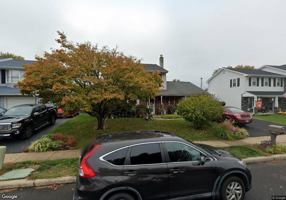
6034 Michael Dr Bensalem, PA 19020
Neshaminy Valley NeighborhoodEstimated Value: $406,256 - $467,000
3
Beds
2
Baths
1,319
Sq Ft
$329/Sq Ft
Est. Value
About This Home
This home is located at 6034 Michael Dr, Bensalem, PA 19020 and is currently estimated at $434,564, approximately $329 per square foot. 6034 Michael Dr is a home located in Bucks County with nearby schools including Valley Elementary School, St. Ephrem School, and Bensalem Baptist School.
Ownership History
Date
Name
Owned For
Owner Type
Purchase Details
Closed on
Aug 18, 2017
Sold by
Lasky Barry M
Bought by
Lasky Barry M and Lasky Miriam C
Current Estimated Value
Home Financials for this Owner
Home Financials are based on the most recent Mortgage that was taken out on this home.
Original Mortgage
$405,000
Outstanding Balance
$342,485
Interest Rate
4.47%
Mortgage Type
Reverse Mortgage Home Equity Conversion Mortgage
Estimated Equity
$92,079
Purchase Details
Closed on
Feb 5, 1996
Sold by
Lasky Barry M and Lasky Kathleen M
Bought by
Lasky Barry M
Purchase Details
Closed on
Nov 27, 1989
Bought by
Lasky Barry M and Lasky Kathleen M
Create a Home Valuation Report for This Property
The Home Valuation Report is an in-depth analysis detailing your home's value as well as a comparison with similar homes in the area
Home Values in the Area
Average Home Value in this Area
Purchase History
| Date | Buyer | Sale Price | Title Company |
|---|---|---|---|
| Lasky Barry M | -- | Title Services | |
| Lasky Barry M | -- | -- | |
| Lasky Barry M | $125,900 | -- |
Source: Public Records
Mortgage History
| Date | Status | Borrower | Loan Amount |
|---|---|---|---|
| Open | Lasky Barry M | $405,000 |
Source: Public Records
Tax History Compared to Growth
Tax History
| Year | Tax Paid | Tax Assessment Tax Assessment Total Assessment is a certain percentage of the fair market value that is determined by local assessors to be the total taxable value of land and additions on the property. | Land | Improvement |
|---|---|---|---|---|
| 2025 | $5,030 | $23,040 | $5,920 | $17,120 |
| 2024 | $5,030 | $23,040 | $5,920 | $17,120 |
| 2023 | $4,888 | $23,040 | $5,920 | $17,120 |
| 2022 | $4,859 | $23,040 | $5,920 | $17,120 |
| 2021 | $4,859 | $23,040 | $5,920 | $17,120 |
| 2020 | $4,810 | $23,040 | $5,920 | $17,120 |
| 2019 | $4,703 | $23,040 | $5,920 | $17,120 |
| 2018 | $4,594 | $23,040 | $5,920 | $17,120 |
| 2017 | $4,565 | $23,040 | $5,920 | $17,120 |
| 2016 | $4,565 | $23,040 | $5,920 | $17,120 |
| 2015 | -- | $23,040 | $5,920 | $17,120 |
| 2014 | -- | $23,040 | $5,920 | $17,120 |
Source: Public Records
Map
Nearby Homes
- 1407 Cornflower Ln
- 1838 Sheri Rd
- 5813 Edge Ave
- 6124 Clearview Ave
- 6130 Clearview Ave
- 5817 Cricket Ln
- 1734 Gibson Rd Unit 1
- 524 Washington Ave
- 1790 Gibson Rd Unit 69
- 301 Main St
- 1852 Gibson Rd Unit 58
- 2493 Barnsleigh Dr
- 2548 Nashua Rd
- 1446 Gibson Rd Unit D50
- 1446 Gibson Rd Unit B4
- 1446 Gibson Rd
- L:003 Newportville Rd
- 3200 Ellington Ct
- 927 Bellevue Ave
- 66 Freedom Ln Unit 66
- 6026 Michael Dr
- 6042 Michael Dr
- 5918 Mimi Cir
- 6018 Michael Dr
- 6050 Michael Dr
- 6025 Michael Dr
- 6033 Michael Dr
- 6008 Michael Dr
- 5926 Mimi Cir
- 6058 Michael Dr
- 6041 Michael Dr
- 6017 Michael Dr
- 6049 Michael Dr
- 6066 Michael Dr
- 6057 Michael Dr
- 6009 Michael Dr
- 5988 Mark Dr
- 6065 Michael Dr
- 6031 Edge Ave
- 6039 Edge Ave