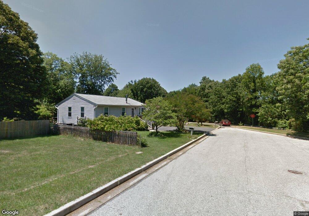
6039 Baltimore St Gwynn Oak, MD 21207
Estimated Value: $274,000 - $371,570
--
Bed
2
Baths
1,120
Sq Ft
$292/Sq Ft
Est. Value
About This Home
This home is located at 6039 Baltimore St, Gwynn Oak, MD 21207 and is currently estimated at $327,393, approximately $292 per square foot. 6039 Baltimore St is a home located in Baltimore County with nearby schools including Edmondson Heights Elementary School, Southwest Academy, and Woodlawn High School.
Ownership History
Date
Name
Owned For
Owner Type
Purchase Details
Closed on
Nov 16, 2004
Sold by
Lane Phillip Lane Elaine
Bought by
Lane Phillip and Lane Elaine
Current Estimated Value
Purchase Details
Closed on
Nov 15, 2004
Sold by
Lane Phillip Lane Elaine
Bought by
Lane Phillip and Lane Elaine
Purchase Details
Closed on
Dec 15, 1999
Sold by
Williams Keith
Bought by
Secretary Of Veterans Affairs
Purchase Details
Closed on
Mar 7, 1997
Sold by
Ritz Steven M
Bought by
Williams Keith
Create a Home Valuation Report for This Property
The Home Valuation Report is an in-depth analysis detailing your home's value as well as a comparison with similar homes in the area
Home Values in the Area
Average Home Value in this Area
Purchase History
| Date | Buyer | Sale Price | Title Company |
|---|---|---|---|
| Lane Phillip | -- | -- | |
| Lane Phillip | -- | -- | |
| Secretary Of Veterans Affairs | $87,547 | -- | |
| Williams Keith | $113,500 | -- |
Source: Public Records
Tax History Compared to Growth
Tax History
| Year | Tax Paid | Tax Assessment Tax Assessment Total Assessment is a certain percentage of the fair market value that is determined by local assessors to be the total taxable value of land and additions on the property. | Land | Improvement |
|---|---|---|---|---|
| 2025 | $3,846 | $270,633 | -- | -- |
| 2024 | $3,846 | $259,900 | $70,300 | $189,600 |
| 2023 | $1,826 | $241,233 | $0 | $0 |
| 2022 | $3,490 | $222,567 | $0 | $0 |
| 2021 | $3,322 | $203,900 | $70,300 | $133,600 |
| 2020 | $3,322 | $198,367 | $0 | $0 |
| 2019 | $3,270 | $192,833 | $0 | $0 |
| 2018 | $3,260 | $187,300 | $68,300 | $119,000 |
| 2017 | $3,054 | $179,567 | $0 | $0 |
| 2016 | $2,570 | $171,833 | $0 | $0 |
| 2015 | $2,570 | $164,100 | $0 | $0 |
| 2014 | $2,570 | $164,100 | $0 | $0 |
Source: Public Records
Map
Nearby Homes
- 6041 Cecil Ave
- 5936 Sunset Ave
- 5922 Baltimore St
- 5904 Cecil Ave
- 5901 Sunset Ave
- 1124 Brigadoon Trail
- 1228 Harwall Rd
- 5902 Prince George St
- 1405 Ingleside Ave
- 1109 Marksworth Rd
- 1427 Barrett Rd
- 5911 Carroll St
- 1428 Clairidge Rd
- 1525 Clairidge Rd
- 1529 Clairidge Rd
- 1204 Wilson Ave
- 1120 Ingleside Ave
- 0 Dogwood Rd
- 1603 N Forest Park Ave
- 1191 Granville Rd
- 6037 Baltimore St
- 6038 Cecil Ave
- 6040 Cecil Ave
- 6035 Baltimore St
- 6036 Cecil Ave
- 6042 Cecil Ave
- 6034 Cecil Ave
- 6036 Baltimore St
- 6044 Cecil Ave
- 1422 Lafayette Ave
- 6046 Cecil Ave
- 1422 Lafayette Ave
- 1420 Lafayette Ave
- 6034 Baltimore St
- 1418 Lafayette Ave
- 6039 Cecil Ave
- 6030 Cecil Ave
- 6037 Cecil Ave
- 6045 Cecil Ave
- 6045 Cecil Ave Unit A