604 Covered Bridge Ln Doylestown, PA 18901
Estimated Value: $845,000 - $914,000
5
Beds
3
Baths
3,456
Sq Ft
$257/Sq Ft
Est. Value
About This Home
This home is located at 604 Covered Bridge Ln, Doylestown, PA 18901 and is currently estimated at $889,455, approximately $257 per square foot. 604 Covered Bridge Ln is a home located in Bucks County with nearby schools including Pine Run Elementary School, Tohickon Middle School, and Central Bucks High School-West.
Ownership History
Date
Name
Owned For
Owner Type
Purchase Details
Closed on
Oct 18, 2011
Sold by
Archer John
Bought by
Jubilee Anthony and Frazier Sandra
Current Estimated Value
Home Financials for this Owner
Home Financials are based on the most recent Mortgage that was taken out on this home.
Original Mortgage
$157,260
Outstanding Balance
$107,309
Interest Rate
4.11%
Mortgage Type
New Conventional
Estimated Equity
$782,146
Purchase Details
Closed on
Oct 16, 1996
Sold by
Hagan Development Corp
Bought by
Conboy Thomas J and Conboy Patricia L
Home Financials for this Owner
Home Financials are based on the most recent Mortgage that was taken out on this home.
Original Mortgage
$230,000
Interest Rate
7.87%
Create a Home Valuation Report for This Property
The Home Valuation Report is an in-depth analysis detailing your home's value as well as a comparison with similar homes in the area
Home Values in the Area
Average Home Value in this Area
Purchase History
| Date | Buyer | Sale Price | Title Company |
|---|---|---|---|
| Jubilee Anthony | $48,000 | None Available | |
| Conboy Thomas J | $259,900 | -- |
Source: Public Records
Mortgage History
| Date | Status | Borrower | Loan Amount |
|---|---|---|---|
| Open | Jubilee Anthony | $157,260 | |
| Previous Owner | Conboy Thomas J | $230,000 |
Source: Public Records
Tax History Compared to Growth
Tax History
| Year | Tax Paid | Tax Assessment Tax Assessment Total Assessment is a certain percentage of the fair market value that is determined by local assessors to be the total taxable value of land and additions on the property. | Land | Improvement |
|---|---|---|---|---|
| 2025 | $9,216 | $52,080 | $7,240 | $44,840 |
| 2024 | $9,216 | $52,080 | $7,240 | $44,840 |
| 2023 | $8,788 | $52,080 | $7,240 | $44,840 |
| 2022 | $8,690 | $52,080 | $7,240 | $44,840 |
| 2021 | $8,511 | $52,080 | $7,240 | $44,840 |
| 2020 | $8,472 | $52,080 | $7,240 | $44,840 |
| 2019 | $8,381 | $52,080 | $7,240 | $44,840 |
| 2018 | $8,355 | $52,080 | $7,240 | $44,840 |
| 2017 | $8,290 | $52,080 | $7,240 | $44,840 |
| 2016 | $8,238 | $52,080 | $7,240 | $44,840 |
| 2015 | -- | $52,080 | $7,240 | $44,840 |
| 2014 | -- | $52,080 | $7,240 | $44,840 |
Source: Public Records
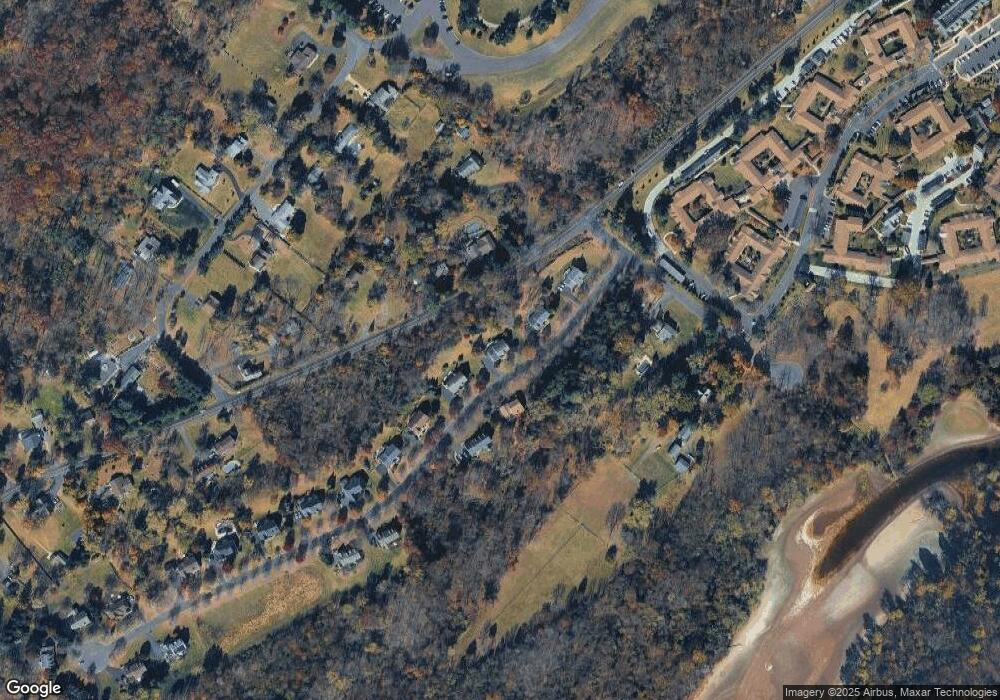
Map
Nearby Homes
- 24 Old Limekiln Rd
- 157 Pine Run Rd
- 60 Cedar Dr
- 200 N Shady Retreat Rd
- 84 Iron Hill Rd
- 158 W Butler Ave
- 218 Vaux Dr
- 250 Wooded Dr
- 121 Conestoga Dr
- 62 Constitution Ave
- 197 Spring Ln
- 4 Old Colonial Dr Unit 254
- 1 Gatehouse Ln
- 432 Ford Hook Rd
- 450 Ford Hook Rd
- 422 Fordhook Rd
- 315 Old Limekiln Lot 3 Rd
- 34 Warren Dr Unit 16
- 30 Warren Dr Unit 14
- 60 Becker Dr Unit 27
- 602 Covered Bridge Ln
- 606 Covered Bridge Ln
- 516 Ferry Rd
- 605 Covered Bridge Ln
- 522 Ferry Rd
- 607 Covered Bridge Ln
- 600 Covered Bridge Ln
- 510 Ferry Rd
- 610 Covered Bridge Ln
- 600 Iron Hill Rd
- 530 Ferry Rd
- 612 Covered Bridge Ln
- 650 Iron Hill Rd
- 611 Covered Bridge Ln
- 37 Layle Ln
- 614 Covered Bridge Ln
- 5 Layle Ln
- 33 Layle Ln
- 25 Layle Ln
- 43 Layle Ln