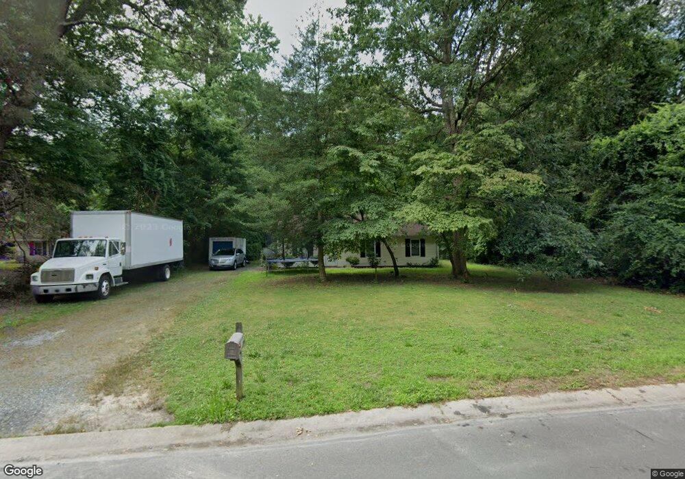
604 Dawn Ct Salisbury, MD 21801
North Salisbury NeighborhoodEstimated Value: $150,000 - $255,000
Studio
1
Bath
1,040
Sq Ft
$181/Sq Ft
Est. Value
About This Home
This home is located at 604 Dawn Ct, Salisbury, MD 21801 and is currently estimated at $188,548, approximately $181 per square foot. 604 Dawn Ct is a home located in Wicomico County with nearby schools including West Salisbury Elementary School, North Salisbury Elementary School, and Salisbury Middle School.
Ownership History
Date
Name
Owned For
Owner Type
Purchase Details
Closed on
May 25, 2005
Sold by
Habitat For Humanity Of Wicomico
Bought by
White Sharri Y
Current Estimated Value
Purchase Details
Closed on
Apr 13, 2005
Sold by
Gunther Velva
Bought by
Habitat For Humanity Of Wicomico and County Inc
Purchase Details
Closed on
Feb 19, 2002
Sold by
Habitat On Marylands
Bought by
Gunther Velva
Create a Home Valuation Report for This Property
The Home Valuation Report is an in-depth analysis detailing your home's value as well as a comparison with similar homes in the area
Home Values in the Area
Average Home Value in this Area
Purchase History
| Date | Buyer | Sale Price | Title Company |
|---|---|---|---|
| White Sharri Y | $60,000 | -- | |
| Habitat For Humanity Of Wicomico | $60,000 | -- | |
| Gunther Velva | $59,600 | -- |
Source: Public Records
Mortgage History
| Date | Status | Borrower | Loan Amount |
|---|---|---|---|
| Closed | Gunther Velva | -- |
Source: Public Records
Tax History
| Year | Tax Paid | Tax Assessment Tax Assessment Total Assessment is a certain percentage of the fair market value that is determined by local assessors to be the total taxable value of land and additions on the property. | Land | Improvement |
|---|---|---|---|---|
| 2025 | $1,253 | $124,133 | $0 | $0 |
| 2024 | $1,223 | $115,567 | $0 | $0 |
| 2023 | $1,167 | $107,000 | $25,800 | $81,200 |
| 2022 | $1,155 | $102,633 | $0 | $0 |
| 2021 | $1,077 | $98,267 | $0 | $0 |
| 2020 | $1,077 | $93,900 | $25,800 | $68,100 |
| 2019 | $1,080 | $92,833 | $0 | $0 |
| 2018 | $1,065 | $91,767 | $0 | $0 |
| 2017 | $1,069 | $90,700 | $0 | $0 |
| 2016 | -- | $89,767 | $0 | $0 |
| 2015 | $1,145 | $88,833 | $0 | $0 |
| 2014 | $1,145 | $87,900 | $0 | $0 |
Source: Public Records
Map
Nearby Homes
- 667 Cook Dr
- 1707 West Rd
- 7877 Dublin Rd
- 7925 Naas Rd
- 516 Purnell St
- 7860 Bennett Park Dr
- 426 Dorsey Ln
- 1817 Ocean Shore Ln
- 1712 Severn St
- 1505 Jersey Rd
- 907 Marquis Ave
- Lot D5 International Dr
- Lot C2 International Dr
- 28600 Naylor Mill Rd
- 516 Overbrook Dr
- 827 Marquis Ave
- 0 Queen Ave Unit MDWC2006982
- 813 Marquis Ave
- Lot B6 Westwood Dr
- Lot B7 Westwood Dr
Your Personal Tour Guide
Ask me questions while you tour the home.