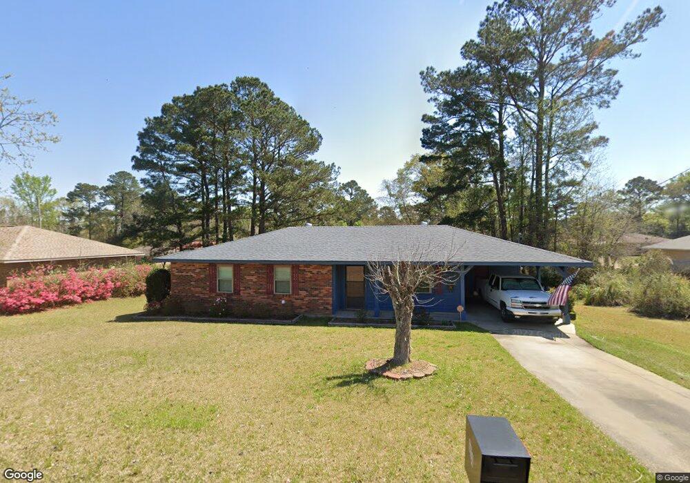
604 Maxine Ave McComb, MS 39648
Estimated Value: $101,772 - $143,000
3
Beds
2
Baths
1,250
Sq Ft
$104/Sq Ft
Est. Value
About This Home
This home is located at 604 Maxine Ave, McComb, MS 39648 and is currently estimated at $129,693, approximately $103 per square foot. 604 Maxine Ave is a home located in Pike County with nearby schools including Otken Elementary School, Higgins Middle School, and Denman Junior High School.
Ownership History
Date
Name
Owned For
Owner Type
Purchase Details
Closed on
Jan 20, 2012
Sold by
Gambino Rosemary Catherine
Bought by
Karst Lawrence Gerard
Current Estimated Value
Purchase Details
Closed on
Oct 10, 2008
Sold by
Huffer Gary R and Huffer Catherine
Bought by
Karst Lawrence and Gambino Rosemary
Home Financials for this Owner
Home Financials are based on the most recent Mortgage that was taken out on this home.
Original Mortgage
$99,910
Interest Rate
6.34%
Mortgage Type
New Conventional
Create a Home Valuation Report for This Property
The Home Valuation Report is an in-depth analysis detailing your home's value as well as a comparison with similar homes in the area
Purchase History
| Date | Buyer | Sale Price | Title Company |
|---|---|---|---|
| Karst Lawrence Gerard | -- | None Available | |
| Gambino Rosemary | -- | None Available | |
| Karst Lawrence | -- | Luckett Land Title Inc |
Source: Public Records
Mortgage History
| Date | Status | Borrower | Loan Amount |
|---|---|---|---|
| Previous Owner | Karst Lawrence | $99,910 |
Source: Public Records
Tax History
| Year | Tax Paid | Tax Assessment Tax Assessment Total Assessment is a certain percentage of the fair market value that is determined by local assessors to be the total taxable value of land and additions on the property. | Land | Improvement |
|---|---|---|---|---|
| 2025 | -- | $7,482 | $0 | $0 |
| 2024 | $904 | $6,539 | $0 | $0 |
| 2023 | $891 | $6,539 | $0 | $0 |
| 2022 | $874 | $6,539 | $0 | $0 |
| 2021 | $871 | $6,539 | $0 | $0 |
| 2020 | $897 | $6,720 | $0 | $0 |
| 2019 | $846 | $6,720 | $0 | $0 |
| 2018 | $813 | $6,720 | $0 | $0 |
| 2017 | $820 | $6,720 | $0 | $0 |
| 2016 | $812 | $6,720 | $0 | $0 |
| 2015 | $788 | $6,560 | $0 | $0 |
| 2014 | $788 | $6,560 | $0 | $0 |
| 2013 | -- | $6,560 | $0 | $0 |
Source: Public Records
Map
Nearby Homes
- 912 Laird St
- 1005 Northwest Ave
- 1600 Christine Dr
- 515 Lakeview Ave
- 510 Lakeview Ave
- 917 North St
- 427 Lakeview Ave
- 0000 Mississippi 570
- 1004 Hickory Ave
- 213 Harmony St
- 1018 Park St
- 000 Rawls & White St
- 111 Cedar Ridge Rd
- 212 Harmony St
- 900 N James Ave
- 000 Pike Point Place
- 804 North St
- 402 Laurel St
- 0 Llewellyn Ave
- 406 Aston Ave
- 606 Maxine Ave
- 1143 Laird St and White St
- 1404 Lund St
- 607 Maxine Ave
- 1141 Laird St
- 1143 Laird St
- 603 Maxine Ave
- 610 Maxine Ave
- 609 Maxine Ave
- 601 Maxine Ave
- 1402 Lund St
- 1140 Laird St
- 703 Lakeview Ave
- 527 Hillcrest Ave
- 612 Maxine Ave
- 516 Maxine Ave
- 607 Lakeview Ave
- 1136 Laird St
- 603 Lakeview Ave
- 605 Lakeview Ave
Your Personal Tour Guide
Ask me questions while you tour the home.