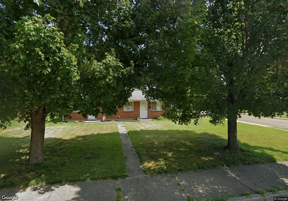
604 N Poplar St Unit 2 Dayton, OH 45449
Estimated Value: $156,000 - $195,000
--
Bed
2
Baths
1,276
Sq Ft
$136/Sq Ft
Est. Value
About This Home
This home is located at 604 N Poplar St Unit 2, Dayton, OH 45449 and is currently estimated at $172,966, approximately $135 per square foot. 604 N Poplar St Unit 2 is a home located in Montgomery County with nearby schools including West Carrollton High School, Miami Valley Academies, and Bethel Baptist School.
Ownership History
Date
Name
Owned For
Owner Type
Purchase Details
Closed on
Jul 15, 2008
Sold by
Smith Cora
Bought by
Houseman Mark and Houseman Barbara
Current Estimated Value
Home Financials for this Owner
Home Financials are based on the most recent Mortgage that was taken out on this home.
Original Mortgage
$65,600
Outstanding Balance
$42,492
Interest Rate
6.15%
Mortgage Type
Purchase Money Mortgage
Estimated Equity
$130,474
Purchase Details
Closed on
Jul 18, 2007
Sold by
Estate Of Jewell Cox
Bought by
Smith Cora
Create a Home Valuation Report for This Property
The Home Valuation Report is an in-depth analysis detailing your home's value as well as a comparison with similar homes in the area
Home Values in the Area
Average Home Value in this Area
Purchase History
| Date | Buyer | Sale Price | Title Company |
|---|---|---|---|
| Houseman Mark | $82,000 | Attorney | |
| Smith Cora | -- | None Available |
Source: Public Records
Mortgage History
| Date | Status | Borrower | Loan Amount |
|---|---|---|---|
| Open | Houseman Mark | $65,600 |
Source: Public Records
Tax History Compared to Growth
Tax History
| Year | Tax Paid | Tax Assessment Tax Assessment Total Assessment is a certain percentage of the fair market value that is determined by local assessors to be the total taxable value of land and additions on the property. | Land | Improvement |
|---|---|---|---|---|
| 2024 | $2,640 | $39,460 | $6,360 | $33,100 |
| 2023 | $2,640 | $39,460 | $6,360 | $33,100 |
| 2022 | $2,515 | $29,450 | $4,750 | $24,700 |
| 2021 | $2,519 | $29,450 | $4,750 | $24,700 |
| 2020 | $2,518 | $29,450 | $4,750 | $24,700 |
| 2019 | $2,037 | $21,460 | $3,950 | $17,510 |
| 2018 | $1,922 | $21,460 | $3,950 | $17,510 |
| 2017 | $1,911 | $21,460 | $3,950 | $17,510 |
| 2016 | $1,984 | $22,180 | $3,950 | $18,230 |
| 2015 | $1,821 | $22,180 | $3,950 | $18,230 |
| 2014 | $1,821 | $22,180 | $3,950 | $18,230 |
| 2012 | -- | $26,210 | $6,640 | $19,570 |
Source: Public Records
Map
Nearby Homes
- 428 Burns Ave
- 209 E Cottage Ave
- 333 E Cottage Ave
- 426 Catherine Ave
- 428 E Cottage Ave
- 109 Cedar St
- 322 E Main St
- 12 E Main St
- 21 W Main St
- 137 E Central Ave
- 305 E Central Ave
- 341 E Central Ave
- 133 E Circle Dr
- 201 S Smith St
- 2 Savoy Ave
- 509 Windsor Ave
- 3716 Clearview Ave
- 26 Southard Ln
- 3553 Trail On Rd
- 949 Primrose Dr
- 604 N Poplar St
- 217 E Home Ave
- 620 N Poplar St
- 221 E Home Ave
- 603 N Poplar St
- 526 N Poplar St
- 222 E Home Ave
- 137 E Home Ave
- 233 E Home Ave
- 202 William St
- 228 E Home Ave
- 208 William St
- 131 E Home Ave
- 150 William St
- 241 E Home Ave
- 138 E Home Ave
- 214 William St
- 144 William St
- 127 E Home Ave
- 220 William St