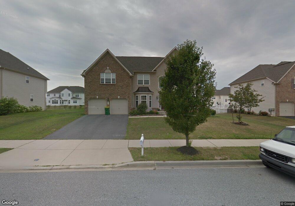
604 Nesting Ln Middletown, DE 19709
Estimated Value: $601,000 - $650,000
4
Beds
3
Baths
3,202
Sq Ft
$193/Sq Ft
Est. Value
About This Home
This home is located at 604 Nesting Ln, Middletown, DE 19709 and is currently estimated at $619,013, approximately $193 per square foot. 604 Nesting Ln is a home located in New Castle County with nearby schools including Brick Mill Elementary School, Louis L. Redding Middle School, and Middletown High School.
Ownership History
Date
Name
Owned For
Owner Type
Purchase Details
Closed on
Apr 22, 2005
Sold by
Foulk Road Associates Llc
Bought by
Sanders Belinda K
Current Estimated Value
Home Financials for this Owner
Home Financials are based on the most recent Mortgage that was taken out on this home.
Original Mortgage
$271,779
Outstanding Balance
$141,068
Interest Rate
5.87%
Mortgage Type
Fannie Mae Freddie Mac
Estimated Equity
$477,945
Create a Home Valuation Report for This Property
The Home Valuation Report is an in-depth analysis detailing your home's value as well as a comparison with similar homes in the area
Home Values in the Area
Average Home Value in this Area
Purchase History
| Date | Buyer | Sale Price | Title Company |
|---|---|---|---|
| Sanders Belinda K | $339,724 | -- |
Source: Public Records
Mortgage History
| Date | Status | Borrower | Loan Amount |
|---|---|---|---|
| Open | Sanders Belinda K | $271,779 |
Source: Public Records
Tax History
| Year | Tax Paid | Tax Assessment Tax Assessment Total Assessment is a certain percentage of the fair market value that is determined by local assessors to be the total taxable value of land and additions on the property. | Land | Improvement |
|---|---|---|---|---|
| 2024 | $362 | $120,800 | $15,000 | $105,800 |
| 2023 | $362 | $120,800 | $15,000 | $105,800 |
| 2022 | $3,714 | $120,800 | $15,000 | $105,800 |
| 2021 | $3,633 | $120,800 | $15,000 | $105,800 |
| 2020 | $3,590 | $120,800 | $15,000 | $105,800 |
| 2019 | $3,689 | $120,800 | $15,000 | $105,800 |
| 2018 | $3,184 | $120,800 | $15,000 | $105,800 |
| 2017 | $3,065 | $120,800 | $15,000 | $105,800 |
| 2016 | $2,754 | $120,800 | $15,000 | $105,800 |
| 2015 | $3,025 | $120,800 | $15,000 | $105,800 |
| 2014 | $3,019 | $120,800 | $15,000 | $105,800 |
Source: Public Records
Map
Nearby Homes
- 624 Nesting Ln
- 836 Sweet Birch Dr
- 29 W Reybold Dr
- 795 Idlewyld Dr
- 610 Spring Hollow Dr
- 815 Sweet Birch Dr
- 895 Marl Pit Rd
- 403 New St
- 870 Sweet Birch Dr
- 408 Quincy Ave
- 40 S Cummings Dr
- 60 S Cummings Dr
- 513 Spring Hollow Dr
- 187 Gillespie Ave
- 444 Spring Hollow Dr
- 659 Warren Dr
- 448 Spring Hollow Dr
- 945 Lansdowne Rd
- 6 Bradley Cir
- 241 Wickerberry Dr
- 602 Nesting Ln
- 606 Nesting Ln
- 212 Bucktail Dr
- 210 Bucktail Dr
- 608 Nesting Ln
- 600 Nesting Ln
- 214 Bucktail Dr
- 700 Wood Duck Ct
- 208 Bucktail Dr
- 605 Nesting Ln
- 701 Wood Duck Ct
- 607 Nesting Ln
- 216 Bucktail Dr
- 702 Wood Duck Ct
- 703 Wood Duck Ct
- 211 Bucktail Dr
- 209 Bucktail Dr
- 213 Bucktail Dr
- 207 Bucktail Dr
- 159 Mallard Way
Your Personal Tour Guide
Ask me questions while you tour the home.