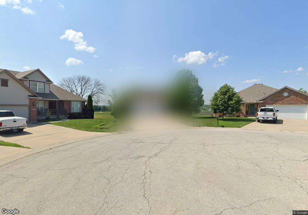
604 NW Albatross Ct Grain Valley, MO 64029
Estimated Value: $329,000 - $356,000
3
Beds
3
Baths
1,518
Sq Ft
$227/Sq Ft
Est. Value
About This Home
This home is located at 604 NW Albatross Ct, Grain Valley, MO 64029 and is currently estimated at $344,921, approximately $227 per square foot. 604 NW Albatross Ct is a home located in Jackson County with nearby schools including Grain Valley High School.
Ownership History
Date
Name
Owned For
Owner Type
Purchase Details
Closed on
Dec 30, 2019
Sold by
Kessler William J and Kessler Elizabeth C
Bought by
Found Acres Llc
Current Estimated Value
Purchase Details
Closed on
Jun 28, 2005
Sold by
Rockwell Construction Inc
Bought by
Kessler William J and Kessler Elizabeth C
Purchase Details
Closed on
May 25, 2004
Sold by
Valley Hills Development Co
Bought by
Rockwell Construction Inc
Home Financials for this Owner
Home Financials are based on the most recent Mortgage that was taken out on this home.
Original Mortgage
$246,000
Interest Rate
5.93%
Mortgage Type
Purchase Money Mortgage
Create a Home Valuation Report for This Property
The Home Valuation Report is an in-depth analysis detailing your home's value as well as a comparison with similar homes in the area
Home Values in the Area
Average Home Value in this Area
Purchase History
| Date | Buyer | Sale Price | Title Company |
|---|---|---|---|
| Found Acres Llc | -- | None Available | |
| Kessler William J | -- | Commonwealth Title | |
| Rockwell Construction Inc | -- | Commonwealth Title |
Source: Public Records
Mortgage History
| Date | Status | Borrower | Loan Amount |
|---|---|---|---|
| Previous Owner | Rockwell Construction Inc | $246,000 |
Source: Public Records
Tax History Compared to Growth
Tax History
| Year | Tax Paid | Tax Assessment Tax Assessment Total Assessment is a certain percentage of the fair market value that is determined by local assessors to be the total taxable value of land and additions on the property. | Land | Improvement |
|---|---|---|---|---|
| 2025 | $4,304 | $60,087 | $7,820 | $52,267 |
| 2024 | $5,369 | $52,250 | $9,688 | $42,562 |
| 2023 | $5,369 | $67,716 | $8,601 | $59,115 |
| 2022 | $4,375 | $48,260 | $7,129 | $41,131 |
| 2021 | $4,272 | $48,260 | $7,129 | $41,131 |
| 2020 | $4,336 | $48,316 | $7,129 | $41,187 |
| 2019 | $4,248 | $48,316 | $7,129 | $41,187 |
| 2018 | $1,608,511 | $42,051 | $6,205 | $35,846 |
| 2017 | $3,957 | $42,051 | $6,205 | $35,846 |
| 2016 | $3,647 | $38,779 | $5,890 | $32,889 |
| 2014 | $3,470 | $36,613 | $5,894 | $30,719 |
Source: Public Records
Map
Nearby Homes
- 1007 NW Long Dr
- 605 NW Silverstone Cir
- 704 NW Eagle Dr
- 706 NW Green Dr
- 1206 NW Baytree Dr
- 1211 NW Scenic Dr
- 1235 NW Ashley Ln
- 1208 NW Golfview Dr
- 408 Front St
- 518 South St
- 512 Broadway St
- 207 Pebblebrook St
- 618 NW Thieme St
- 209 SW Cross Creek Dr
- 2 Ooida Dr
- 805 NW Thieme St
- 708 Pavillion Dr
- 2601 NE Wheatley Dr
- 2700 NE Crestview St
- 2701 NE Crestview St
- 604 NW Albatross Cir
- 606 NW Albatross Cir
- 605 NW Albatross Cir
- 607 NW Albatross Cir
- 959 NW Long Dr
- 957 NW Long Dr
- 953 NW Long Dr
- 603 NW Silverstone Cir
- 601 NW Silverstone Ct
- 1005 NW Long Dr
- 602 NW Par Ct
- 0 40 Hwy Unit 2080191
- 951 NW Long Dr
- 958 NW Long Dr
- 601 NW Silverstone Cir
- 600 NW Par Ct
- 1002 NW Long Dr
- 602 NW Silverstone Cir
- 604 NW Par Ct
- 614 NW Albatross Dr