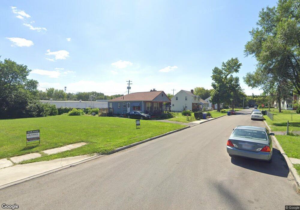
604 Rhoads Ave Columbus, OH 43205
South of Main NeighborhoodEstimated Value: $136,000 - $202,000
2
Beds
1
Bath
888
Sq Ft
$181/Sq Ft
Est. Value
About This Home
This home is located at 604 Rhoads Ave, Columbus, OH 43205 and is currently estimated at $160,831, approximately $181 per square foot. 604 Rhoads Ave is a home located in Franklin County with nearby schools including Ohio Avenue Elementary School, Champion Middle School, and East High School.
Ownership History
Date
Name
Owned For
Owner Type
Purchase Details
Closed on
Sep 16, 2013
Sold by
Smith Lawrence
Bought by
Smith Lawrence and Reed Deborah Renee
Current Estimated Value
Purchase Details
Closed on
Nov 9, 2009
Sold by
Russell Evette and Russell Evette Lorraine
Bought by
Smith Lawrence
Purchase Details
Closed on
Jul 25, 2007
Sold by
Levi Steven and Royal Builders
Bought by
Russell Evette
Purchase Details
Closed on
Oct 13, 1989
Bought by
Royal Builders
Create a Home Valuation Report for This Property
The Home Valuation Report is an in-depth analysis detailing your home's value as well as a comparison with similar homes in the area
Home Values in the Area
Average Home Value in this Area
Purchase History
| Date | Buyer | Sale Price | Title Company |
|---|---|---|---|
| Smith Lawrence | $14,800 | None Available | |
| Smith Lawrence | $6,000 | None Available | |
| Russell Evette | $44,000 | Attorney | |
| Royal Builders | $25,000 | -- |
Source: Public Records
Tax History Compared to Growth
Tax History
| Year | Tax Paid | Tax Assessment Tax Assessment Total Assessment is a certain percentage of the fair market value that is determined by local assessors to be the total taxable value of land and additions on the property. | Land | Improvement |
|---|---|---|---|---|
| 2024 | $1,984 | $44,210 | $21,280 | $22,930 |
| 2023 | $1,959 | $44,205 | $21,280 | $22,925 |
| 2022 | $873 | $16,840 | $1,790 | $15,050 |
| 2021 | $875 | $16,840 | $1,790 | $15,050 |
| 2020 | $876 | $16,840 | $1,790 | $15,050 |
| 2019 | $849 | $14,000 | $1,470 | $12,530 |
| 2018 | $424 | $14,000 | $1,470 | $12,530 |
| 2017 | $849 | $14,000 | $1,470 | $12,530 |
| 2016 | $652 | $9,840 | $2,660 | $7,180 |
| 2015 | $296 | $9,840 | $2,660 | $7,180 |
| 2014 | $593 | $9,840 | $2,660 | $7,180 |
| 2013 | $308 | $10,360 | $2,800 | $7,560 |
Source: Public Records
Map
Nearby Homes
- 1800 E Fulton St
- 572 Bulen Ave
- 639 Bulen Ave
- 1747 E Mound St
- 1779 E Main St
- 751 Bulen Ave
- 623 Seymour Ave
- 849 Lyman Ave
- 1825-1827 Bryden Rd
- 707 Seymour Ave
- 711 Seymour Ave
- 756 Seymour Ave
- 395-397 Stoddart Ave
- 1751 Bide A Wee Park Ave
- 780-782 Seymour Ave
- 688 Berkeley Rd
- 547 Berkeley Rd
- 1833 Franklin Ave
- 419 Westland Ave
- 0 Lilley Ave
- 598-600 Rhoads Ave
- 610 Rhoads Ave Unit 612
- 610-612 Rhoads Ave
- 592 Rhoads Ave Unit 594
- 592 Rhoads Ave Unit 294
- 616 Rhoads Ave
- 622 Rhoads Ave
- 588 Rhoads Ave
- 588 Rhoads Ave Unit 294
- 595-597 Rhoads Ave
- 615 Rhoads Ave
- 595 Rhoads Ave Unit 597
- 0 Rhoads Place
- 619 Rhoads Ave
- 585-587 Rhoads Ave
- 585 Rhoads Ave Unit 587
- 634 Rhoads Ave
- 580 Rhoads Ave Unit 582
- 580 Rhoads Ave Unit 82
- 581-583 Rhoads Ave