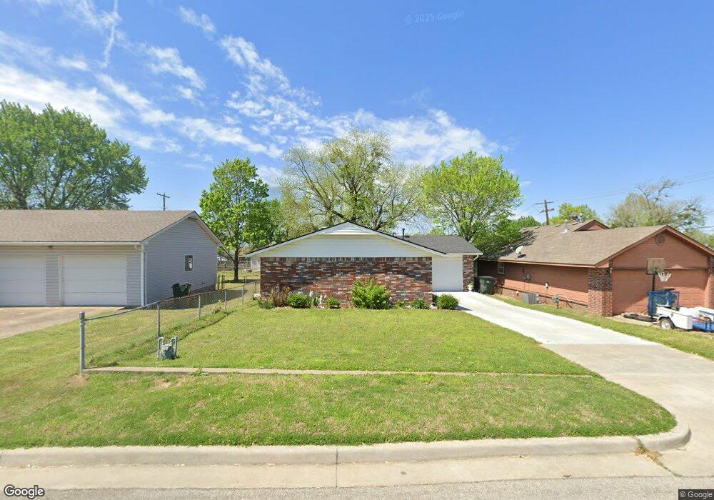
604 S Apple St Sapulpa, OK 74066
Estimated Value: $160,866 - $176,000
2
Beds
2
Baths
1,180
Sq Ft
$143/Sq Ft
Est. Value
About This Home
This home is located at 604 S Apple St, Sapulpa, OK 74066 and is currently estimated at $169,217, approximately $143 per square foot. 604 S Apple St is a home located in Creek County with nearby schools including Sapulpa Middle School, Sapulpa Junior High School, and Sapulpa High School.
Ownership History
Date
Name
Owned For
Owner Type
Purchase Details
Closed on
Oct 19, 2006
Sold by
Hanson Rhonda Jane and Hanson Wayne
Bought by
Stone Robert L and Stone Betty S
Current Estimated Value
Home Financials for this Owner
Home Financials are based on the most recent Mortgage that was taken out on this home.
Original Mortgage
$74,884
Interest Rate
6.41%
Mortgage Type
Future Advance Clause Open End Mortgage
Create a Home Valuation Report for This Property
The Home Valuation Report is an in-depth analysis detailing your home's value as well as a comparison with similar homes in the area
Home Values in the Area
Average Home Value in this Area
Purchase History
| Date | Buyer | Sale Price | Title Company |
|---|---|---|---|
| Stone Robert L | $74,000 | None Available |
Source: Public Records
Mortgage History
| Date | Status | Borrower | Loan Amount |
|---|---|---|---|
| Closed | Stone Robert L | $74,884 |
Source: Public Records
Tax History Compared to Growth
Tax History
| Year | Tax Paid | Tax Assessment Tax Assessment Total Assessment is a certain percentage of the fair market value that is determined by local assessors to be the total taxable value of land and additions on the property. | Land | Improvement |
|---|---|---|---|---|
| 2025 | $1,012 | $9,324 | $1,149 | $8,175 |
| 2024 | $1,012 | $9,324 | $1,068 | $8,256 |
| 2023 | $1,012 | $9,324 | $1,169 | $8,155 |
| 2022 | $956 | $9,324 | $1,242 | $8,082 |
| 2021 | $988 | $9,324 | $1,533 | $7,791 |
| 2020 | $982 | $9,324 | $1,578 | $7,746 |
| 2019 | $987 | $9,324 | $1,912 | $7,412 |
| 2018 | $1,007 | $9,324 | $1,704 | $7,620 |
| 2017 | $1,002 | $9,324 | $1,704 | $7,620 |
| 2016 | $953 | $9,324 | $1,704 | $7,620 |
| 2015 | -- | $9,324 | $1,704 | $7,620 |
| 2014 | -- | $9,324 | $1,704 | $7,620 |
Source: Public Records
Map
Nearby Homes
- 319 S Division St
- 1010 E Thompson Ave
- 1033 E Thompson Ave
- 0 Division St Unit 2535888
- 1023 E Thompson Ave
- 819 Ridge Rd
- 511 S Maple St
- 1440 Mabelle Dr
- 1140 E Hobson Ave
- 706 E Thompson Ave
- 1103 S Division St
- 1014 Ridge Rd
- 1608 Glendale Rd
- 1109 S Division St
- 813 E Teresa Ave
- 1136 E Mcleod Ave
- 6 Mayfield St
- 1805 Glendale Rd
- 207 S Walnut St
- 0 E Taft St
- 602 S Apple St
- 608 S Apple St
- 603 S Adams St
- 610 S Apple St
- 605 S Adams St
- 1202 E Cleveland Ave
- 607 S Adams St
- 612 S Apple St
- 1211 E Cleveland Ave
- 1215 E Cleveland Ave
- 609 S Adams St
- 1205 E Cleveland Ave
- 1227 E Cleveland Ave
- 611 S Adams St
- 624 S Apple St
- 1229 E Cleveland Ave
- 1201 E Cleveland Ave
- 1239 E Cleveland Ave
- 613 S Adams St
- 620 S Apple St