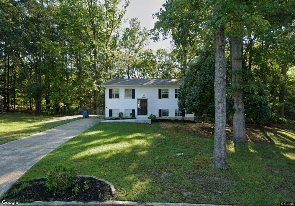
604 Tower Rd Peachtree City, GA 30269
Estimated Value: $256,000 - $432,000
--
Bed
2
Baths
972
Sq Ft
$319/Sq Ft
Est. Value
About This Home
This home is located at 604 Tower Rd, Peachtree City, GA 30269 and is currently estimated at $310,029, approximately $318 per square foot. 604 Tower Rd is a home located in Fayette County with nearby schools including Kedron Elementary School, Booth Middle School, and McIntosh High School.
Ownership History
Date
Name
Owned For
Owner Type
Purchase Details
Closed on
May 9, 2017
Sold by
Beauly Llc
Bought by
Srp Sub Llc
Current Estimated Value
Purchase Details
Closed on
Mar 31, 2014
Sold by
Bank Of America Na
Bought by
Beauly Llc
Purchase Details
Closed on
Jul 3, 2012
Sold by
Dean James
Bought by
Bank Of America Na
Purchase Details
Closed on
Mar 31, 1994
Sold by
Webster Patricia
Bought by
Dean James
Home Financials for this Owner
Home Financials are based on the most recent Mortgage that was taken out on this home.
Original Mortgage
$62,418
Interest Rate
7.26%
Mortgage Type
FHA
Create a Home Valuation Report for This Property
The Home Valuation Report is an in-depth analysis detailing your home's value as well as a comparison with similar homes in the area
Home Values in the Area
Average Home Value in this Area
Purchase History
| Date | Buyer | Sale Price | Title Company |
|---|---|---|---|
| Srp Sub Llc | -- | -- | |
| Beauly Llc | $87,570 | -- | |
| Bank Of America Na | -- | -- | |
| Dean James | $61,800 | -- |
Source: Public Records
Mortgage History
| Date | Status | Borrower | Loan Amount |
|---|---|---|---|
| Previous Owner | Dean James | $62,418 |
Source: Public Records
Tax History Compared to Growth
Tax History
| Year | Tax Paid | Tax Assessment Tax Assessment Total Assessment is a certain percentage of the fair market value that is determined by local assessors to be the total taxable value of land and additions on the property. | Land | Improvement |
|---|---|---|---|---|
| 2024 | $2,730 | $92,360 | $16,000 | $76,360 |
| 2023 | $2,926 | $96,440 | $16,000 | $80,440 |
| 2022 | $2,250 | $74,280 | $16,000 | $58,280 |
| 2021 | $1,997 | $65,000 | $16,000 | $49,000 |
| 2020 | $1,664 | $53,600 | $10,000 | $43,600 |
| 2019 | $1,627 | $51,880 | $10,000 | $41,880 |
| 2018 | $1,569 | $49,240 | $10,000 | $39,240 |
| 2017 | $1,454 | $45,320 | $10,000 | $35,320 |
| 2016 | $1,312 | $39,400 | $11,400 | $28,000 |
| 2015 | $1,007 | $29,760 | $11,400 | $18,360 |
| 2014 | $916 | $26,600 | $11,400 | $15,200 |
| 2013 | -- | $38,120 | $0 | $0 |
Source: Public Records
Map
Nearby Homes
- 138 Wynnmeade Pkwy
- 100 Kings Ridge Dr
- 719 Gittings Ave
- 405 Abbey Rd
- 169 Wynnmeade Pkwy
- 171 Wynnmeade Pkwy
- 64 Star Spangled Ln
- 147 Westberry St
- 22 Star Spangled Ln
- 0 Highway 54 Unit 10555371
- 0 Highway 54 Unit 10139299
- 00 Highway 54
- 0 Highway 54 Unit 7182931
- 0 Highway 54 Unit 10135435
- 826 Richmond Cir
- 107 S Fairfield Dr
- 111 S Fairfield Dr
- 844 Richmond Cir Unit 7
- 505 N Fairfield Dr
- 713 S Fairfield Dr