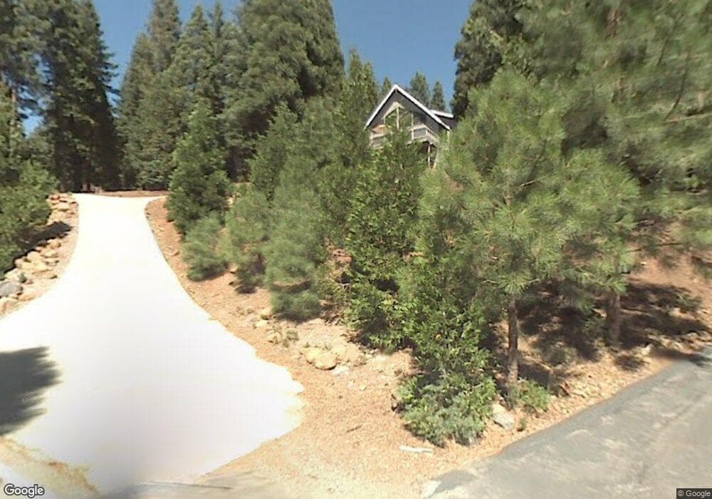
604 W Mountain Ridge Rd Westwood, CA 96137
Estimated Value: $496,000 - $644,000
3
Beds
2
Baths
2,128
Sq Ft
$257/Sq Ft
Est. Value
About This Home
This home is located at 604 W Mountain Ridge Rd, Westwood, CA 96137 and is currently estimated at $547,889, approximately $257 per square foot. 604 W Mountain Ridge Rd is a home located in Plumas County.
Ownership History
Date
Name
Owned For
Owner Type
Purchase Details
Closed on
Nov 22, 2010
Sold by
Gallagher John J and Gallagher Wendy L
Bought by
Gallagher John J and Gallagher Wendy L
Current Estimated Value
Home Financials for this Owner
Home Financials are based on the most recent Mortgage that was taken out on this home.
Original Mortgage
$230,250
Interest Rate
4.17%
Mortgage Type
New Conventional
Purchase Details
Closed on
Feb 20, 2004
Sold by
Gallagher John J and Gallagher Wendy L
Bought by
Gallagher John J and Gallagher Wendy L
Create a Home Valuation Report for This Property
The Home Valuation Report is an in-depth analysis detailing your home's value as well as a comparison with similar homes in the area
Home Values in the Area
Average Home Value in this Area
Purchase History
| Date | Buyer | Sale Price | Title Company |
|---|---|---|---|
| Gallagher John J | -- | First American Title Company | |
| Gallagher John J | -- | First American Title Company | |
| Gallagher John J | -- | -- |
Source: Public Records
Mortgage History
| Date | Status | Borrower | Loan Amount |
|---|---|---|---|
| Closed | Gallagher John J | $230,250 |
Source: Public Records
Tax History Compared to Growth
Tax History
| Year | Tax Paid | Tax Assessment Tax Assessment Total Assessment is a certain percentage of the fair market value that is determined by local assessors to be the total taxable value of land and additions on the property. | Land | Improvement |
|---|---|---|---|---|
| 2025 | $3,662 | $285,298 | $78,374 | $206,924 |
| 2023 | $3,662 | $274,222 | $75,332 | $198,890 |
| 2022 | $3,360 | $268,846 | $73,855 | $194,991 |
| 2021 | $3,126 | $263,575 | $72,407 | $191,168 |
| 2020 | $3,191 | $260,873 | $71,665 | $189,208 |
| 2019 | $3,133 | $255,759 | $70,260 | $185,499 |
| 2018 | $3,010 | $250,745 | $68,883 | $181,862 |
| 2017 | $2,995 | $245,830 | $67,533 | $178,297 |
| 2016 | $2,778 | $241,010 | $66,209 | $174,801 |
| 2015 | $2,744 | $237,391 | $65,215 | $172,176 |
| 2014 | $2,700 | $232,742 | $63,938 | $168,804 |
Source: Public Records
Map
Nearby Homes
- 621 W Burnt Cedar Rd
- 625 W Burnt Cedar Rd
- 600 Clifford Trail
- 608 E Burnt Cedar Rd
- 767 Lassen View Dr Unit 21
- 615 Clifford Trail
- 642 W Burnt Cedar Rd
- 777 Lassen View Dr
- 644 W Burnt Cedar Rd
- 623 W Mountain Ridge Rd
- 614 E Burnt Cedar Rd
- 611 E Burnt Cedar Rd
- 673 E Mountain Ridge Rd
- 615 E Mountain Ridge Rd
- 700 E Mountain Ridge Rd
- 717 Conifer Trail
- 817 Lassen View Dr
- 720 E Mountain Ridge Rd
- 723 Clifford Dr
- 821 Lassen View Dr
- 606 W Mountain Ridge Rd
- 601 W Mountain Ridge Rd
- 608 W Mountain Ridge Rd
- 605 W Mountain Ridge Rd
- 603 W Mountain Ridge Rd
- 623 W Burnt Cedar Rd
- 607 W Mountain Ridge Rd
- 610 W Mountain Ridge Rd
- 609 W Mountain Ridge Rd
- 627 W Burnt Cedar Rd
- 756 Lassen View Dr
- 613 W Mountain Ridge Rd Unit 18
- 613 W Mountain Ridge Rd
- 615 W Burnt Cedar Rd
- 620 E Burnt Cedar Rd
- 620 E Burnt Cedar Rd
- 629 W Burnt Cedar Rd
- 613 W Burnt Cedar Rd
- 759 Lassen View Dr
- 631 W Burnt Cedar Rd