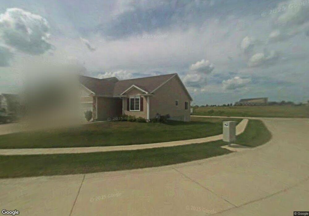
6045 Sheffield Cir Johnston, IA 50131
Southwest Johnston NeighborhoodEstimated Value: $297,000 - $367,000
2
Beds
3
Baths
1,357
Sq Ft
$241/Sq Ft
Est. Value
About This Home
This home is located at 6045 Sheffield Cir, Johnston, IA 50131 and is currently estimated at $326,681, approximately $240 per square foot. 6045 Sheffield Cir is a home located in Polk County with nearby schools including Horizon Elementary School, Summit Middle School, and Johnston Middle School.
Ownership History
Date
Name
Owned For
Owner Type
Purchase Details
Closed on
Oct 2, 2019
Sold by
Moore Gary L and Moore Betty L
Bought by
Moore Gary L and Moore Betty L
Current Estimated Value
Purchase Details
Closed on
Aug 29, 2007
Sold by
Jerrys Homes Inc
Bought by
Moore Gary L and Moore Betty L
Home Financials for this Owner
Home Financials are based on the most recent Mortgage that was taken out on this home.
Original Mortgage
$173,260
Interest Rate
6.38%
Mortgage Type
Purchase Money Mortgage
Create a Home Valuation Report for This Property
The Home Valuation Report is an in-depth analysis detailing your home's value as well as a comparison with similar homes in the area
Home Values in the Area
Average Home Value in this Area
Purchase History
| Date | Buyer | Sale Price | Title Company |
|---|---|---|---|
| Moore Gary L | -- | None Available | |
| Moore Gary L | $216,500 | None Available |
Source: Public Records
Mortgage History
| Date | Status | Borrower | Loan Amount |
|---|---|---|---|
| Closed | Moore Gary L | $173,260 |
Source: Public Records
Tax History Compared to Growth
Tax History
| Year | Tax Paid | Tax Assessment Tax Assessment Total Assessment is a certain percentage of the fair market value that is determined by local assessors to be the total taxable value of land and additions on the property. | Land | Improvement |
|---|---|---|---|---|
| 2025 | $4,632 | $337,200 | $54,400 | $282,800 |
| 2024 | $4,632 | $302,300 | $48,300 | $254,000 |
| 2023 | $4,670 | $302,300 | $48,300 | $254,000 |
| 2022 | $5,216 | $257,200 | $42,500 | $214,700 |
| 2021 | $5,244 | $257,200 | $42,500 | $214,700 |
| 2020 | $5,150 | $246,300 | $40,700 | $205,600 |
| 2019 | $5,384 | $246,300 | $40,700 | $205,600 |
| 2018 | $5,242 | $238,700 | $38,700 | $200,000 |
| 2017 | $4,914 | $238,700 | $38,700 | $200,000 |
| 2016 | $4,806 | $220,200 | $26,800 | $193,400 |
| 2015 | $4,806 | $220,200 | $26,800 | $193,400 |
| 2014 | $4,512 | $212,100 | $30,200 | $181,900 |
Source: Public Records
Map
Nearby Homes
- 6101 Manchester Ln
- 5920 Century Way E
- 10335 Norfolk Dr Unit 16
- 5827 Marble Cir
- 10100 Catalina Dr
- 10520 Stonecrest Dr
- 10325 Providence Dr Unit 102
- 10418 Stonebridge Dr
- 2803 SE Keystone Dr
- 9425 Woodland Dr
- 2908 SE Diamond Dr
- 3008 SE Weatherstone St
- 9504 NW Newgate Dr
- 5920 NW 91st Ct
- 5809 NW 92nd Ct
- 5917 NW 90th St
- 16311 Ironwood Ln
- 9509 Ironwood Ln
- 6296 Sudbury Ct
- 3305 SE Glenstone Dr Unit 142
- 6049 Sheffield Cir
- 6053 Sheffield Cir
- 6057 Sheffield Cir
- 10037 Bayern Ln
- 10029 Bayern Ln
- 6038 Sheffield Cir
- 6034 Sheffield Cir
- 6042 Sheffield Cir
- 6030 Sheffield Cir
- 10021 Bayern Ln
- 6050 Sheffield Cir
- 10034 Bayern Ln
- 6164 Sheffield Ln
- 6164 Sheffield Ln
- 6143 Bristol Ln
- 10013 Bayern Ln
- 10026 Bayern Ln
- 6168 Sheffield Ln
- 6168 Sheffield Ln
- 6058 Sheffield Cir