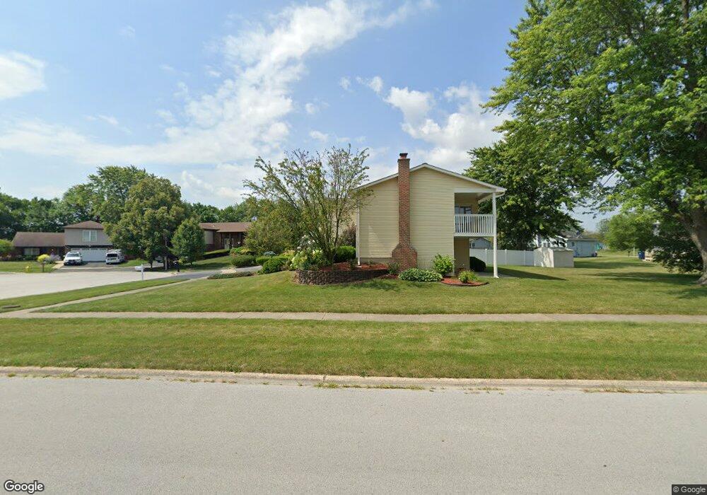
6047 Allemong Dr Matteson, IL 60443
West Matteson NeighborhoodEstimated Value: $292,000 - $349,000
4
Beds
3
Baths
2,408
Sq Ft
$131/Sq Ft
Est. Value
About This Home
This home is located at 6047 Allemong Dr, Matteson, IL 60443 and is currently estimated at $316,124, approximately $131 per square foot. 6047 Allemong Dr is a home located in Cook County with nearby schools including Colin Powell Middle School.
Ownership History
Date
Name
Owned For
Owner Type
Purchase Details
Closed on
Jul 25, 2006
Sold by
Thrasher Long Edward and Thrasher Long Lydia
Bought by
Brown Evelyn E
Current Estimated Value
Home Financials for this Owner
Home Financials are based on the most recent Mortgage that was taken out on this home.
Original Mortgage
$125,000
Outstanding Balance
$73,724
Interest Rate
6.82%
Mortgage Type
Unknown
Estimated Equity
$242,400
Create a Home Valuation Report for This Property
The Home Valuation Report is an in-depth analysis detailing your home's value as well as a comparison with similar homes in the area
Home Values in the Area
Average Home Value in this Area
Purchase History
| Date | Buyer | Sale Price | Title Company |
|---|---|---|---|
| Brown Evelyn E | $250,000 | None Available |
Source: Public Records
Mortgage History
| Date | Status | Borrower | Loan Amount |
|---|---|---|---|
| Open | Brown Evelyn E | $125,000 |
Source: Public Records
Tax History
| Year | Tax Paid | Tax Assessment Tax Assessment Total Assessment is a certain percentage of the fair market value that is determined by local assessors to be the total taxable value of land and additions on the property. | Land | Improvement |
|---|---|---|---|---|
| 2025 | $2,024 | $26,000 | $4,825 | $21,175 |
| 2024 | $2,024 | $26,000 | $4,825 | $21,175 |
| 2023 | $2,697 | $26,000 | $4,825 | $21,175 |
| 2022 | $2,697 | $16,404 | $4,222 | $12,182 |
| 2021 | $2,651 | $16,403 | $4,222 | $12,181 |
| 2020 | $2,386 | $16,403 | $4,222 | $12,181 |
| 2019 | $2,760 | $16,818 | $3,920 | $12,898 |
| 2018 | $2,724 | $16,818 | $3,920 | $12,898 |
| 2017 | $2,603 | $16,818 | $3,920 | $12,898 |
| 2016 | $3,827 | $14,345 | $3,618 | $10,727 |
| 2015 | $3,947 | $14,345 | $3,618 | $10,727 |
| 2014 | $3,760 | $14,345 | $3,618 | $10,727 |
| 2013 | $3,582 | $15,222 | $3,618 | $11,604 |
Source: Public Records
Map
Nearby Homes
- 152 Oakhurst Rd
- 124 Oriole Rd
- 123 Oriole Rd
- 6037 Spring Ln
- 6021 Spring Ln
- 5804 Kathryn Ln
- 5808 Allemong Dr
- 443 Danielle Rd
- 72 White Oaks Rd
- 42 Pheasant Rd
- 41 Willow Rd
- 6237 Michael Ln
- 156 Cloverleaf Rd
- 133 Deerpath Rd
- 25 Pheasant Rd
- 6125 Sunflower Dr
- 6306 Beaver Dam Rd
- 34 Wedgewood Rd
- 6158 White Birch Ln
- 40 Huntingwood Rd
- 6049 Allemong Dr
- 6043 Allemong Dr
- 239 Willow Rd
- 247 Willow Rd
- 233 Willow Rd
- 253 Willow Rd
- 6035 Allemong Dr
- 6036 Kathryn Ln
- 6030 Kathryn Ln
- 225 Willow Rd
- 6025 Allemong Dr
- 6042 Kathryn Ln
- 6024 Kathryn Ln
- 225 Timberlane Rd
- 6044 Allemong Dr
- 6019 Allemong Dr
- 6018 Kathryn Ln
- 220 Timberlane Rd
- 234 Pheasant Rd
- 6012 Kathryn Ln
Your Personal Tour Guide
Ask me questions while you tour the home.