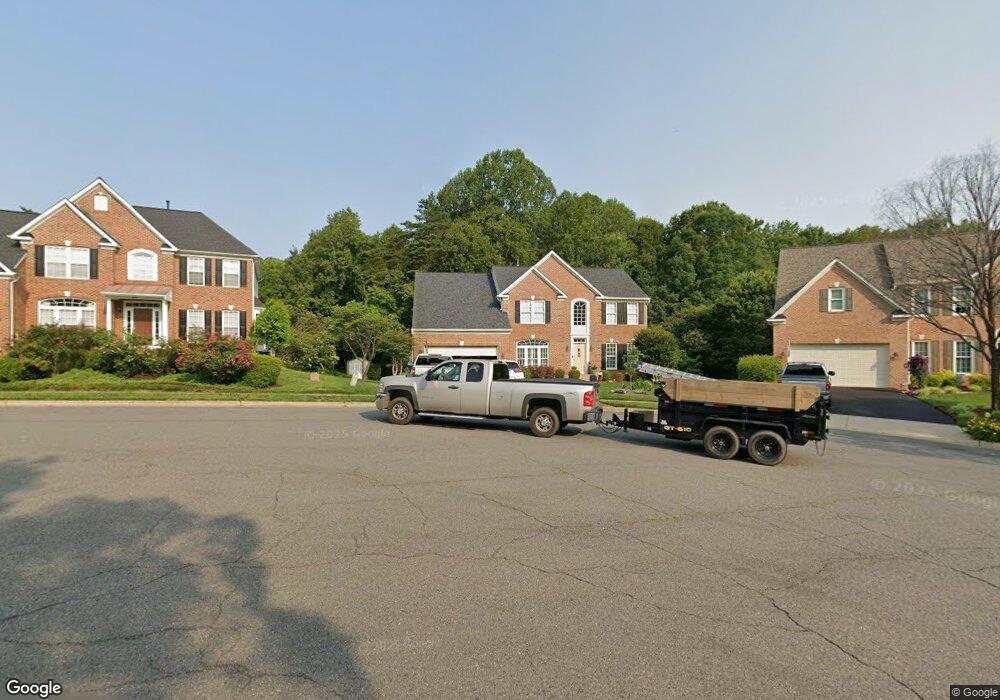
6047 Gholson Bridge Ct Manassas, VA 20112
Powells Creek NeighborhoodEstimated Value: $779,043 - $869,000
4
Beds
3
Baths
3,232
Sq Ft
$257/Sq Ft
Est. Value
About This Home
This home is located at 6047 Gholson Bridge Ct, Manassas, VA 20112 and is currently estimated at $829,011, approximately $256 per square foot. 6047 Gholson Bridge Ct is a home located in Prince William County with nearby schools including Ashland Elementary School, Louise A. Benton Middle School, and Forest Park High School.
Ownership History
Date
Name
Owned For
Owner Type
Purchase Details
Closed on
Jan 29, 2003
Sold by
Nvr Inc
Bought by
Farber Kurt
Current Estimated Value
Home Financials for this Owner
Home Financials are based on the most recent Mortgage that was taken out on this home.
Original Mortgage
$365,360
Outstanding Balance
$158,071
Interest Rate
6.09%
Mortgage Type
New Conventional
Estimated Equity
$670,940
Purchase Details
Closed on
Oct 1, 2002
Sold by
Ashland Community Dev Llc
Bought by
N V R Inc
Create a Home Valuation Report for This Property
The Home Valuation Report is an in-depth analysis detailing your home's value as well as a comparison with similar homes in the area
Home Values in the Area
Average Home Value in this Area
Purchase History
| Date | Buyer | Sale Price | Title Company |
|---|---|---|---|
| Farber Kurt | $456,700 | -- | |
| N V R Inc | $425,000 | -- |
Source: Public Records
Mortgage History
| Date | Status | Borrower | Loan Amount |
|---|---|---|---|
| Open | Farber Kurt | $365,360 |
Source: Public Records
Tax History Compared to Growth
Tax History
| Year | Tax Paid | Tax Assessment Tax Assessment Total Assessment is a certain percentage of the fair market value that is determined by local assessors to be the total taxable value of land and additions on the property. | Land | Improvement |
|---|---|---|---|---|
| 2025 | $7,187 | $719,200 | $235,700 | $483,500 |
| 2024 | $7,187 | $722,700 | $235,700 | $487,000 |
| 2023 | $6,748 | $648,500 | $203,600 | $444,900 |
| 2022 | $6,843 | $607,600 | $197,400 | $410,200 |
| 2021 | $7,017 | $576,800 | $174,200 | $402,600 |
| 2020 | $7,979 | $514,800 | $157,600 | $357,200 |
| 2019 | $7,779 | $501,900 | $154,600 | $347,300 |
| 2018 | $6,153 | $509,600 | $153,000 | $356,600 |
| 2017 | $6,214 | $505,900 | $151,500 | $354,400 |
| 2016 | $5,888 | $483,600 | $144,300 | $339,300 |
| 2015 | $5,871 | $503,500 | $149,400 | $354,100 |
| 2014 | $5,871 | $471,900 | $139,700 | $332,200 |
Source: Public Records
Map
Nearby Homes
- 6031 Gholson Bridge Ct
- 6215 Haw Branch Ct
- 15158 Addison Ln
- 14791 Conway Dr
- 14933 Spriggs Tree Ln
- 6131 Lost Colony Dr
- 5554 Barnes Ln
- 14612 Bridle Creek Rd
- 5540 Hobsons Choice Loop
- 6757 John Mallard Dr
- 15309 Colonel Tansill Ct
- 5337 Box Turtle Ct
- 15111 Snapper Ct
- 5850 Anthony Dr
- 15333 Wits End Dr
- 14520 Idlebrook Ct
- 15750 Chimney Rock Terrace
- 15060 Galapagos Place
- 15045 Galapagos Place
- 14368 Springbrook Ct
- 6043 Gholson Bridge Ct
- 6051 Gholson Bridge Ct
- 6039 Gholson Bridge Ct
- 6050 Gholson Bridge Ct
- 6210 Haw Branch Ct
- 6040 Gholson Bridge Ct
- 6214 Haw Branch Ct
- 6048 Gholson Bridge Ct
- 6035 Gholson Bridge Ct
- 6036 Gholson Bridge Ct
- 6206 Haw Branch Ct
- 6037 Persinger House Ct
- 6033 Persinger House Ct
- 6041 Persinger House Ct
- 6219 Haw Branch Ct
- 15301 Bowmans Folly Dr
- 6032 Gholson Bridge Ct
- 6029 Persinger House Ct
- 6045 Persinger House Ct
- 6202 Haw Branch Ct