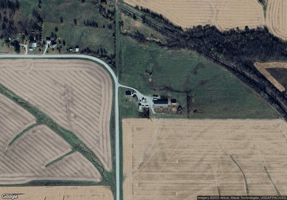
6049 213th Ave Carlisle, IA 50047
Warren County NeighborhoodEstimated Value: $409,000 - $528,360
3
Beds
3
Baths
1,996
Sq Ft
$227/Sq Ft
Est. Value
About This Home
This home is located at 6049 213th Ave, Carlisle, IA 50047 and is currently estimated at $453,453, approximately $227 per square foot. 6049 213th Ave is a home located in Warren County with nearby schools including Carlisle Elementary School, Hartford Upper Elementary School, and Carlisle Middle School.
Create a Home Valuation Report for This Property
The Home Valuation Report is an in-depth analysis detailing your home's value as well as a comparison with similar homes in the area
Home Values in the Area
Average Home Value in this Area
Tax History Compared to Growth
Tax History
| Year | Tax Paid | Tax Assessment Tax Assessment Total Assessment is a certain percentage of the fair market value that is determined by local assessors to be the total taxable value of land and additions on the property. | Land | Improvement |
|---|---|---|---|---|
| 2024 | $4,084 | $271,500 | $39,800 | $231,700 |
| 2023 | $3,130 | $271,500 | $39,800 | $231,700 |
| 2022 | $3,090 | $183,400 | $30,700 | $152,700 |
| 2021 | $3,198 | $186,200 | $33,500 | $152,700 |
| 2020 | $3,198 | $180,400 | $34,900 | $145,500 |
| 2019 | $3,056 | $180,400 | $34,900 | $145,500 |
| 2018 | $3,036 | $0 | $0 | $0 |
| 2017 | $2,866 | $0 | $0 | $0 |
| 2016 | $2,798 | $178,600 | $0 | $0 |
| 2015 | $2,798 | $0 | $0 | $0 |
| 2014 | $2,738 | $176,800 | $0 | $0 |
Source: Public Records
Map
Nearby Homes
- 5825 G24 Hwy
- 19573 G24 Hwy
- 01 S23 Hwy
- 00 Highway 5
- 5198 S23 Hwy
- 5101 S23 Hwy
- 3333 220th Ave
- 18670 Delaware Place
- Parcel FD 18000 BLK Fulton St
- Parcel FC 18000 BLK Fulton St
- 21438 Hayes St
- 24479 Elthon Place
- 22955 Buchanan Trail
- 118 Dubuque St
- 16211 Drake Trail
- 15999 Fulton St
- 203 Brown St
- 7133 155th Ave
- 5444 154th Ave
- 502 Brown St