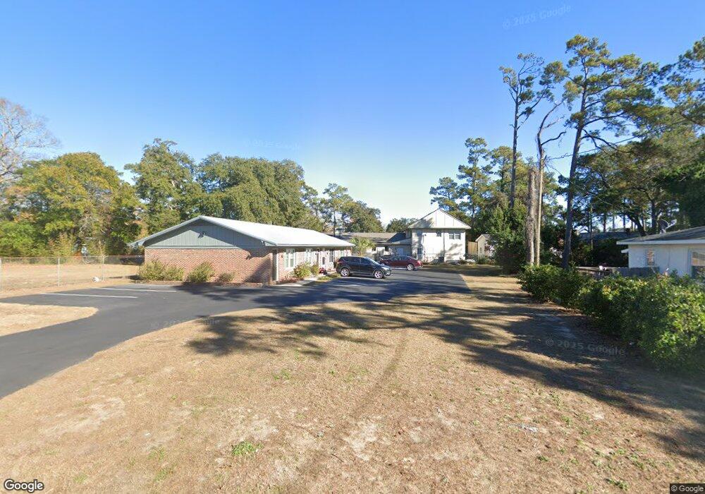
605 1st Ave S Myrtle Beach, SC 29577
Downtown Myrtle Beach NeighborhoodEstimated Value: $355,000 - $385,000
3
Beds
3
Baths
2,002
Sq Ft
$182/Sq Ft
Est. Value
About This Home
This home is located at 605 1st Ave S, Myrtle Beach, SC 29577 and is currently estimated at $363,663, approximately $181 per square foot. 605 1st Ave S is a home located in Horry County with nearby schools including Myrtle Beach Child Development Center, Myrtle Beach Primary School, and Myrtle Beach Elementary School.
Ownership History
Date
Name
Owned For
Owner Type
Purchase Details
Closed on
Dec 4, 2014
Sold by
Horberg Patricia T
Bought by
Steiner Kelvin R and Steiner Kristyn S
Current Estimated Value
Home Financials for this Owner
Home Financials are based on the most recent Mortgage that was taken out on this home.
Original Mortgage
$159,000
Outstanding Balance
$122,552
Interest Rate
4.09%
Mortgage Type
Purchase Money Mortgage
Estimated Equity
$241,111
Create a Home Valuation Report for This Property
The Home Valuation Report is an in-depth analysis detailing your home's value as well as a comparison with similar homes in the area
Home Values in the Area
Average Home Value in this Area
Purchase History
| Date | Buyer | Sale Price | Title Company |
|---|---|---|---|
| Steiner Kelvin R | $175,000 | -- |
Source: Public Records
Mortgage History
| Date | Status | Borrower | Loan Amount |
|---|---|---|---|
| Open | Steiner Kelvin R | $159,000 |
Source: Public Records
Tax History Compared to Growth
Tax History
| Year | Tax Paid | Tax Assessment Tax Assessment Total Assessment is a certain percentage of the fair market value that is determined by local assessors to be the total taxable value of land and additions on the property. | Land | Improvement |
|---|---|---|---|---|
| 2024 | $1,581 | $11,942 | $4,462 | $7,480 |
| 2023 | $1,581 | $8,793 | $2,132 | $6,661 |
| 2021 | $1,427 | $7,934 | $1,706 | $6,228 |
| 2020 | $1,342 | $7,934 | $1,706 | $6,228 |
| 2019 | $1,335 | $7,934 | $1,706 | $6,228 |
| 2018 | $1,200 | $6,634 | $1,706 | $4,928 |
| 2017 | $1,184 | $6,634 | $1,706 | $4,928 |
| 2016 | -- | $6,634 | $1,706 | $4,928 |
| 2015 | $2,587 | $6,634 | $1,706 | $4,928 |
| 2014 | $742 | $3,774 | $1,706 | $2,068 |
Source: Public Records
Map
Nearby Homes
- 614 Collins St
- 602 3rd Ave N
- 50 S Kings Hwy Unit Z-50
- 303 Withers Swash Dr
- 107 S Kings Hwy
- 404 2nd Ave N
- 2310 Seaseeker Ln
- 2308 Seaseeker Ln
- 2312 Seaseeker Ln Unit Lot 11
- 2312 Seaseeker Ln
- 0 3rd Ave S
- 311 3rd Ave N
- 308 2nd Ave N
- 1410 Lancaster Way Unit Lot 198, Ph. 2A, "Ea
- 708 Charlotte Rd
- 506 Maple St Unit 508 Maple St.
- 544 Caribbean Way S
- 304 1st Ave N
- 904 3rd Ave N
- 307 Flagg St Unit 105
- 607 1st Ave S
- 100 S Oak St
- 102 S Oak St
- 102 S Oak St Unit 102 SOUTH OAK STREET
- 606 Collins St
- 609 1st Ave S
- 104 S Oak St
- 602 Collins St
- 106 S Oak St
- TBD Collins St
- 611 1st Ave S
- 108 S Oak St
- 201 N Oak St
- 202 N Myrtle St
- 0 Collins St
- 110 S Oak St
- Lot 173 W Oak Cir
- Lot 174 W Oak Cir
- 110 S Myrtle St Unit 110
- 205N N Oak St Unit MB