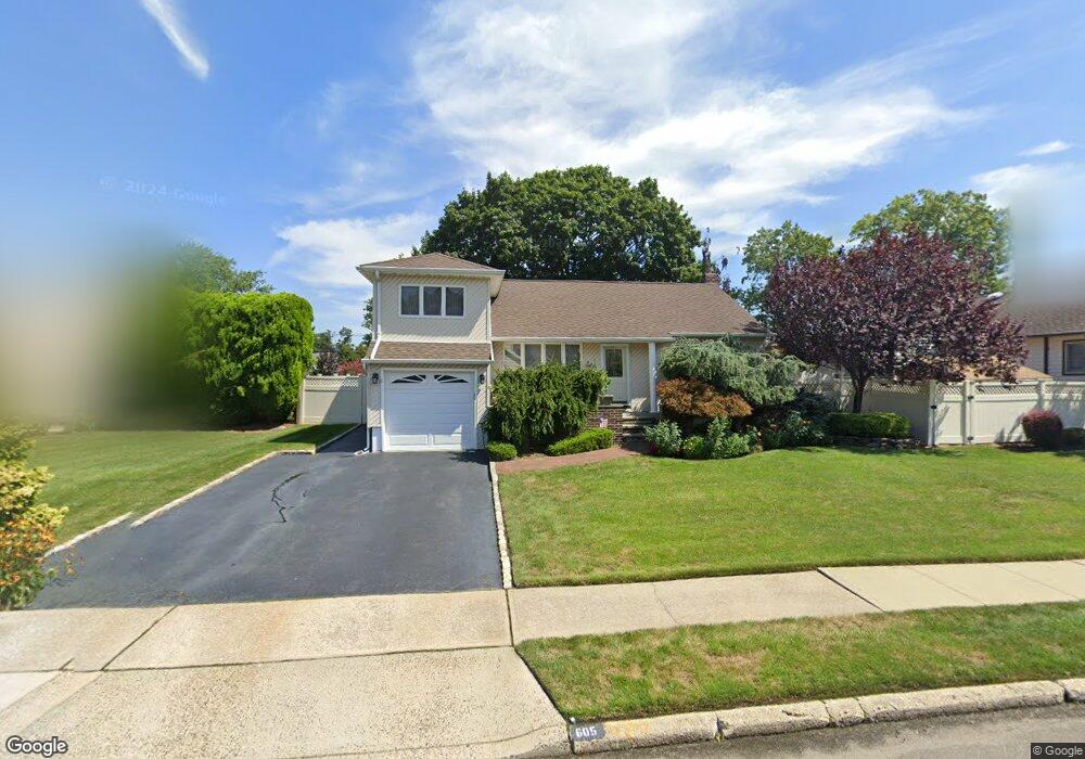
605 Arlington Dr Seaford, NY 11783
Estimated Value: $709,594 - $728,000
3
Beds
1
Bath
1,220
Sq Ft
$589/Sq Ft
Est. Value
About This Home
This home is located at 605 Arlington Dr, Seaford, NY 11783 and is currently estimated at $718,797, approximately $589 per square foot. 605 Arlington Dr is a home located in Nassau County with nearby schools including Michael F. Stokes Elementary School, J Fred Sparke Elementary School, and Island Trees Middle School.
Ownership History
Date
Name
Owned For
Owner Type
Purchase Details
Closed on
Sep 16, 2015
Sold by
Scarola Nicola and Scarola Chiara
Bought by
Hynes Isabella and Scarola Vito Nicola
Current Estimated Value
Purchase Details
Closed on
Dec 5, 2013
Sold by
Consolazio Anthony J and Consolazio Barbara C
Bought by
Scarola Nicola and Scarola Chiara
Home Financials for this Owner
Home Financials are based on the most recent Mortgage that was taken out on this home.
Original Mortgage
$135,000
Outstanding Balance
$100,664
Interest Rate
4.15%
Mortgage Type
Purchase Money Mortgage
Estimated Equity
$618,133
Create a Home Valuation Report for This Property
The Home Valuation Report is an in-depth analysis detailing your home's value as well as a comparison with similar homes in the area
Home Values in the Area
Average Home Value in this Area
Purchase History
| Date | Buyer | Sale Price | Title Company |
|---|---|---|---|
| Hynes Isabella | -- | Old Republic National Title | |
| Scarola Nicola | $435,000 | -- |
Source: Public Records
Mortgage History
| Date | Status | Borrower | Loan Amount |
|---|---|---|---|
| Open | Scarola Nicola | $135,000 |
Source: Public Records
Tax History Compared to Growth
Tax History
| Year | Tax Paid | Tax Assessment Tax Assessment Total Assessment is a certain percentage of the fair market value that is determined by local assessors to be the total taxable value of land and additions on the property. | Land | Improvement |
|---|---|---|---|---|
| 2025 | $7,139 | $410 | $206 | $204 |
| 2024 | $2,976 | $434 | $218 | $216 |
| 2023 | $6,777 | $432 | $217 | $215 |
| 2022 | $6,777 | $475 | $240 | $235 |
| 2021 | $7,933 | $449 | $225 | $224 |
| 2020 | $3,706 | $602 | $471 | $131 |
| 2019 | $6,899 | $645 | $469 | $176 |
| 2018 | $7,003 | $694 | $0 | $0 |
| 2017 | $3,612 | $664 | $464 | $200 |
| 2016 | $6,511 | $722 | $505 | $217 |
| 2015 | $2,942 | $722 | $505 | $217 |
| 2014 | $2,942 | $722 | $505 | $217 |
| 2013 | $2,759 | $722 | $505 | $217 |
Source: Public Records
Map
Nearby Homes
- 580 Heathcliff Dr
- 4129 Duff Place
- 647 Seamans Neck Rd
- 3980 Kingsberry Rd
- 4042 Old Post Rd
- 6 Regal Ln
- 3805 Colonial Ct
- 68 Thorne Ave
- 3 Brewster Gate
- 17 Rural Ln
- 9 Redwood Ln
- 3977 Wellwood Rd
- 3842 Whitman St
- 4195 Florence Rd
- 27 Midlawn Dr
- 4218 Florence Rd
- 520 Ann Ln
- 243 Elm Dr S
- 408 Briarwood Rd
- 3715 Regent Ln
- 599 Arlington Dr
- 615 Arlington Dr
- 606 Heathcliff Dr
- 598 Heathcliff Dr
- 591 Arlington Dr
- 616 Arlington Dr
- 622 Arlington Dr
- 592 Heathcliff Dr
- 610 Arlington Dr
- 585 Arlington Dr
- 602 Arlington Dr
- 628 Arlington Dr Unit 6
- 621 Arlington Dr
- 586 Heathcliff Dr
- 605 Heathcliff Dr
- 611 Heathcliff Dr
- 596 Arlington Dr
- 617 Heathcliff Dr
- 597 Heathcliff Dr
- 579 Arlington Dr