605 Budlong Farm Rd Warwick, RI 02886
Buttonwoods NeighborhoodEstimated Value: $497,000 - $1,159,000
3
Beds
3
Baths
1,309
Sq Ft
$670/Sq Ft
Est. Value
About This Home
This home is located at 605 Budlong Farm Rd, Warwick, RI 02886 and is currently estimated at $876,891, approximately $669 per square foot. 605 Budlong Farm Rd is a home with nearby schools including St Rose Of Lima School and Eleanor Briggs School.
Ownership History
Date
Name
Owned For
Owner Type
Purchase Details
Closed on
Dec 21, 2010
Sold by
Siharaj Sali and Sengvilay Souvanny
Bought by
Odi Rlty Llc
Current Estimated Value
Purchase Details
Closed on
Nov 19, 2010
Sold by
Sullivan A Michael
Bought by
Siharaj Sali and Sengvilay Souvanny
Create a Home Valuation Report for This Property
The Home Valuation Report is an in-depth analysis detailing your home's value as well as a comparison with similar homes in the area
Home Values in the Area
Average Home Value in this Area
Purchase History
| Date | Buyer | Sale Price | Title Company |
|---|---|---|---|
| Odi Rlty Llc | -- | -- | |
| Siharaj Sali | -- | -- | |
| Siharaj Sali | $365,000 | -- |
Source: Public Records
Mortgage History
| Date | Status | Borrower | Loan Amount |
|---|---|---|---|
| Previous Owner | Siharaj Sali | $220,000 |
Source: Public Records
Tax History Compared to Growth
Tax History
| Year | Tax Paid | Tax Assessment Tax Assessment Total Assessment is a certain percentage of the fair market value that is determined by local assessors to be the total taxable value of land and additions on the property. | Land | Improvement |
|---|---|---|---|---|
| 2025 | $10,476 | $824,900 | $513,500 | $311,400 |
| 2024 | $10,776 | $744,700 | $475,000 | $269,700 |
| 2023 | $10,567 | $744,700 | $475,000 | $269,700 |
| 2022 | $10,837 | $578,600 | $372,100 | $206,500 |
| 2021 | $10,837 | $578,600 | $372,100 | $206,500 |
| 2020 | $10,837 | $578,600 | $372,100 | $206,500 |
| 2019 | $10,837 | $578,600 | $372,100 | $206,500 |
| 2018 | $12,465 | $599,300 | $461,000 | $138,300 |
| 2017 | $12,130 | $599,300 | $461,000 | $138,300 |
| 2016 | $12,130 | $599,300 | $461,000 | $138,300 |
| 2015 | $12,462 | $600,600 | $467,500 | $133,100 |
| 2014 | $12,048 | $600,600 | $467,500 | $133,100 |
| 2013 | $11,886 | $600,600 | $467,500 | $133,100 |
Source: Public Records
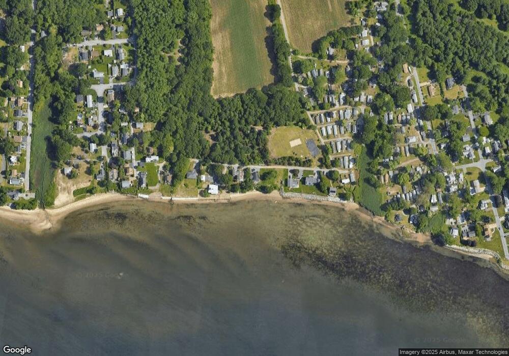
Map
Nearby Homes
- 311 Capron Farm Dr
- 5 Mill Wheel Rd
- 110 Wethersfield Dr
- 151 Wethersfield Dr
- 52 Inez Ave
- 132 Bakers Creek Rd
- 45 Juniper Ave
- 78 Keeley Ave
- 345 Nausauket Rd
- 28 Bakers Creek Rd
- 161 Sunny Cove Dr
- 288 Cove Ave
- 85 Union Ave
- 199 Cottage Grove Ave
- 62 Stone Ave
- 183 Shand Ave
- 206 Reynolds Ave
- 191 Canfield Ave
- 0 Sea View Dr
- 209 Wood St
- 607 Budlong Farm Rd
- 105 Budlong Farm Rd
- 135 Budlong Farm Rd
- 10 Budlong Farm Rd
- 10W Budlong Farm Rd
- 123 Budlong Farm Rd
- 3 W Budlong Farm Rd
- 11 Budlong Farm Rd
- 25 Budlong Farm Rd
- 22 Budlong Farm Rd
- 342 Claypool Dr
- 152 Budlong Farm Rd
- 346 Claypool Dr
- 15 Budlong Farm Rd
- 100 Budlong Farm Rd
- 360 Claypool Dr
- 16 Budlong Farm Rd
- 18 Budlong Farm Rd
- 334 Claypool Dr
- 23 Andrew Comstock Rd