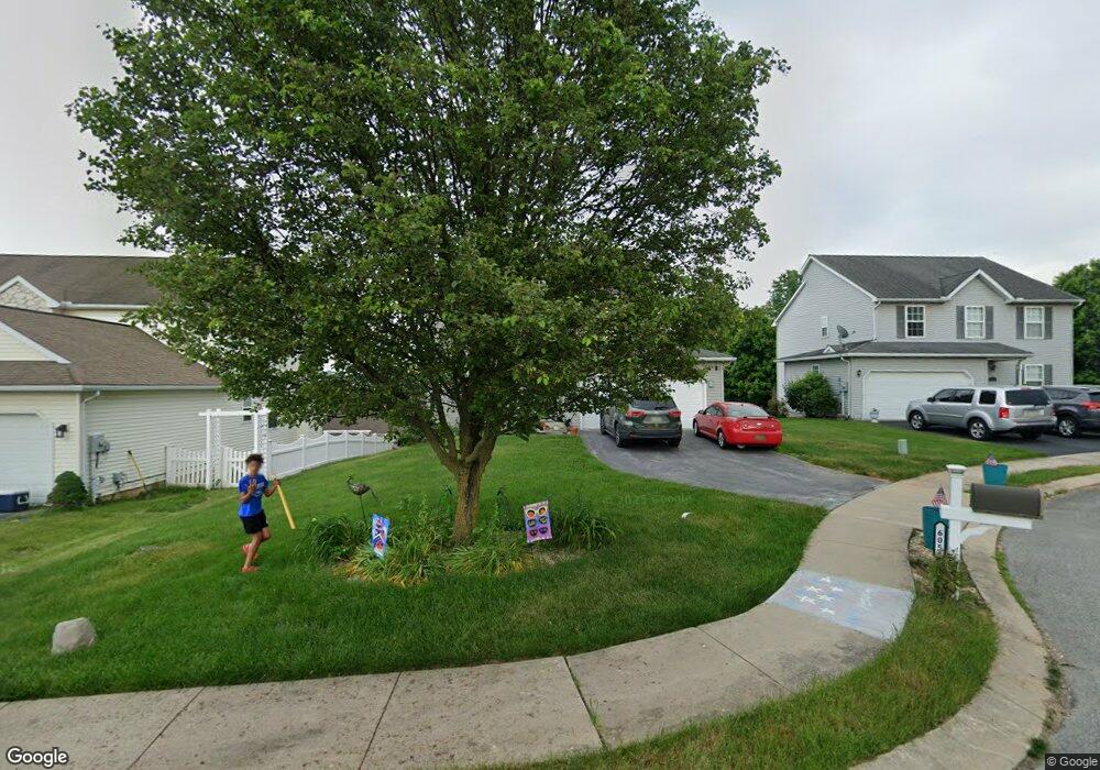
605 Butterfly Cir Dallastown, PA 17313
Estimated Value: $330,000 - $360,000
4
Beds
3
Baths
1,920
Sq Ft
$179/Sq Ft
Est. Value
About This Home
This home is located at 605 Butterfly Cir, Dallastown, PA 17313 and is currently estimated at $342,998, approximately $178 per square foot. 605 Butterfly Cir is a home located in York County with nearby schools including Ore Valley Elementary School, Dallastown Area Middle School, and Dallastown Area High School.
Ownership History
Date
Name
Owned For
Owner Type
Purchase Details
Closed on
Apr 29, 2009
Sold by
Breneman Cindy L and Breneman Timothy S
Bought by
Smith Nicole L
Current Estimated Value
Home Financials for this Owner
Home Financials are based on the most recent Mortgage that was taken out on this home.
Original Mortgage
$199,908
Outstanding Balance
$126,374
Interest Rate
4.86%
Mortgage Type
FHA
Estimated Equity
$216,624
Purchase Details
Closed on
Nov 27, 2002
Sold by
First Avalong Lp
Bought by
Senft Cindy L
Home Financials for this Owner
Home Financials are based on the most recent Mortgage that was taken out on this home.
Original Mortgage
$125,858
Interest Rate
6.34%
Mortgage Type
Purchase Money Mortgage
Create a Home Valuation Report for This Property
The Home Valuation Report is an in-depth analysis detailing your home's value as well as a comparison with similar homes in the area
Home Values in the Area
Average Home Value in this Area
Purchase History
| Date | Buyer | Sale Price | Title Company |
|---|---|---|---|
| Smith Nicole L | $203,600 | Chicago Title Insurance Co | |
| Senft Cindy L | $157,323 | -- |
Source: Public Records
Mortgage History
| Date | Status | Borrower | Loan Amount |
|---|---|---|---|
| Open | Smith Nicole L | $199,908 | |
| Previous Owner | Senft Cindy L | $125,858 | |
| Closed | Senft Cindy L | $10,500 |
Source: Public Records
Tax History Compared to Growth
Tax History
| Year | Tax Paid | Tax Assessment Tax Assessment Total Assessment is a certain percentage of the fair market value that is determined by local assessors to be the total taxable value of land and additions on the property. | Land | Improvement |
|---|---|---|---|---|
| 2025 | $6,092 | $177,470 | $34,550 | $142,920 |
| 2024 | $6,003 | $177,470 | $34,550 | $142,920 |
| 2023 | $6,003 | $177,470 | $34,550 | $142,920 |
| 2022 | $5,807 | $177,470 | $34,550 | $142,920 |
| 2021 | $5,532 | $177,470 | $34,550 | $142,920 |
| 2020 | $5,532 | $177,470 | $34,550 | $142,920 |
| 2019 | $5,514 | $177,470 | $34,550 | $142,920 |
| 2018 | $5,477 | $177,470 | $34,550 | $142,920 |
| 2017 | $5,258 | $177,470 | $34,550 | $142,920 |
| 2016 | $0 | $177,470 | $34,550 | $142,920 |
| 2015 | -- | $177,470 | $34,550 | $142,920 |
| 2014 | -- | $177,470 | $34,550 | $142,920 |
Source: Public Records
Map
Nearby Homes
- 2981 Sunset Dr
- 263 W Main St
- 53 S Franklin St
- 79 S Franklin St
- 141 W Water St
- 74 S Main St
- 197 S Main St
- 55 Belmar Dr
- 114 Heather Glen Dr
- 18 E Howard St
- 195 Coventry Rd
- 374 Avon Dr Unit 282
- 350 Avon Dr Unit 270
- 443 Bradford Dr Unit 183
- 439 Bradford Dr Unit 185
- 437 Bradford Dr Unit 186
- 435 Bradford Dr Unit 187
- 433 Bradford Dr Unit 188
- 444 Bradford Dr Unit 55
- 438 Bradford Dr Unit 58
- 603 Butterfly Cir
- 607 Butterfly Cir
- 601 Butterfly Cir
- 626 Blossom Hill Ln
- 609 Butterfly Cir Unit 116
- 609 Butterfly Cir
- 622 Blossom Hill Ln
- 630 Blossom Hill Ln
- 634 Blossom Hill Ln
- 618 Blossom Hill Ln
- 602 Butterfly Cir
- 604 Butterfly Cir
- 611 Butterfly Cir
- 600 Butterfly Cir
- 610 Butterfly Cir
- 606 Butterfly Cir
- 608 Butterfly Cir
- 638 Blossom Hill Ln
- 633 Harvest Dr
- 642 Blossom Hill Ln