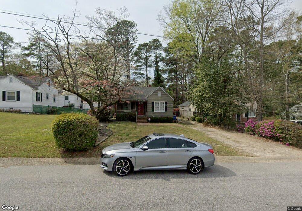
605 Cape Fear Ave Fayetteville, NC 28303
Terry Sanford NeighborhoodEstimated Value: $137,000 - $184,000
2
Beds
1
Bath
994
Sq Ft
$167/Sq Ft
Est. Value
About This Home
This home is located at 605 Cape Fear Ave, Fayetteville, NC 28303 and is currently estimated at $165,640, approximately $166 per square foot. 605 Cape Fear Ave is a home located in Cumberland County with nearby schools including Alma O Easom Elementary, Vanstory Hills Elementary School, and R. Max Abbott Middle School.
Ownership History
Date
Name
Owned For
Owner Type
Purchase Details
Closed on
Mar 4, 2005
Sold by
Graves Micah J
Bought by
Kellum Jason S
Current Estimated Value
Home Financials for this Owner
Home Financials are based on the most recent Mortgage that was taken out on this home.
Original Mortgage
$67,925
Outstanding Balance
$34,413
Interest Rate
5.6%
Mortgage Type
New Conventional
Estimated Equity
$131,227
Create a Home Valuation Report for This Property
The Home Valuation Report is an in-depth analysis detailing your home's value as well as a comparison with similar homes in the area
Home Values in the Area
Average Home Value in this Area
Purchase History
| Date | Buyer | Sale Price | Title Company |
|---|---|---|---|
| Kellum Jason S | $71,500 | -- |
Source: Public Records
Mortgage History
| Date | Status | Borrower | Loan Amount |
|---|---|---|---|
| Open | Kellum Jason S | $67,925 | |
| Closed | Kellum Jason S | $67,925 |
Source: Public Records
Tax History Compared to Growth
Tax History
| Year | Tax Paid | Tax Assessment Tax Assessment Total Assessment is a certain percentage of the fair market value that is determined by local assessors to be the total taxable value of land and additions on the property. | Land | Improvement |
|---|---|---|---|---|
| 2024 | $2,360 | $99,866 | $41,250 | $58,616 |
| 2023 | $2,084 | $99,866 | $41,250 | $58,616 |
| 2022 | $1,855 | $99,866 | $41,250 | $58,616 |
| 2021 | $1,855 | $99,866 | $41,250 | $58,616 |
| 2019 | $1,820 | $115,700 | $41,250 | $74,450 |
| 2018 | $1,820 | $115,700 | $41,250 | $74,450 |
| 2017 | $1,717 | $115,700 | $41,250 | $74,450 |
| 2016 | $1,564 | $115,100 | $41,250 | $73,850 |
| 2015 | $1,548 | $115,100 | $41,250 | $73,850 |
| 2014 | $1,541 | $115,100 | $41,250 | $73,850 |
Source: Public Records
Map
Nearby Homes
- 626 Cape Fear Ave
- 725 Greenland Dr
- 816 Pilot Ave
- 933 Creek Side Run
- 714 Westmont Dr
- 523 Westmont Dr
- 717 Glenwood Dr
- 703 Glenwood Dr
- 831 Anarine Rd
- 704 Glenwood Dr
- 1416 Briarcliff Dr Unit 1, 2, 3
- 2128 Elvira St
- 0 Fort Bragg Rd
- 1412, 1414 Briarcliff Dr
- 1404 Briarcliff Dr Unit 1404, 1406, 1408, 14
- 1400 & 1402 Briarcliff Dr Unit 1400 A/B, 1402
- 719 Kooler Cir
- 1808 Queen St
- 611 Cape Fear Ave
- 604 Cape Fear Ave
- 701 Queen St
- 606 Cape Fear Ave
- 602 Pilot Ave
- 1708 Queen St
- 608 Cape Fear Ave
- 604 Pilot Ave
- 600 Pilot Ave
- 613 Cape Fear Ave
- 606 Pilot Ave
- 1803 Queen St
- 1801 Queen St
- 610 Cape Fear Ave
- 1706 Queen St
- 608 Pilot Ave
- 1809 Queen St
- 615 Cape Fear Ave
- 615 Cape Fear Ave Unit C