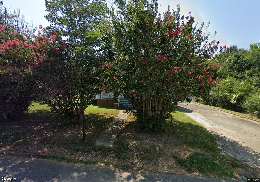
605 Don Ave Anderson, SC 29624
Estimated Value: $69,000 - $99,000
3
Beds
--
Bath
1,128
Sq Ft
$79/Sq Ft
Est. Value
About This Home
This home is located at 605 Don Ave, Anderson, SC 29624 and is currently estimated at $89,200, approximately $79 per square foot. 605 Don Ave is a home located in Anderson County with nearby schools including Varennes Elementary School, Robert Anderson Middle School, and Westside High School.
Ownership History
Date
Name
Owned For
Owner Type
Purchase Details
Closed on
Aug 30, 2018
Sold by
Taylor Peggy Cordell and Taliafero Barbara
Bought by
Biggs Dillon K and Barnett Donna A
Current Estimated Value
Home Financials for this Owner
Home Financials are based on the most recent Mortgage that was taken out on this home.
Original Mortgage
$33,250
Outstanding Balance
$28,936
Interest Rate
4.5%
Mortgage Type
New Conventional
Estimated Equity
$60,264
Purchase Details
Closed on
Nov 14, 2006
Sold by
Cordell Viola Smith
Bought by
Taylor Peggy Cordell and Taliaferro Barbara
Create a Home Valuation Report for This Property
The Home Valuation Report is an in-depth analysis detailing your home's value as well as a comparison with similar homes in the area
Home Values in the Area
Average Home Value in this Area
Purchase History
| Date | Buyer | Sale Price | Title Company |
|---|---|---|---|
| Biggs Dillon K | $35,000 | None Available | |
| Taylor Peggy Cordell | -- | None Available | |
| Cordell Viola Smith | -- | None Available |
Source: Public Records
Mortgage History
| Date | Status | Borrower | Loan Amount |
|---|---|---|---|
| Open | Biggs Dillon K | $33,250 |
Source: Public Records
Tax History Compared to Growth
Tax History
| Year | Tax Paid | Tax Assessment Tax Assessment Total Assessment is a certain percentage of the fair market value that is determined by local assessors to be the total taxable value of land and additions on the property. | Land | Improvement |
|---|---|---|---|---|
| 2024 | $267 | $1,500 | $200 | $1,300 |
| 2023 | $267 | $1,500 | $200 | $1,300 |
| 2022 | $237 | $1,500 | $200 | $1,300 |
| 2021 | $233 | $1,390 | $140 | $1,250 |
| 2020 | $228 | $1,390 | $140 | $1,250 |
| 2019 | $228 | $1,390 | $140 | $1,250 |
| 2018 | $644 | $1,810 | $210 | $1,600 |
| 2017 | -- | $1,810 | $210 | $1,600 |
| 2016 | $694 | $2,010 | $270 | $1,740 |
| 2015 | $699 | $2,010 | $270 | $1,740 |
| 2014 | $684 | $2,010 | $270 | $1,740 |
Source: Public Records
Map
Nearby Homes
- 16 N Prince St
- 6 Herring Ave
- 1606 S Murray Avenue Extension
- 46 S Lyons St
- 612 Martha Dr
- 1619 Nardin Ave
- 1502 Nardin Ave
- 1609 S Mcduffie St
- 310 W Hampton St
- 308 W Hampton St
- 1103 Scott Dr
- 431 Lewis St
- 00 Hwy 28 Bypass New Pond Rd
- 701 Delia St
- 701 Delia St Unit B
- 701 Delia St Unit A
- 1413 S Mcduffie St
- 1709 Lyndon Ave
- 1411 S Mcduffie St
- 1616 Meadowbrook Cir