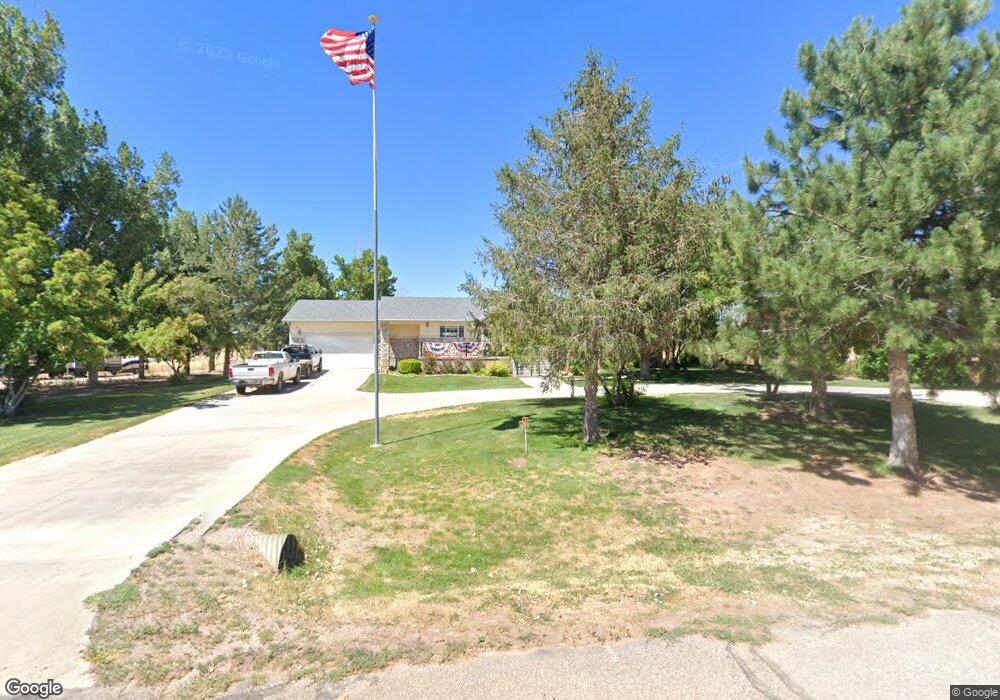
605 E 100 S Meadow, UT 84644
Estimated Value: $302,000
Studio
--
Bath
--
Sq Ft
22,651
Sq Ft
About This Home
This home is located at 605 E 100 S, Meadow, UT 84644 and is currently estimated at $302,000. 605 E 100 S is a home.
Ownership History
Date
Name
Owned For
Owner Type
Purchase Details
Closed on
Dec 15, 2025
Sold by
Mundy William Dustun and Mundy Diane B
Bought by
Mundy Ryan Dustun
Current Estimated Value
Purchase Details
Closed on
Dec 3, 2012
Sold by
Mundy William Dustun
Bought by
Mundy William Dustun and Mundy Diane B
Home Financials for this Owner
Home Financials are based on the most recent Mortgage that was taken out on this home.
Original Mortgage
$202,500
Interest Rate
3.35%
Mortgage Type
New Conventional
Purchase Details
Closed on
Oct 24, 2005
Sold by
Mundy William Dustun and Mundy Daine B
Bought by
Mundy William Duston
Create a Home Valuation Report for This Property
The Home Valuation Report is an in-depth analysis detailing your home's value as well as a comparison with similar homes in the area
Purchase History
| Date | Buyer | Sale Price | Title Company |
|---|---|---|---|
| Mundy Ryan Dustun | -- | None Listed On Document | |
| Mundy William Dustun | -- | Juab Title & Abstract | |
| Mundy William Duston | -- | Equity Title Insurance Agenc |
Source: Public Records
Mortgage History
| Date | Status | Borrower | Loan Amount |
|---|---|---|---|
| Previous Owner | Mundy William Dustun | $202,500 |
Source: Public Records
Tax History
| Year | Tax Paid | Tax Assessment Tax Assessment Total Assessment is a certain percentage of the fair market value that is determined by local assessors to be the total taxable value of land and additions on the property. | Land | Improvement |
|---|---|---|---|---|
| 2025 | $2,395 | $307,893 | $21,780 | $286,113 |
| 2024 | $2,395 | $304,437 | $10,593 | $293,844 |
| 2023 | $3,038 | $304,437 | $10,593 | $293,844 |
| 2022 | $2,324 | $214,252 | $8,683 | $205,569 |
| 2021 | $1,567 | $137,983 | $7,550 | $130,433 |
| 2020 | $1,405 | $124,628 | $6,292 | $118,336 |
| 2019 | $1,228 | $109,117 | $5,720 | $103,397 |
| 2018 | $1,197 | $109,117 | $5,720 | $103,397 |
| 2017 | $1,251 | $109,117 | $5,720 | $103,397 |
| 2016 | $1,104 | $99,728 | $5,720 | $94,008 |
| 2015 | $1,105 | $99,728 | $5,720 | $94,008 |
| 2014 | -- | $99,728 | $5,720 | $94,008 |
| 2013 | -- | $99,728 | $5,720 | $94,008 |
Source: Public Records
Map
Nearby Homes
- 50 N 100 Rd E
- 1565 W Sunflower Ln Unit 3
- 1615 W Sunflower Ln
- 1615 W Sunflower Ln Unit 4
- 1565 W Sunflower Ln
- 2000 N West Frontage I-15
- 1100 S 725 Rd W
- 135 E 200 N
- 310 S 500 West Rd
- 465 S 100 W
- 58 E 300 South St
- 155 E 500 St S
- 157 E 500 South St
- 190 S 200 W
- 351 W 100 South St
- 405 E 500 St S
- 155 W Center St
- 775 E Valley View Rd
- 235 S 200 St E
- 690 E 500 S
Your Personal Tour Guide
Ask me questions while you tour the home.