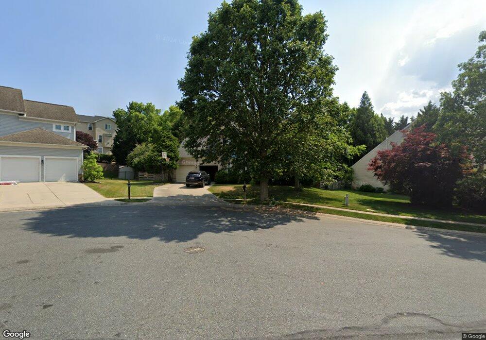
605 Falkirk Ct Abingdon, MD 21009
Estimated Value: $548,402 - $673,000
--
Bed
3
Baths
2,346
Sq Ft
$252/Sq Ft
Est. Value
About This Home
This home is located at 605 Falkirk Ct, Abingdon, MD 21009 and is currently estimated at $590,851, approximately $251 per square foot. 605 Falkirk Ct is a home located in Harford County with nearby schools including Emmorton Elementary School, Bel Air Middle School, and Bel Air High School.
Ownership History
Date
Name
Owned For
Owner Type
Purchase Details
Closed on
Sep 27, 2002
Sold by
Temperly Gregery
Bought by
Sauer Francis Brian and Sauer Andrea
Current Estimated Value
Purchase Details
Closed on
Aug 22, 2001
Sold by
Escasa Edward
Bought by
Temperly Gregery and Temperly Kimberly
Purchase Details
Closed on
Jun 5, 2000
Sold by
Posner Victor
Bought by
Escasa Edward
Create a Home Valuation Report for This Property
The Home Valuation Report is an in-depth analysis detailing your home's value as well as a comparison with similar homes in the area
Home Values in the Area
Average Home Value in this Area
Purchase History
| Date | Buyer | Sale Price | Title Company |
|---|---|---|---|
| Sauer Francis Brian | $267,900 | -- | |
| Temperly Gregery | $230,000 | -- | |
| Escasa Edward | $218,130 | -- |
Source: Public Records
Mortgage History
| Date | Status | Borrower | Loan Amount |
|---|---|---|---|
| Closed | Escasa Edward | -- |
Source: Public Records
Tax History Compared to Growth
Tax History
| Year | Tax Paid | Tax Assessment Tax Assessment Total Assessment is a certain percentage of the fair market value that is determined by local assessors to be the total taxable value of land and additions on the property. | Land | Improvement |
|---|---|---|---|---|
| 2025 | $4,445 | $438,033 | $0 | $0 |
| 2024 | $4,445 | $407,867 | $0 | $0 |
| 2023 | $4,117 | $377,700 | $102,500 | $275,200 |
| 2022 | $4,012 | $368,067 | $0 | $0 |
| 2021 | $12,146 | $358,433 | $0 | $0 |
| 2020 | $4,025 | $348,800 | $102,500 | $246,300 |
| 2019 | $140 | $341,700 | $0 | $0 |
| 2018 | $3,861 | $334,600 | $0 | $0 |
| 2017 | $3,010 | $327,500 | $0 | $0 |
| 2016 | $140 | $321,867 | $0 | $0 |
| 2015 | $3,868 | $316,233 | $0 | $0 |
| 2014 | $3,868 | $310,600 | $0 | $0 |
Source: Public Records
Map
Nearby Homes
- 566 Kirkcaldy Way
- 2919 Lomond Place
- 2114 Kyle Green Rd
- 2216 Palustris Ln
- 526 Callander Way
- 2815 Lanarkshire Way
- 714 Shallow Ridge Ct
- 301 Tiree Ct Unit 303
- 2300 Arthurs Woods Dr
- 3110 Tipton Way
- 322 Overlea Place
- 329 Sunray Ct
- 213 High Meadow Terrace
- 339 Overlea Place
- 634 Nanticoke Ct
- 322 Delmar Ct
- 384 Foreland Garth
- Parkland Plan at Bell's Tower - Bell's Tower
- 221 Glen View Terrace
- 2310 Bell's Tower Ct Unit 5
- 607 Falkirk Ct
- 608 Forfar Ct
- 606 Forfar Ct
- 609 Falkirk Ct
- 604 Forfar Ct
- 601 Falkirk Ct
- 602 Falkirk Ct
- 600 Falkirk Ct
- 604 Falkirk Ct
- 700 Royal Mile Dr
- 606 Falkirk Ct
- 602 Forfar Ct
- 609 Forfar Ct
- 608 Falkirk Ct
- 702 Royal Mile Dr
- 610 Falkirk Ct
- 605 Forfar Ct
- 607 Forfar Ct
- 701 Royal Mile Dr
- 704 Royal Mile Dr