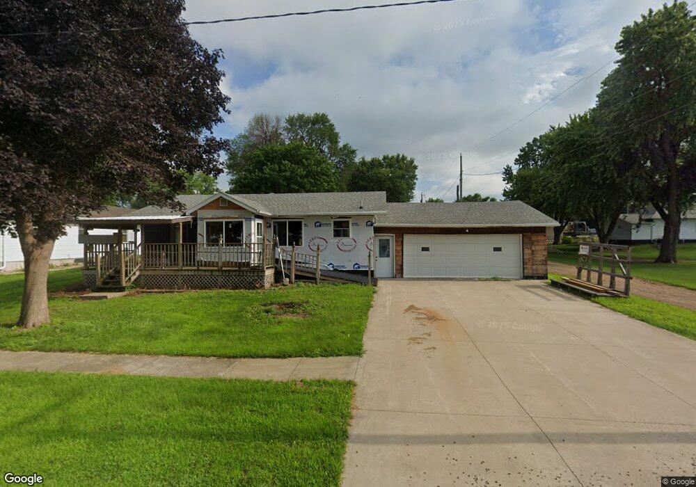
605 Leland St Little Rock, IA 51243
Estimated Value: $41,000 - $106,430
--
Bed
1
Bath
1,064
Sq Ft
$71/Sq Ft
Est. Value
About This Home
This home is located at 605 Leland St, Little Rock, IA 51243 and is currently estimated at $75,608, approximately $71 per square foot. 605 Leland St is a home located in Lyon County with nearby schools including George-Little Rock Senior High School.
Ownership History
Date
Name
Owned For
Owner Type
Purchase Details
Closed on
Sep 13, 2024
Sold by
Eich Paul E
Bought by
Wynia Craig and Wynia Kay
Current Estimated Value
Home Financials for this Owner
Home Financials are based on the most recent Mortgage that was taken out on this home.
Original Mortgage
$30,000
Outstanding Balance
$29,655
Interest Rate
6.35%
Mortgage Type
Credit Line Revolving
Estimated Equity
$45,953
Purchase Details
Closed on
Jul 27, 2012
Sold by
Arends Blake
Bought by
Eich Paul E
Purchase Details
Closed on
Jun 6, 2011
Sold by
Houtsma Bertha J and Houtsma Algene
Bought by
Arends Blake
Home Financials for this Owner
Home Financials are based on the most recent Mortgage that was taken out on this home.
Original Mortgage
$24,000
Interest Rate
4%
Mortgage Type
Adjustable Rate Mortgage/ARM
Create a Home Valuation Report for This Property
The Home Valuation Report is an in-depth analysis detailing your home's value as well as a comparison with similar homes in the area
Home Values in the Area
Average Home Value in this Area
Purchase History
| Date | Buyer | Sale Price | Title Company |
|---|---|---|---|
| Wynia Craig | $40,000 | None Listed On Document | |
| Eich Paul E | $33,000 | None Available | |
| Arends Blake | $30,000 | None Available |
Source: Public Records
Mortgage History
| Date | Status | Borrower | Loan Amount |
|---|---|---|---|
| Open | Wynia Craig | $30,000 | |
| Previous Owner | Arends Blake | $24,000 |
Source: Public Records
Tax History Compared to Growth
Tax History
| Year | Tax Paid | Tax Assessment Tax Assessment Total Assessment is a certain percentage of the fair market value that is determined by local assessors to be the total taxable value of land and additions on the property. | Land | Improvement |
|---|---|---|---|---|
| 2025 | $686 | $81,290 | $5,280 | $76,010 |
| 2024 | $686 | $65,570 | $5,360 | $60,210 |
| 2023 | $634 | $65,570 | $5,360 | $60,210 |
| 2022 | $638 | $51,140 | $5,360 | $45,780 |
| 2021 | $638 | $51,140 | $5,360 | $45,780 |
| 2020 | $534 | $41,920 | $5,360 | $36,560 |
| 2019 | $528 | $40,050 | $0 | $0 |
| 2018 | $508 | $40,050 | $0 | $0 |
| 2017 | $508 | $34,390 | $0 | $0 |
| 2016 | $396 | $34,390 | $0 | $0 |
| 2015 | $396 | $35,506 | $0 | $0 |
| 2014 | $386 | $34,485 | $0 | $0 |
Source: Public Records
Map
Nearby Homes
- 323 Section Line Rd
- 315 Section Line Rd
- 607 Leland St
- 306 Section Line Rd
- 310 1st Ave
- 601 Leland St
- 303 Section Line Rd
- 701 Leland St
- 411 Section Line Rd
- 410 1st Ave
- 315 1st Ave
- 701 Lyon St
- 703 Leland St
- 414 1st Ave
- 507 Leland St
- 222 1st Ave
- 423 Section Line Rd
- 507 Lyon St
- 418 Section Line Rd
- 705 Lyon St