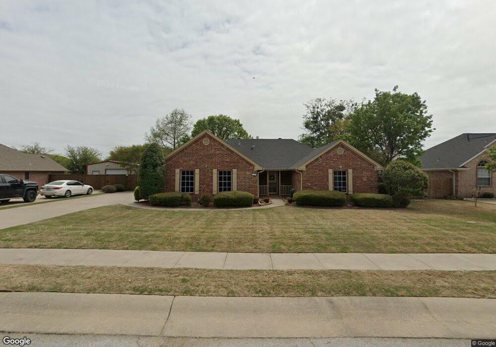
605 Maple Dr Pilot Point, TX 76258
Estimated Value: $329,682 - $376,000
3
Beds
2
Baths
1,734
Sq Ft
$199/Sq Ft
Est. Value
About This Home
This home is located at 605 Maple Dr, Pilot Point, TX 76258 and is currently estimated at $344,671, approximately $198 per square foot. 605 Maple Dr is a home located in Denton County with nearby schools including Pilot Point Early Childhood Center, Pilot Point Elementary School, and Pilot Point Middle School.
Ownership History
Date
Name
Owned For
Owner Type
Purchase Details
Closed on
Jan 30, 2025
Sold by
Wilson Earlane
Bought by
Wilson Earlane and Davis Sheryl Ann
Current Estimated Value
Purchase Details
Closed on
May 22, 2015
Sold by
Welding Kerry
Bought by
Wilson Earlane
Purchase Details
Closed on
Sep 29, 2011
Sold by
Nosek Linda Mae
Bought by
Welding Michael T
Home Financials for this Owner
Home Financials are based on the most recent Mortgage that was taken out on this home.
Original Mortgage
$131,577
Interest Rate
4.25%
Mortgage Type
FHA
Purchase Details
Closed on
Jun 17, 2008
Sold by
Nosek Blanche E
Bought by
Nosek Linda Mae
Create a Home Valuation Report for This Property
The Home Valuation Report is an in-depth analysis detailing your home's value as well as a comparison with similar homes in the area
Home Values in the Area
Average Home Value in this Area
Purchase History
| Date | Buyer | Sale Price | Title Company |
|---|---|---|---|
| Wilson Earlane | -- | None Listed On Document | |
| Wilson Earlane | -- | Reunion Title | |
| Welding Michael T | -- | Reunion Title | |
| Nosek Linda Mae | -- | None Available |
Source: Public Records
Mortgage History
| Date | Status | Borrower | Loan Amount |
|---|---|---|---|
| Previous Owner | Welding Michael T | $131,577 |
Source: Public Records
Tax History
| Year | Tax Paid | Tax Assessment Tax Assessment Total Assessment is a certain percentage of the fair market value that is determined by local assessors to be the total taxable value of land and additions on the property. | Land | Improvement |
|---|---|---|---|---|
| 2025 | $1,232 | $339,008 | $91,800 | $247,208 |
| 2024 | $5,897 | $327,562 | $0 | $0 |
| 2023 | $1,232 | $297,784 | $91,800 | $279,847 |
| 2022 | $5,566 | $270,713 | $81,000 | $220,097 |
| 2021 | $5,078 | $246,103 | $58,860 | $187,243 |
| 2020 | $4,869 | $234,318 | $58,860 | $175,458 |
| 2019 | $4,774 | $222,857 | $58,860 | $181,402 |
| 2018 | $4,395 | $202,597 | $58,860 | $157,634 |
| 2017 | $4,007 | $184,179 | $46,980 | $148,890 |
| 2016 | $3,643 | $167,435 | $37,800 | $129,635 |
| 2015 | $2,849 | $156,946 | $37,800 | $119,146 |
| 2013 | -- | $145,413 | $37,800 | $107,613 |
Source: Public Records
Map
Nearby Homes
- 1301 N Saint Charles Ave
- 604 Cedar Dr
- 792 E Northside Dr
- 561 Randys Way
- 710 Primrose Ln
- 0000 N Washington St
- 597 Mb's Way
- 589 Mb's Way
- 729 Amelia Ct
- 626 Ruthye Ln
- 723 Primrose Ln
- 551 Ruthye Ln
- 829 Primrose Ln
- 467 Mb's Way
- 736 Carson Ln
- 754 Carson Ln
- 449 Mb's Way
- 443 Mb's Way
- 812 Primrose Ln
- 437 Mb's Way
Your Personal Tour Guide
Ask me questions while you tour the home.