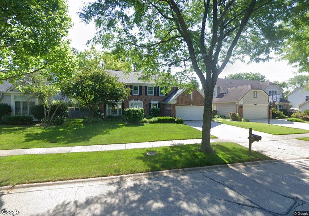
605 Mayfair Ln Buffalo Grove, IL 60089
South Buffalo Grove NeighborhoodEstimated Value: $559,337 - $625,000
3
Beds
3
Baths
2,432
Sq Ft
$246/Sq Ft
Est. Value
About This Home
This home is located at 605 Mayfair Ln, Buffalo Grove, IL 60089 and is currently estimated at $598,334, approximately $246 per square foot. 605 Mayfair Ln is a home located in Cook County with nearby schools including Joyce Kilmer Elementary School, Cooper Middle School, and Buffalo Grove High School.
Ownership History
Date
Name
Owned For
Owner Type
Purchase Details
Closed on
Jul 27, 2016
Sold by
Aschoff Philip S and Aschoff Cynthia S
Bought by
Aschoff Phillip S and Aschoff Cynthia S
Current Estimated Value
Purchase Details
Closed on
Sep 2, 1993
Sold by
Danielson William H and Danielson Kimberly A
Bought by
Aschoff Philip S and Aschoff Cynthia S
Home Financials for this Owner
Home Financials are based on the most recent Mortgage that was taken out on this home.
Original Mortgage
$237,000
Interest Rate
7.24%
Create a Home Valuation Report for This Property
The Home Valuation Report is an in-depth analysis detailing your home's value as well as a comparison with similar homes in the area
Home Values in the Area
Average Home Value in this Area
Purchase History
| Date | Buyer | Sale Price | Title Company |
|---|---|---|---|
| Aschoff Phillip S | -- | Attorney | |
| Aschoff Philip S | $184,666 | -- |
Source: Public Records
Mortgage History
| Date | Status | Borrower | Loan Amount |
|---|---|---|---|
| Closed | Aschoff Philip S | $237,000 |
Source: Public Records
Tax History Compared to Growth
Tax History
| Year | Tax Paid | Tax Assessment Tax Assessment Total Assessment is a certain percentage of the fair market value that is determined by local assessors to be the total taxable value of land and additions on the property. | Land | Improvement |
|---|---|---|---|---|
| 2024 | $10,947 | $40,170 | $10,500 | $29,670 |
| 2023 | $10,474 | $40,170 | $10,500 | $29,670 |
| 2022 | $10,474 | $40,170 | $10,500 | $29,670 |
| 2021 | $10,320 | $35,205 | $7,437 | $27,768 |
| 2020 | $12,610 | $39,779 | $7,437 | $32,342 |
| 2019 | $12,638 | $44,248 | $7,437 | $36,811 |
| 2018 | $13,824 | $43,576 | $6,562 | $37,014 |
| 2017 | $13,590 | $43,576 | $6,562 | $37,014 |
| 2016 | $12,902 | $43,576 | $6,562 | $37,014 |
| 2015 | $11,319 | $35,941 | $5,687 | $30,254 |
| 2014 | $11,150 | $35,941 | $5,687 | $30,254 |
| 2013 | $10,289 | $35,941 | $5,687 | $30,254 |
Source: Public Records
Map
Nearby Homes
- 665 Thornwood Dr
- 455 Mayfair Ln
- 476 Raupp Blvd
- 234 Mohawk Trail
- 250 Old Oak Dr Unit 275
- 310 Rosewood Ave
- 535 Estate Dr
- 443 Diane Dr
- 820 Weidner Rd Unit 409
- 410 Chatham Cir
- 813 Stradford Cir Unit 21B2
- 10 Old Oak Dr Unit 103
- 859 Beechwood Rd
- 561 Park View Terrace Unit 153
- 51 Old Oak Dr Unit 414
- 51 Old Oak Dr Unit 302
- 3401 N Ellen Dr
- 3300 N Carriageway Dr Unit 317
- 183 Saint Marys Pkwy
- 98 Glendale Rd