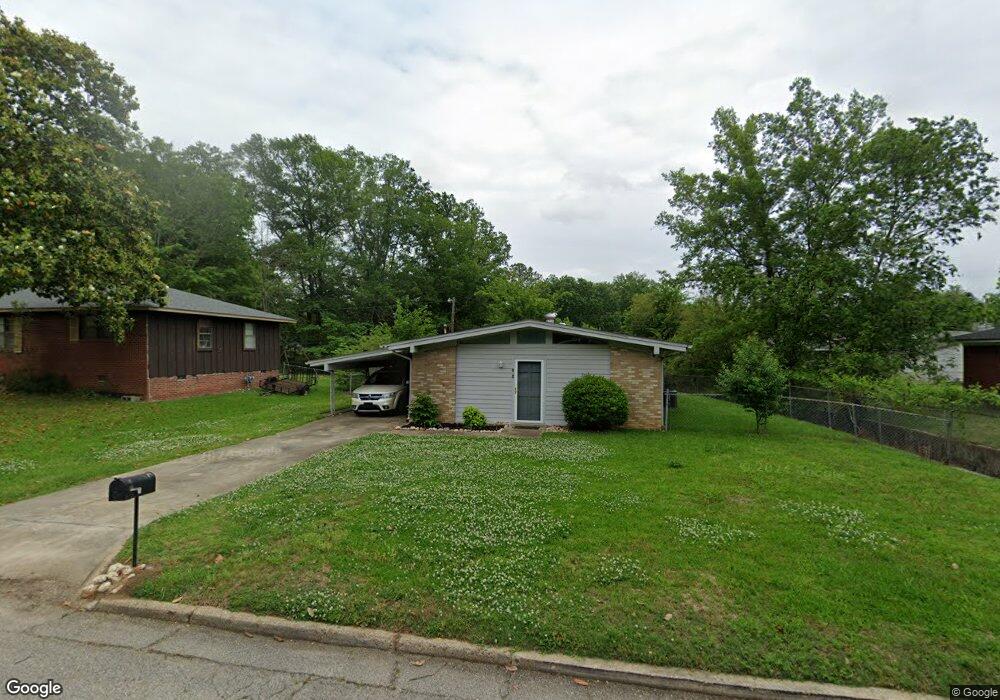
605 Meeks St Tupelo, MI 38801
Thomas Street NeighborhoodEstimated Value: $95,000 - $132,000
2
Beds
1
Bath
1,018
Sq Ft
$115/Sq Ft
Est. Value
About This Home
This home is located at 605 Meeks St, Tupelo, MI 38801 and is currently estimated at $116,995, approximately $114 per square foot. 605 Meeks St is a home located in Lee County with nearby schools including Thomas Street Elementary School, Pierce Street Elementary School, and Tupelo Middle School.
Ownership History
Date
Name
Owned For
Owner Type
Purchase Details
Closed on
Apr 11, 2018
Bought by
Monaghan Gilbert R
Current Estimated Value
Purchase Details
Closed on
Oct 22, 2015
Bought by
Shutiok Frances and Shutiok Deborah
Purchase Details
Closed on
Mar 17, 2009
Sold by
Satterfield Enterprises Llc
Bought by
Monaghan Gilbert Ray
Home Financials for this Owner
Home Financials are based on the most recent Mortgage that was taken out on this home.
Original Mortgage
$34,560
Interest Rate
4.97%
Create a Home Valuation Report for This Property
The Home Valuation Report is an in-depth analysis detailing your home's value as well as a comparison with similar homes in the area
Home Values in the Area
Average Home Value in this Area
Purchase History
| Date | Buyer | Sale Price | Title Company |
|---|---|---|---|
| Monaghan Gilbert R | $43,000 | -- | |
| Shutiok Frances | -- | -- | |
| Monaghan Gilbert Ray | -- | -- |
Source: Public Records
Mortgage History
| Date | Status | Borrower | Loan Amount |
|---|---|---|---|
| Previous Owner | Monaghan Gilbert Ray | $34,560 |
Source: Public Records
Tax History
| Year | Tax Paid | Tax Assessment Tax Assessment Total Assessment is a certain percentage of the fair market value that is determined by local assessors to be the total taxable value of land and additions on the property. | Land | Improvement |
|---|---|---|---|---|
| 2025 | $1,247 | $9,173 | $0 | $0 |
| 2024 | $1,247 | $9,173 | $0 | $0 |
| 2023 | $1,099 | $8,058 | $0 | $0 |
| 2022 | $1,078 | $8,058 | $0 | $0 |
| 2021 | $1,078 | $8,058 | $0 | $0 |
| 2020 | $1,078 | $8,058 | $0 | $0 |
| 2019 | $1,041 | $7,778 | $0 | $0 |
| 2018 | $1,036 | $7,739 | $0 | $0 |
| 2017 | $344 | $5,159 | $0 | $0 |
| 2016 | $344 | $5,159 | $0 | $0 |
| 2015 | $936 | $7,046 | $0 | $0 |
| 2014 | $936 | $7,046 | $0 | $0 |
Source: Public Records
Map
Nearby Homes
- 610 Trout St
- 405 S Foster Dr
- 219 Lakeview Dr
- 401 S Foster Dr
- 2404 Crestwood Dr
- 503 S Thomas St
- 214 Nanney Dr
- 2306 Woods St
- Lot 26 Spring Lake (Jasmine)
- 1603 Boggan Dr
- 2516 Hampton Ave
- 1006 Clover Cove
- 1527 Boggan Dr
- 914 Dogwood Dr
- 1523 Boggan Dr
- 404 Smith St
- 400 Smith St
- 9 Cambridge Dr
- 302 Hillfield Cove
- 1207 Harrison St
Your Personal Tour Guide
Ask me questions while you tour the home.