605 Middle St Unit 14 Braintree, MA 02184
East Braintree NeighborhoodEstimated Value: $632,866 - $743,000
2
Beds
3
Baths
1,890
Sq Ft
$367/Sq Ft
Est. Value
About This Home
This home is located at 605 Middle St Unit 14, Braintree, MA 02184 and is currently estimated at $692,967, approximately $366 per square foot. 605 Middle St Unit 14 is a home located in Norfolk County with nearby schools including Braintree High School, Sacred Heart Elementary School, and Thayer Academy.
Ownership History
Date
Name
Owned For
Owner Type
Purchase Details
Closed on
Jul 31, 2008
Sold by
Obrien Janice M and Baggett Mary J
Bought by
Morreale Marie L
Current Estimated Value
Home Financials for this Owner
Home Financials are based on the most recent Mortgage that was taken out on this home.
Original Mortgage
$175,000
Outstanding Balance
$114,683
Interest Rate
6.47%
Mortgage Type
Purchase Money Mortgage
Estimated Equity
$578,284
Purchase Details
Closed on
May 13, 1998
Sold by
Kensington Street Llc
Bought by
Baggett Mary J
Create a Home Valuation Report for This Property
The Home Valuation Report is an in-depth analysis detailing your home's value as well as a comparison with similar homes in the area
Home Values in the Area
Average Home Value in this Area
Purchase History
| Date | Buyer | Sale Price | Title Company |
|---|---|---|---|
| Morreale Marie L | $370,000 | -- | |
| Baggett Mary J | $219,900 | -- |
Source: Public Records
Mortgage History
| Date | Status | Borrower | Loan Amount |
|---|---|---|---|
| Open | Morreale Marie L | $175,000 |
Source: Public Records
Tax History Compared to Growth
Tax History
| Year | Tax Paid | Tax Assessment Tax Assessment Total Assessment is a certain percentage of the fair market value that is determined by local assessors to be the total taxable value of land and additions on the property. | Land | Improvement |
|---|---|---|---|---|
| 2025 | $5,654 | $566,500 | $0 | $566,500 |
| 2024 | $5,704 | $601,700 | $0 | $601,700 |
| 2023 | $5,098 | $522,300 | $0 | $522,300 |
| 2022 | $4,998 | $502,300 | $0 | $502,300 |
| 2021 | $4,288 | $431,000 | $0 | $431,000 |
| 2020 | $4,865 | $493,400 | $0 | $493,400 |
| 2019 | $4,783 | $474,000 | $0 | $474,000 |
| 2018 | $4,624 | $438,700 | $0 | $438,700 |
| 2017 | $4,556 | $424,200 | $0 | $424,200 |
| 2016 | $4,475 | $407,600 | $0 | $407,600 |
| 2015 | $4,152 | $375,100 | $0 | $375,100 |
| 2014 | $4,240 | $371,300 | $0 | $371,300 |
Source: Public Records
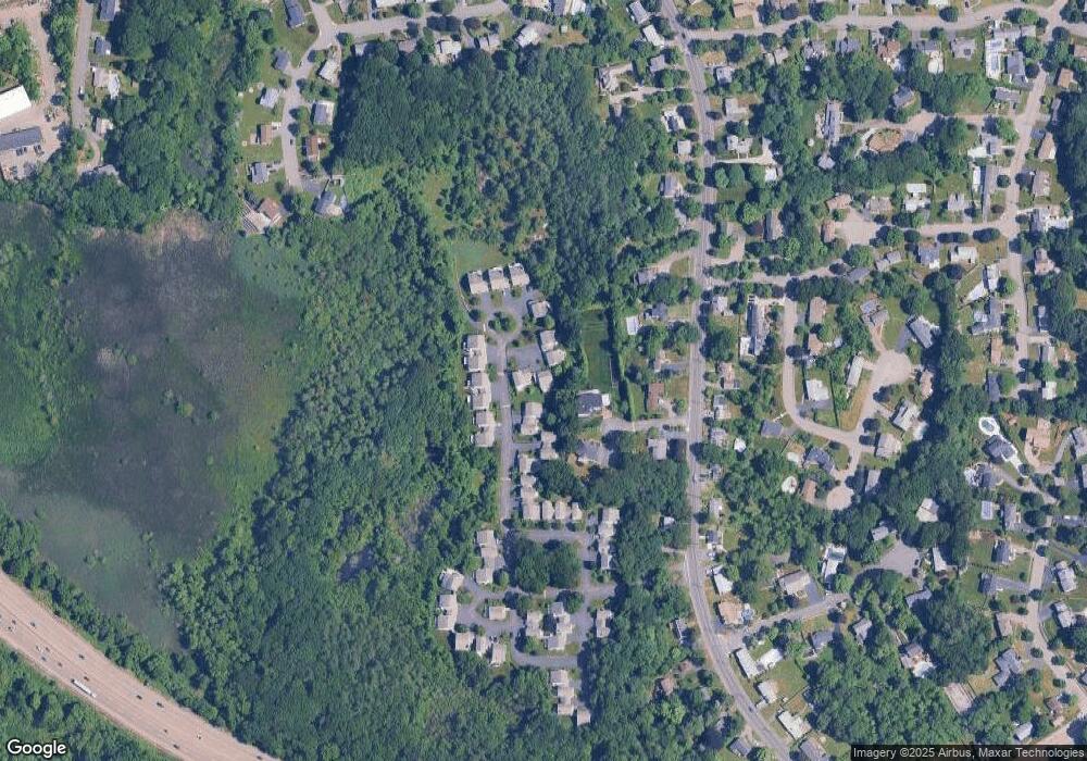
Map
Nearby Homes
- 605 Middle St Unit 38
- 298 Lisle St
- 230 Lisle St
- 428 John Mahar Hwy Unit 301
- 414 John Mahar Hwy Unit 402
- 418 John Mahar Hwy Unit 408
- 61 Grove St
- 491 Washington St Unit 1
- 51 Faxon St
- 6 Franklin St
- 37 Monatiquot Ave
- 37 Lantern Ln
- 15 Summer St
- 501 Commerce Dr Unit 2310
- 501 Commerce Dr Unit 1111
- 501 Commerce Dr Unit 4206
- 501 Commerce Dr Unit 4308
- 501 Commerce Dr Unit 4306
- 6 Oak St
- 972 Liberty St
- 605 Middle St Unit 23
- 605 Middle St Unit 22
- 605 Middle St Unit 21
- 605 Middle St Unit 33
- 605 Middle St Unit 32
- 605 Middle St Unit 16
- 605 Middle St Unit 15
- 605 Middle St Unit 13
- 605 Middle St Unit 12
- 605 Middle St Unit 11
- 605 Middle St Unit 10
- 605 Middle St Unit 19
- 605 Middle St Unit 18
- 605 Middle St Unit 17
- 605 Middle St Unit 20
- 605 Middle St Unit 24
- 605 Middle St Unit 30
- 605 Middle St Unit 29
- 605 Middle St Unit 28
- 605 Middle St Unit 27