605 Middle St Unit 23 Braintree, MA 02184
East Braintree NeighborhoodEstimated Value: $808,224 - $941,000
3
Beds
3
Baths
3,673
Sq Ft
$236/Sq Ft
Est. Value
About This Home
This home is located at 605 Middle St Unit 23, Braintree, MA 02184 and is currently estimated at $868,056, approximately $236 per square foot. 605 Middle St Unit 23 is a home located in Norfolk County with nearby schools including Braintree High School, Step Ahead Kindergarten, and Sacred Heart Elementary School.
Ownership History
Date
Name
Owned For
Owner Type
Purchase Details
Closed on
Feb 14, 2023
Sold by
Clancy Joseph P and Clancy Geraldine M
Bought by
Clancy Family Norfolk Rt
Current Estimated Value
Purchase Details
Closed on
Feb 9, 2023
Sold by
Clancy Family Lp
Bought by
Clancy Joseph P
Purchase Details
Closed on
Mar 31, 2020
Sold by
Messina Residential Props
Bought by
Clancy Family Lp
Home Financials for this Owner
Home Financials are based on the most recent Mortgage that was taken out on this home.
Original Mortgage
$90,000
Interest Rate
3.4%
Mortgage Type
New Conventional
Create a Home Valuation Report for This Property
The Home Valuation Report is an in-depth analysis detailing your home's value as well as a comparison with similar homes in the area
Home Values in the Area
Average Home Value in this Area
Purchase History
| Date | Buyer | Sale Price | Title Company |
|---|---|---|---|
| Clancy Family Norfolk Rt | -- | None Available | |
| Clancy Joseph P | -- | None Available | |
| Clancy Family Lp | $615,000 | None Available |
Source: Public Records
Mortgage History
| Date | Status | Borrower | Loan Amount |
|---|---|---|---|
| Previous Owner | Clancy Family Lp | $90,000 |
Source: Public Records
Tax History
| Year | Tax Paid | Tax Assessment Tax Assessment Total Assessment is a certain percentage of the fair market value that is determined by local assessors to be the total taxable value of land and additions on the property. | Land | Improvement |
|---|---|---|---|---|
| 2025 | $7,371 | $738,600 | $0 | $738,600 |
| 2024 | $7,387 | $779,200 | $0 | $779,200 |
| 2023 | $6,638 | $680,100 | $0 | $680,100 |
| 2022 | $6,505 | $653,800 | $0 | $653,800 |
| 2021 | $5,811 | $584,000 | $0 | $584,000 |
| 2020 | $7,072 | $717,200 | $0 | $717,200 |
| 2019 | $7,823 | $775,300 | $0 | $775,300 |
| 2018 | $7,523 | $713,800 | $0 | $713,800 |
| 2017 | $7,394 | $688,500 | $0 | $688,500 |
| 2016 | $7,242 | $659,600 | $0 | $659,600 |
| 2015 | $6,704 | $605,600 | $0 | $605,600 |
| 2014 | $6,861 | $600,800 | $0 | $600,800 |
Source: Public Records
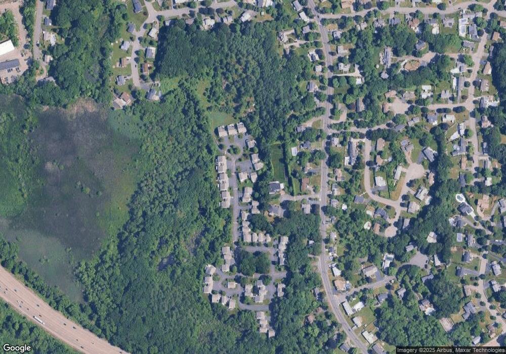
Map
Nearby Homes
- 31 Doris Rd
- 36 Chestnut Ave
- 418 John Mahar Hwy Unit 408
- 50 Cleveland Ave
- 426 John Mahar Hwy Unit 311
- 422 John Mahar Hwy Unit 408
- 5 Woodsum Dr Unit 12
- 82 Lester Ln
- 255 River St
- 43 Grove Cir
- 300 Commercial St Unit 23
- 469-471 Washington St
- 491 Washington St Unit 1
- 6 Franklin St
- 145 Hancock St Unit 307
- 145 Hancock St Unit 201
- 20 Vine St
- 37 Lantern Ln
- 41 Lantern Ln
- 15 Summer St
- 605 Middle St Unit 22
- 605 Middle St Unit 21
- 605 Middle St Unit 33
- 605 Middle St Unit 32
- 605 Middle St Unit 16
- 605 Middle St Unit 15
- 605 Middle St Unit 14
- 605 Middle St Unit 13
- 605 Middle St Unit 12
- 605 Middle St Unit 11
- 605 Middle St Unit 10
- 605 Middle St Unit 19
- 605 Middle St Unit 18
- 605 Middle St Unit 17
- 605 Middle St Unit 20
- 605 Middle St Unit 24
- 605 Middle St Unit 30
- 605 Middle St Unit 29
- 605 Middle St Unit 28
- 605 Middle St Unit 27
Your Personal Tour Guide
Ask me questions while you tour the home.