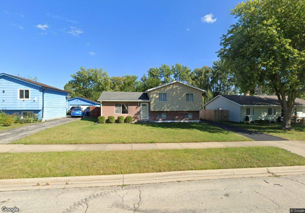
605 N Metropolitan Ave Waukegan, IL 60085
West Waukegan NeighborhoodEstimated Value: $202,000 - $297,000
3
Beds
1
Bath
1,634
Sq Ft
$160/Sq Ft
Est. Value
About This Home
This home is located at 605 N Metropolitan Ave, Waukegan, IL 60085 and is currently estimated at $261,231, approximately $159 per square foot. 605 N Metropolitan Ave is a home located in Lake County with nearby schools including Whittier Elementary School, Robert E. Abbott Middle School, and Waukegan High School.
Ownership History
Date
Name
Owned For
Owner Type
Purchase Details
Closed on
Sep 23, 2008
Sold by
Deutsche Bank National Trust Co
Bought by
Panchi Luis and Perez Esther
Current Estimated Value
Home Financials for this Owner
Home Financials are based on the most recent Mortgage that was taken out on this home.
Original Mortgage
$84,000
Outstanding Balance
$55,630
Interest Rate
6.43%
Mortgage Type
Purchase Money Mortgage
Estimated Equity
$205,601
Purchase Details
Closed on
Jun 20, 2008
Sold by
Jenkins
Bought by
Deutsche Bank National Trust Co and Registered Holders Of Ameriquest Mortgag
Create a Home Valuation Report for This Property
The Home Valuation Report is an in-depth analysis detailing your home's value as well as a comparison with similar homes in the area
Home Values in the Area
Average Home Value in this Area
Purchase History
| Date | Buyer | Sale Price | Title Company |
|---|---|---|---|
| Panchi Luis | $105,000 | Wheatland Title Guaranty | |
| Deutsche Bank National Trust Co | -- | None Available |
Source: Public Records
Mortgage History
| Date | Status | Borrower | Loan Amount |
|---|---|---|---|
| Open | Panchi Luis | $84,000 |
Source: Public Records
Tax History Compared to Growth
Tax History
| Year | Tax Paid | Tax Assessment Tax Assessment Total Assessment is a certain percentage of the fair market value that is determined by local assessors to be the total taxable value of land and additions on the property. | Land | Improvement |
|---|---|---|---|---|
| 2024 | $4,995 | $68,096 | $12,219 | $55,877 |
| 2023 | $5,356 | $60,967 | $10,940 | $50,027 |
| 2022 | $5,356 | $60,783 | $10,079 | $50,704 |
| 2021 | $4,795 | $51,991 | $8,610 | $43,381 |
| 2020 | $4,810 | $48,436 | $8,021 | $40,415 |
| 2019 | $4,789 | $44,384 | $7,350 | $37,034 |
| 2018 | $4,440 | $40,722 | $9,457 | $31,265 |
| 2017 | $4,271 | $36,028 | $8,367 | $27,661 |
| 2016 | $3,911 | $31,307 | $7,271 | $24,036 |
| 2015 | $3,720 | $28,021 | $6,508 | $21,513 |
| 2014 | $3,286 | $24,962 | $7,770 | $17,192 |
| 2012 | $4,293 | $27,045 | $8,419 | $18,626 |
Source: Public Records
Map
Nearby Homes
- 0 Brookside Ave
- 621 N Austin Ave
- 34887 N Austin Ave
- 603 N Austin Ave
- 615 Tiffany Dr
- 12698 W Grandview Ave
- 12716 W Grandview Ave
- 102 Baldwin Ave
- 2115 Lydia St
- 24 Washington Terrace
- 3210 W Grandview Ave
- 3170 W Monroe St Unit 309
- 2813 Theresa Ave
- 1213 Grand Ave
- 525 Lawrence Ave
- 1005 N Lewis Ave
- 3482 Ellis Ave
- 35400 N Green Bay Rd
- 2810 W Atlantic Ave
- 1023 N Elmwood Ave
- 601 N Metropolitan Ave
- 609 N Metropolitan Ave
- 606 Pioneer Ct
- 537 N Metropolitan Ave
- 613 N Metropolitan Ave
- 600 Pioneer Ct
- 604 N Metropolitan Ave
- 536 Pioneer Ct
- 2810 University Ave
- 533 N Metropolitan Ave
- 608 N Metropolitan Ave
- 610 Pioneer Ct
- 612 N Metropolitan Ave
- 530 Pioneer Ct
- 2811 University Ave
- 529 N Metropolitan Ave
- 616 N Metropolitan Ave
- 532 N Metropolitan Ave
- 526 Pioneer Ct
- 609 Pioneer Ct