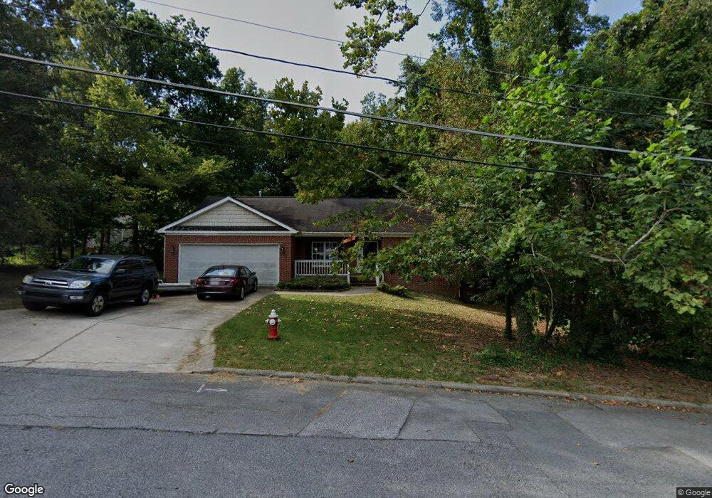
605 Overbrook Dr High Point, NC 27262
Greater High Point NeighborhoodEstimated Value: $316,000 - $341,000
3
Beds
2
Baths
1,965
Sq Ft
$165/Sq Ft
Est. Value
About This Home
This home is located at 605 Overbrook Dr, High Point, NC 27262 and is currently estimated at $324,152, approximately $164 per square foot. 605 Overbrook Dr is a home located in Guilford County with nearby schools including Oak View Elementary School, Ferndale Middle School, and High Point Central High School.
Ownership History
Date
Name
Owned For
Owner Type
Purchase Details
Closed on
Jul 18, 2006
Sold by
Morgan James Darin and Morgan Joal Margaret Coombs
Bought by
Baccus Sherwood
Current Estimated Value
Home Financials for this Owner
Home Financials are based on the most recent Mortgage that was taken out on this home.
Original Mortgage
$70,000
Outstanding Balance
$40,781
Interest Rate
6.6%
Mortgage Type
Purchase Money Mortgage
Estimated Equity
$283,371
Purchase Details
Closed on
Oct 12, 2000
Sold by
Cargal Steven D and Cargal Kathleen Paige
Bought by
Morgan James Darin
Home Financials for this Owner
Home Financials are based on the most recent Mortgage that was taken out on this home.
Original Mortgage
$164,500
Interest Rate
7.96%
Mortgage Type
Stand Alone First
Create a Home Valuation Report for This Property
The Home Valuation Report is an in-depth analysis detailing your home's value as well as a comparison with similar homes in the area
Home Values in the Area
Average Home Value in this Area
Purchase History
| Date | Buyer | Sale Price | Title Company |
|---|---|---|---|
| Baccus Sherwood | $173,500 | None Available | |
| Morgan James Darin | $164,500 | -- |
Source: Public Records
Mortgage History
| Date | Status | Borrower | Loan Amount |
|---|---|---|---|
| Open | Baccus Sherwood | $70,000 | |
| Previous Owner | Morgan James Darin | $164,500 | |
| Closed | Morgan James Darin | $24,675 |
Source: Public Records
Tax History
| Year | Tax Paid | Tax Assessment Tax Assessment Total Assessment is a certain percentage of the fair market value that is determined by local assessors to be the total taxable value of land and additions on the property. | Land | Improvement |
|---|---|---|---|---|
| 2025 | $3,218 | $233,500 | $38,000 | $195,500 |
| 2024 | $3,218 | $233,500 | $38,000 | $195,500 |
| 2023 | $3,218 | $233,500 | $38,000 | $195,500 |
| 2022 | $3,148 | $233,500 | $38,000 | $195,500 |
| 2021 | $2,679 | $194,400 | $25,000 | $169,400 |
| 2020 | $2,679 | $194,400 | $25,000 | $169,400 |
| 2019 | $2,679 | $194,400 | $0 | $0 |
| 2018 | $2,665 | $194,400 | $0 | $0 |
| 2017 | $2,679 | $194,400 | $0 | $0 |
| 2016 | $2,523 | $179,900 | $0 | $0 |
| 2015 | $2,537 | $179,900 | $0 | $0 |
| 2014 | $2,580 | $179,900 | $0 | $0 |
Source: Public Records
Map
Nearby Homes
- 607 Rockspring Rd
- 1508 Wendover Dr
- 443 W Lexington Ave
- 708 Rockspring Rd
- 417 Hillcrest Dr
- 1311 Prescott Place
- 427 Woodbrook Dr
- 1700 Long St
- 914 Flicker Ln
- 510 Otteray Ave
- 1101 Robin Hood Rd
- 1001 Nuthatch Ct
- 207 Hillcrest Dr
- 416 Greenwood Dr
- 900 W Lexington Ave
- 630 Colonial Dr
- 510 Greenwood Dr
- 506 Greenwood Dr
- 1507 Larkin St
- 1607 Larkin St
- 607 Overbrook Dr
- 1407 Emerywood Dr
- 1411 Emerywood Dr
- 609 Overbrook Dr
- 1405 Emerywood Dr
- 508 Overbrook Dr
- 520 Hayworth Cir
- 614 Rockspring Rd
- 1403 Emerywood Dr
- 616 Rockspring Rd
- 506 Overbrook Dr
- 701 Overbrook Dr
- 618 Rockspring Rd
- 703 Overbrook Dr
- 518 Hayworth Cir
- 505 Overbrook Dr
- 511 Hayworth Cir
- 504 Overbrook Dr
- 1500 Whitehall St
- 1412 Emerywood Dr
Your Personal Tour Guide
Ask me questions while you tour the home.