605 Rabbit Branch Rd Shelbyville, TN 37160
Estimated Value: $328,000 - $542,000
--
Bed
3
Baths
1,611
Sq Ft
$262/Sq Ft
Est. Value
About This Home
This home is located at 605 Rabbit Branch Rd, Shelbyville, TN 37160 and is currently estimated at $421,630, approximately $261 per square foot. 605 Rabbit Branch Rd is a home located in Bedford County with nearby schools including East Side Elementary School, Harris Middle School, and Shelbyville Central High School.
Ownership History
Date
Name
Owned For
Owner Type
Purchase Details
Closed on
Aug 2, 2022
Sold by
Ole South Properties Inc
Bought by
Miku Susan C and Miku Brian
Current Estimated Value
Purchase Details
Closed on
Jul 29, 2022
Sold by
Ole South Properties Inc
Bought by
Perez Vicente Yaunner
Purchase Details
Closed on
Jul 20, 2022
Sold by
Ole South Properties Inc
Bought by
Lyons Alexandra July and Lyons Cynterius Devon
Purchase Details
Closed on
Nov 22, 2006
Sold by
Crowell Jan C
Bought by
Andreasen Theodore
Purchase Details
Closed on
Feb 23, 2001
Sold by
Trott Daniel C
Bought by
Trott Daniel C
Purchase Details
Closed on
Dec 6, 1996
Sold by
Trott Daniel C
Bought by
Trott Jennie
Purchase Details
Closed on
Mar 19, 1993
Bought by
Trott Daniel C
Purchase Details
Closed on
Nov 30, 1970
Bought by
Lane Charles D
Create a Home Valuation Report for This Property
The Home Valuation Report is an in-depth analysis detailing your home's value as well as a comparison with similar homes in the area
Home Values in the Area
Average Home Value in this Area
Purchase History
| Date | Buyer | Sale Price | Title Company |
|---|---|---|---|
| Miku Susan C | $399,650 | Mitchell John G | |
| Perez Vicente Yaunner | $376,489 | Mitchell John G | |
| Lyons Alexandra July | -- | Mitchell John G | |
| Andreasen Theodore | $288,500 | -- | |
| Trott Daniel C | -- | -- | |
| Trott Jennie | $200,000 | -- | |
| Trott Daniel C | $32,500 | -- | |
| Lane Charles D | -- | -- |
Source: Public Records
Tax History Compared to Growth
Tax History
| Year | Tax Paid | Tax Assessment Tax Assessment Total Assessment is a certain percentage of the fair market value that is determined by local assessors to be the total taxable value of land and additions on the property. | Land | Improvement |
|---|---|---|---|---|
| 2025 | $1,526 | $65,625 | $0 | $0 |
| 2024 | $1,526 | $65,625 | $12,800 | $52,825 |
| 2023 | $1,526 | $65,625 | $12,800 | $52,825 |
| 2022 | $1,526 | $65,625 | $12,800 | $52,825 |
| 2021 | $1,290 | $65,625 | $12,800 | $52,825 |
| 2020 | $1,230 | $65,625 | $12,800 | $52,825 |
| 2019 | $1,230 | $46,250 | $9,925 | $36,325 |
| 2018 | $1,184 | $46,250 | $9,925 | $36,325 |
| 2017 | $1,184 | $46,250 | $9,925 | $36,325 |
| 2016 | $1,166 | $46,250 | $9,925 | $36,325 |
| 2015 | $1,166 | $46,250 | $9,925 | $36,325 |
| 2014 | $1,045 | $46,038 | $0 | $0 |
Source: Public Records
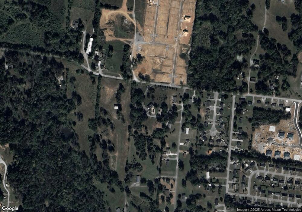
Map
Nearby Homes
- 111 Parker Rd
- 118 Millet St
- 226 Republic St
- 228 Republic St
- 119 Millet St
- 122 Laurelwood Dr
- 410 Dover St
- 181 Hendon Memorial Rd
- 1567 Elevation ABC Plan at Wheatfield
- 1615 Elevation ABC Plan at Wheatfield
- 103 Laurelwood Dr
- 307 Brooklyn Cir
- 406 Fairway Green
- 329 Dover St
- 105 Fairway Green
- 1204 W Lane St
- 116 Earnhart St
- 146 Tanner Cir
- 144 Tanner Cir
- 142 Tanner Cir
- 100 Parker Rd
- 102 Parker Rd
- 602 Rabbit Branch Rd
- 101 Parker Rd
- 109 Parker Rd
- 114 Parker Rd
- 0 Parker Rd
- 104 Briar Patch Dr
- 102 Briar Patch Dr
- 106 Briar Patch Dr
- 100 Briar Patch Dr
- 108 Briar Patch Dr
- 110 Briar Patch Dr
- 116 Parker Rd
- 628 Rabbit Branch Rd
- 112 Briar Patch Dr
- 115 Parker Rd
- 114 Briar Patch Dr
- 520 Rabbit Branch Rd
- 105 Briar Patch Dr