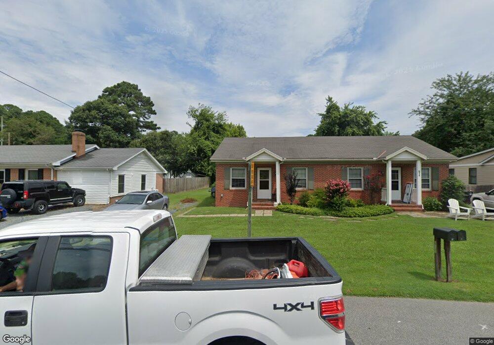
605 Railroad Ave Unit A Saint Michaels, MD 21663
Estimated Value: $262,000 - $325,000
2
Beds
1
Bath
768
Sq Ft
$392/Sq Ft
Est. Value
About This Home
This home is located at 605 Railroad Ave Unit A, Saint Michaels, MD 21663 and is currently estimated at $300,965, approximately $391 per square foot. 605 Railroad Ave Unit A is a home located in Talbot County with nearby schools including St. Michaels Elementary School, St. Michaels Middle/High School, and Easton High School.
Ownership History
Date
Name
Owned For
Owner Type
Purchase Details
Closed on
May 16, 2016
Sold by
Weaver Paul J and Weaver Anna M
Bought by
Keefe Martin H and Keefe Lynette D
Current Estimated Value
Purchase Details
Closed on
Aug 1, 2006
Sold by
Batten Lana H
Bought by
Weaver Paul J
Purchase Details
Closed on
Jul 31, 2006
Sold by
Batten Lana H
Bought by
Weaver Paul J
Purchase Details
Closed on
Nov 10, 2005
Sold by
Harrison M Elwood
Bought by
Batten Lana H
Purchase Details
Closed on
Oct 31, 2005
Sold by
Harrison M Elwood
Bought by
Batten Lana H
Create a Home Valuation Report for This Property
The Home Valuation Report is an in-depth analysis detailing your home's value as well as a comparison with similar homes in the area
Home Values in the Area
Average Home Value in this Area
Purchase History
| Date | Buyer | Sale Price | Title Company |
|---|---|---|---|
| Keefe Martin H | $257,000 | Eastern Shore Title Company | |
| Weaver Paul J | $275,000 | -- | |
| Weaver Paul J | $275,000 | -- | |
| Batten Lana H | -- | -- | |
| Batten Lana H | -- | -- |
Source: Public Records
Tax History Compared to Growth
Tax History
| Year | Tax Paid | Tax Assessment Tax Assessment Total Assessment is a certain percentage of the fair market value that is determined by local assessors to be the total taxable value of land and additions on the property. | Land | Improvement |
|---|---|---|---|---|
| 2025 | $2,417 | $213,000 | $80,000 | $133,000 |
| 2024 | $2,417 | $195,733 | $0 | $0 |
| 2023 | $2,120 | $178,467 | $0 | $0 |
| 2022 | $1,848 | $161,200 | $59,500 | $101,700 |
| 2021 | $1,800 | $160,500 | $0 | $0 |
| 2020 | $1,815 | $159,800 | $0 | $0 |
| 2019 | $1,807 | $159,100 | $59,500 | $99,600 |
| 2018 | $1,727 | $154,867 | $0 | $0 |
| 2017 | $1,627 | $150,633 | $0 | $0 |
| 2016 | $1,409 | $146,400 | $0 | $0 |
| 2015 | $1,735 | $146,400 | $0 | $0 |
| 2014 | $1,735 | $146,400 | $0 | $0 |
Source: Public Records
Map
Nearby Homes
- 300 Perry St
- 207 Dodson Ave
- 209 Webb Ln
- 216 Brooks Ln
- 408 Spinnaker Ln
- 100 Grace St
- 107 E Chestnut St
- 25500 Chance Farm Rd
- 216 E Chew Ave
- 704 Meadow St
- 105 Seymour Ave
- Lot 16A Meadow St
- 807 Radcliff Ave
- 912 Calvert Ave
- 9171 Deepwater Point Rd
- 24318 Oakwood Park Rd
- 24390 Oakwood Park Rd
- 228 Tyler Ave
- 23869 Mount Misery Rd
- 24362 Widgeon Place Unit 4
- 605 Railroad Ave Unit 1 2
- 605 Railroad Ave
- 505 Railroad Ave
- 605 Railroad Ave Unit B
- 605 Railroad Ave
- 605 Railroad Ave Unit 2
- 605 Railroad Ave Unit 2
- 605 Railroad Ave Unit 1
- 507 Railroad Ave
- 501 Railroad Ave
- 503 Railroad Ave
- 504 Railroad Ave
- 509 Railroad Ave
- 506 Railroad Ave
- 409 Railroad Ave
- 230 North St
- 228 North St
- 500 Railroad Ave
- 234 North St
- 101 Miles Ave