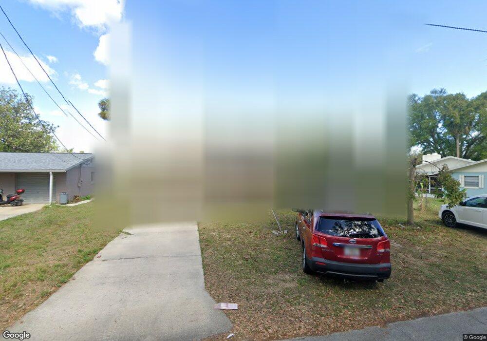
605 Richard St New Smyrna Beach, FL 32168
Fairway NeighborhoodEstimated Value: $250,662 - $264,000
2
Beds
1
Bath
1,208
Sq Ft
$213/Sq Ft
Est. Value
About This Home
This home is located at 605 Richard St, New Smyrna Beach, FL 32168 and is currently estimated at $257,166, approximately $212 per square foot. 605 Richard St is a home located in Volusia County with nearby schools including Chisholm Elementary School, New Smyrna Beach Middle School, and New Smyrna Beach High School.
Ownership History
Date
Name
Owned For
Owner Type
Purchase Details
Closed on
Aug 11, 2011
Sold by
Southeast Volusia Humane Society Inc
Bought by
Schimizzi Zenaida B
Current Estimated Value
Purchase Details
Closed on
Feb 1, 2011
Sold by
Trudo Nancy
Bought by
Lewin Elliot and Lewin Linda
Purchase Details
Closed on
Jan 15, 1991
Bought by
Schimizzi Zenaida B
Purchase Details
Closed on
Dec 15, 1979
Bought by
Schimizzi Zenaida B
Create a Home Valuation Report for This Property
The Home Valuation Report is an in-depth analysis detailing your home's value as well as a comparison with similar homes in the area
Home Values in the Area
Average Home Value in this Area
Purchase History
| Date | Buyer | Sale Price | Title Company |
|---|---|---|---|
| Schimizzi Zenaida B | $16,200 | Southern Title Holding Compa | |
| Schimizzi Zenaida B | $48,800 | Southern Title Holding Compa | |
| Lewin Elliot | $2,500 | Attorney | |
| Schimizzi Zenaida B | $50,000 | -- | |
| Schimizzi Zenaida B | $34,500 | -- |
Source: Public Records
Tax History Compared to Growth
Tax History
| Year | Tax Paid | Tax Assessment Tax Assessment Total Assessment is a certain percentage of the fair market value that is determined by local assessors to be the total taxable value of land and additions on the property. | Land | Improvement |
|---|---|---|---|---|
| 2025 | $688 | $106,872 | -- | -- |
| 2024 | $537 | $95,344 | -- | -- |
| 2023 | $537 | $92,567 | $0 | $0 |
| 2022 | $557 | $89,871 | $0 | $0 |
| 2021 | $548 | $87,253 | $0 | $0 |
| 2020 | $541 | $86,048 | $0 | $0 |
| 2019 | $531 | $84,113 | $0 | $0 |
| 2018 | $525 | $82,545 | $0 | $0 |
| 2017 | $519 | $80,847 | $0 | $0 |
| 2016 | $857 | $79,184 | $0 | $0 |
| 2015 | $877 | $78,634 | $0 | $0 |
| 2014 | $876 | $78,010 | $0 | $0 |
Source: Public Records
Map
Nearby Homes
- 704 Lynn Ave
- 723 Dougherty St
- 702 Eleanore Ave
- 719 Jane Ave
- 607 N Dixie Fwy
- 7467 Route 1
- 722 Neal St
- 12 Country Club Dr Unit B
- 725 Green Rd
- 532 Faulkner St
- 705 Faulkner St
- 536 Faulkner St
- 513 Ball St
- 1018 Claudia St
- 334 Sheldon St
- 903 N Dixie Fwy
- 508 Faulkner St
- 486 Oak St
- 218 Mary Ave
- 509 Faulkner St