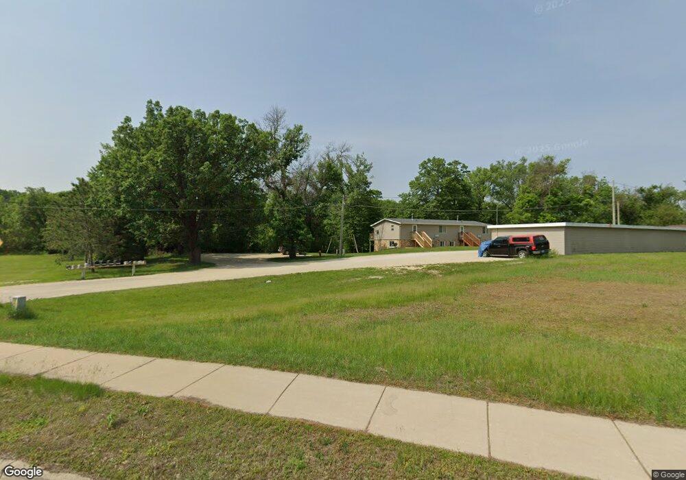
605 River Rd Cannon Falls, MN 55009
Estimated Value: $213,000 - $385,000
8
Beds
4
Baths
1,440
Sq Ft
$226/Sq Ft
Est. Value
About This Home
This home is located at 605 River Rd, Cannon Falls, MN 55009 and is currently estimated at $325,547, approximately $226 per square foot. 605 River Rd is a home located in Goodhue County with nearby schools including Cannon Falls Elementary School, Cannon Falls High School and Middle School, and St. Paul's Lutheran Elementary School.
Ownership History
Date
Name
Owned For
Owner Type
Purchase Details
Closed on
Apr 13, 2016
Sold by
Meyers Matthew J and Hernke Cole R
Bought by
Double A Rental Llc
Current Estimated Value
Purchase Details
Closed on
Mar 28, 2016
Sold by
Deutsch Dennis A and Deutsch Joan V
Bought by
Meyers Matthew J and Hernke Cole R
Purchase Details
Closed on
Apr 22, 1997
Sold by
Community National Bank
Bought by
Deutsch Dennis A and Deutsch Joan
Purchase Details
Closed on
Jan 15, 1997
Sold by
Munson Marlow S
Bought by
Community National Bank
Create a Home Valuation Report for This Property
The Home Valuation Report is an in-depth analysis detailing your home's value as well as a comparison with similar homes in the area
Home Values in the Area
Average Home Value in this Area
Purchase History
| Date | Buyer | Sale Price | Title Company |
|---|---|---|---|
| Double A Rental Llc | -- | Attorney | |
| Meyers Matthew J | $191,500 | Attorney | |
| Deutsch Dennis A | $125,000 | -- | |
| Community National Bank | $52,964 | -- |
Source: Public Records
Tax History Compared to Growth
Tax History
| Year | Tax Paid | Tax Assessment Tax Assessment Total Assessment is a certain percentage of the fair market value that is determined by local assessors to be the total taxable value of land and additions on the property. | Land | Improvement |
|---|---|---|---|---|
| 2025 | $4,904 | $312,800 | $111,600 | $201,200 |
| 2024 | $4,904 | $312,800 | $83,500 | $229,300 |
| 2023 | $2,440 | $306,800 | $83,500 | $223,300 |
| 2022 | $4,632 | $279,900 | $67,200 | $212,700 |
| 2021 | $4,262 | $255,800 | $67,200 | $188,600 |
| 2020 | $4,382 | $230,600 | $57,100 | $173,500 |
| 2019 | $4,312 | $230,600 | $57,100 | $173,500 |
| 2018 | $4,160 | $225,900 | $57,100 | $168,800 |
| 2017 | $4,322 | $225,900 | $57,100 | $168,800 |
| 2016 | $4,192 | $231,400 | $57,100 | $174,300 |
| 2015 | $3,662 | $224,500 | $57,100 | $167,400 |
| 2014 | -- | $219,900 | $63,600 | $156,300 |
Source: Public Records
Map
Nearby Homes
- 900 Hoffman St W
- 201 8th St N
- 307 1st St N
- 100 Barkley Cir W
- 1101 Mill St W
- 212 Ridgecrest Dr
- 102 Bavarian Cir
- 122 Floyd St S Unit 2
- 205 Evergreen Dr E
- 501 2nd St SW
- 616 3rd St SW
- TBD 3rd St
- 101 Maple Ct
- 104 Maple Ct
- 108 Maple Ct
- 110 Maple Ct
- 117 Maple Ct
- Virginia Plan at Hardwood Estates - Single Family Lots
- Vermont Plan at Hardwood Estates - Single Family Lots
- Sycamore Plan at Hardwood Estates - Single Family Lots
- 605 River Rd
- 605 River Rd
- 705 River Rd
- 720 River Rd
- 710 River Rd
- 109 Northwest Ct
- 810 5th St N
- 810 810 5th-Street-n
- 102 Northwest Ct
- 715 Stoughton St W
- 101 Northwest Ct
- 101 Northwest Ct
- 103 Northwest Ct
- 108 Northwest Ct
- 104 Northwest Ct
- 107 Northwest Ct
- 106 Northwest Ct
- 106 Northwest Ct
- 105 Northwest Ct
- 104 W Trail Ct